Friday, March 27, 2015

March 23, 2015 Prescribed Fire and Dust Devils

Another controlled burn around Huachuca Mountains. Calm wind and warm temperature supported firefighters to finish the main burn in 3 hours, and blacked nearly 2000 acres. Good job firefighters! And thank you!


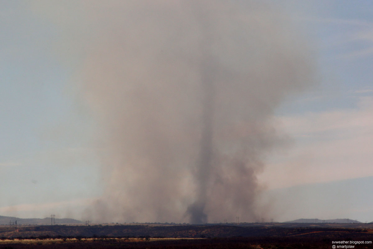
The following video still image shows a twin dust devil in the smoke.


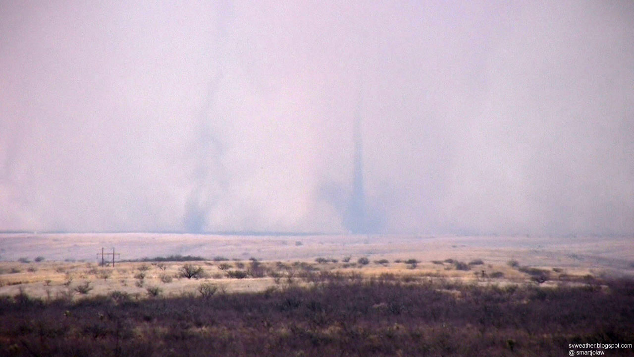
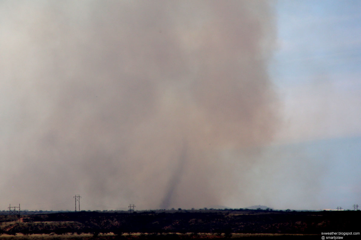
Observed at least 4 of large dust devils during the burn.


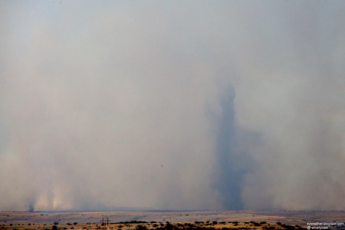
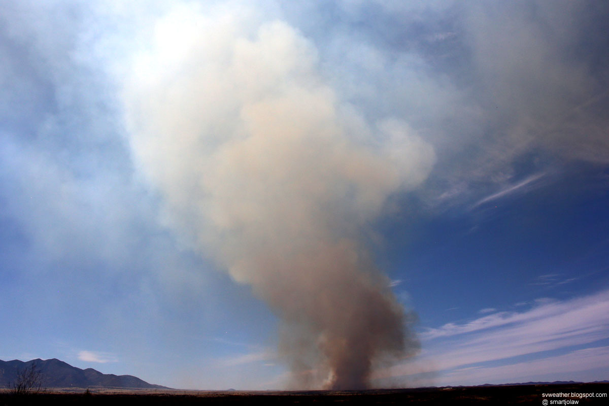
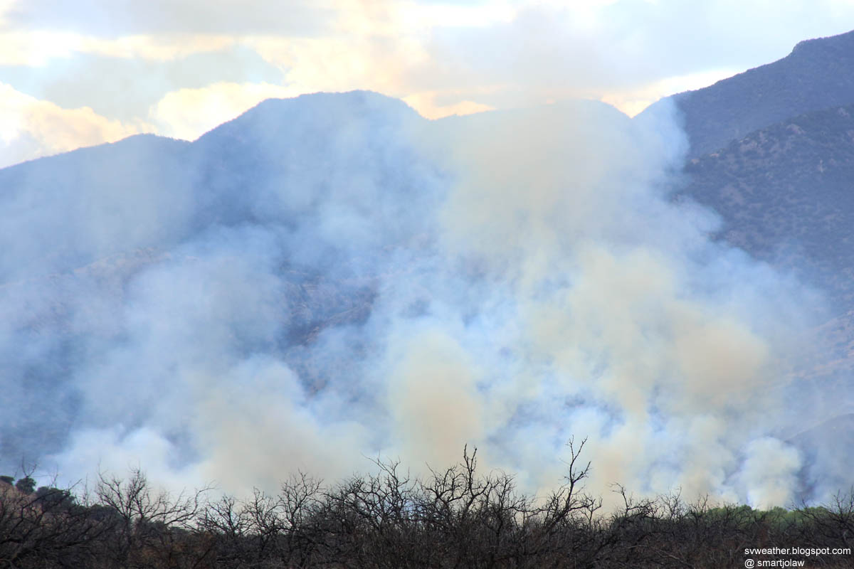
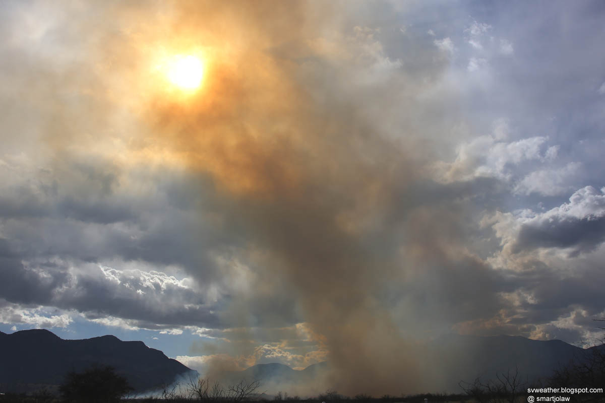
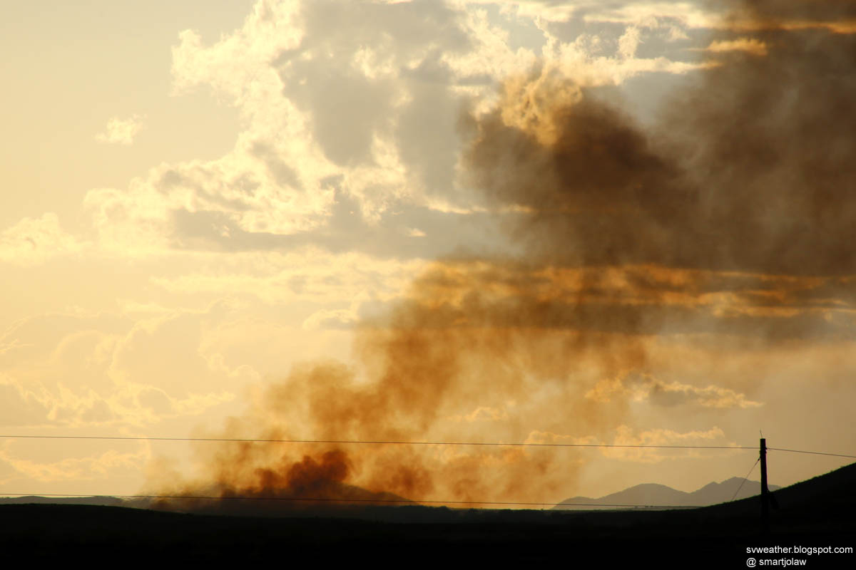
The last intense smoke column.


Time lapse video from 11:20AM to 12:40PM.

Monday, March 23, 2015

A Small Thunderstorm near Sunizona, AZ March 20th, 2015

Around 8:40PM, 4 to 5 of weak thunderstorms developed over Chiricachua mountains, east of Sunizona. The strongest storm produced around three dozens of cloud-to-cloud lightning.


A very weak cell produced light rain in the middle of Sierra Vista around 9PM.

Sierra Vista Hail Storm, March 19th, 2015

As the storm system exiting to the east, lot of strong thunderstorms developed in southern Arizona. I was southern part of Sierra Vista when the strongest storm (in Cochise county) producing pea size hail in the northeastern part of Sierra Vista. There was no strong echo on radar when the storm producing hail and I did not know what's happening.

12:51PM, looking Whetstone storm from Huachuca City.


1:09PM, looking south on highway 92 near Charlestone Crossing and street flood near Valero. There was no hail at the time.


1:50PM, after hail storm at the Target store in Sierra Vista.

Photos from rainy days March 17th~18th, 2015

Not much of events in the first two days of the wet spring storm system. Just got some nice water drop photos and a cool lowering cloud.

4:40PM, March 17th, 2015

When widespread light showers begin in Cochise county.

March 18th, 2015

At 1:40PM, a very very slow rotating and lowering cloud on Mustang mountains, northwest of Huachua City. Moved to the north and produced moderate rain. No lightning.

Thursday, March 12, 2015

Prescribed Fire on March 9th, 2015

Prescribed fire in Garden Canyon area of Huachuca Mountains, southwest of Sierra Vista, AZ

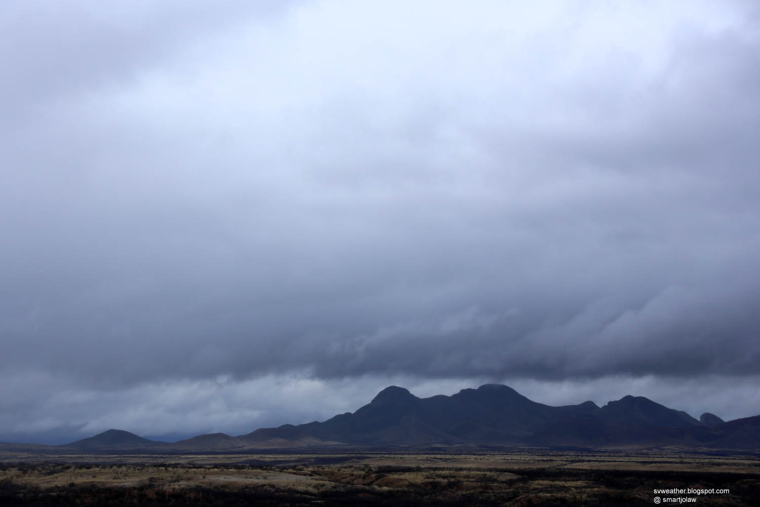
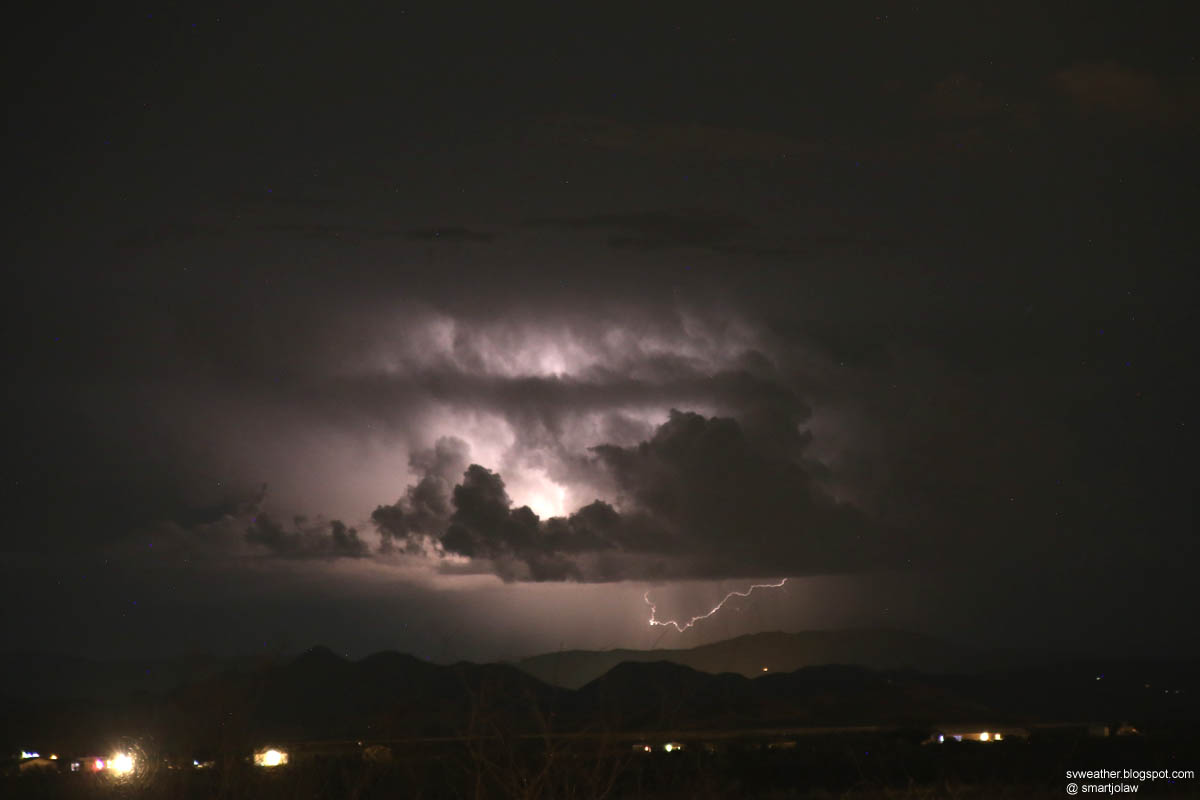
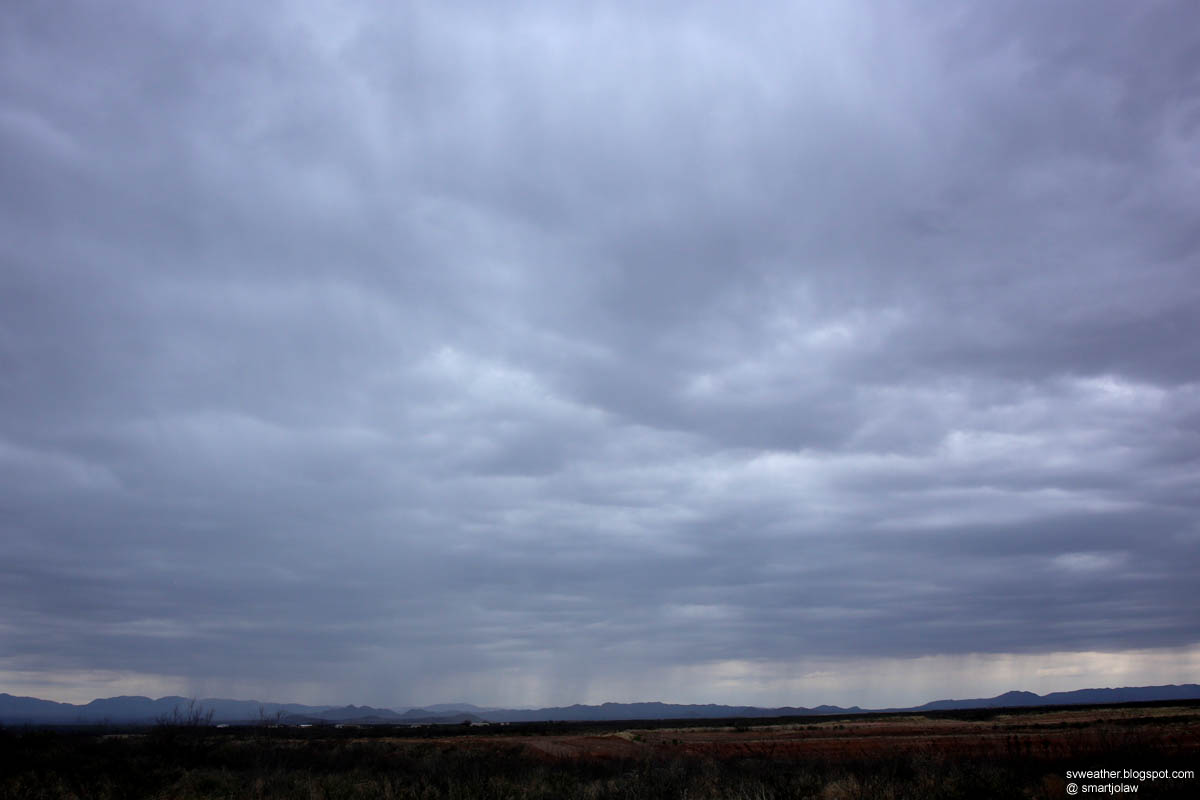
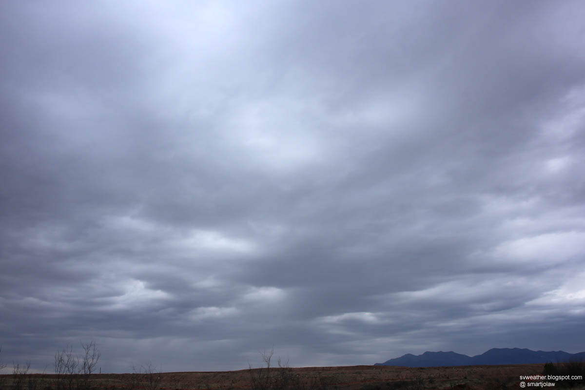
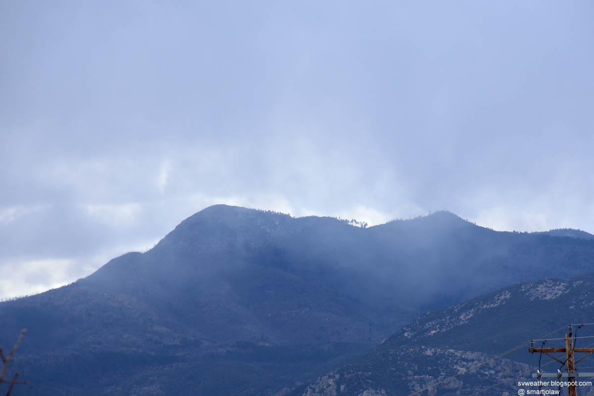
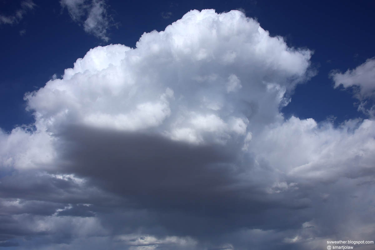
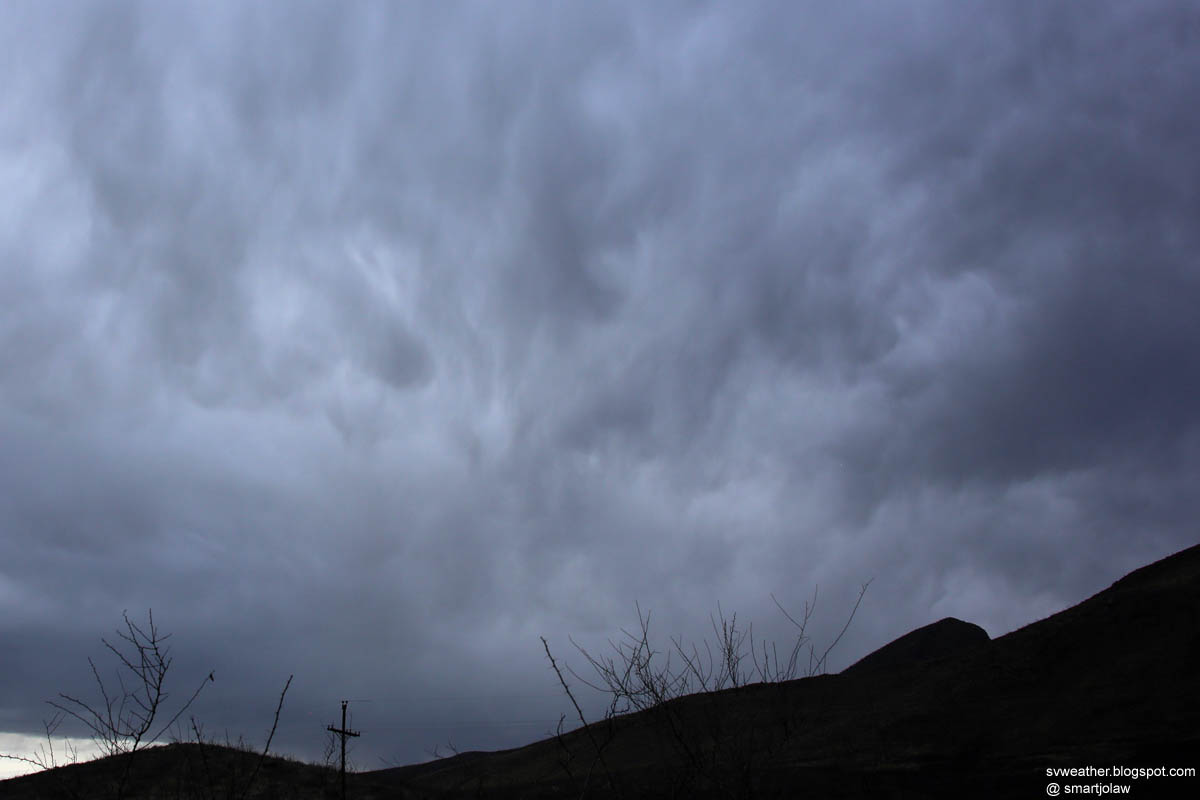
Sprinkle on Carr Peak
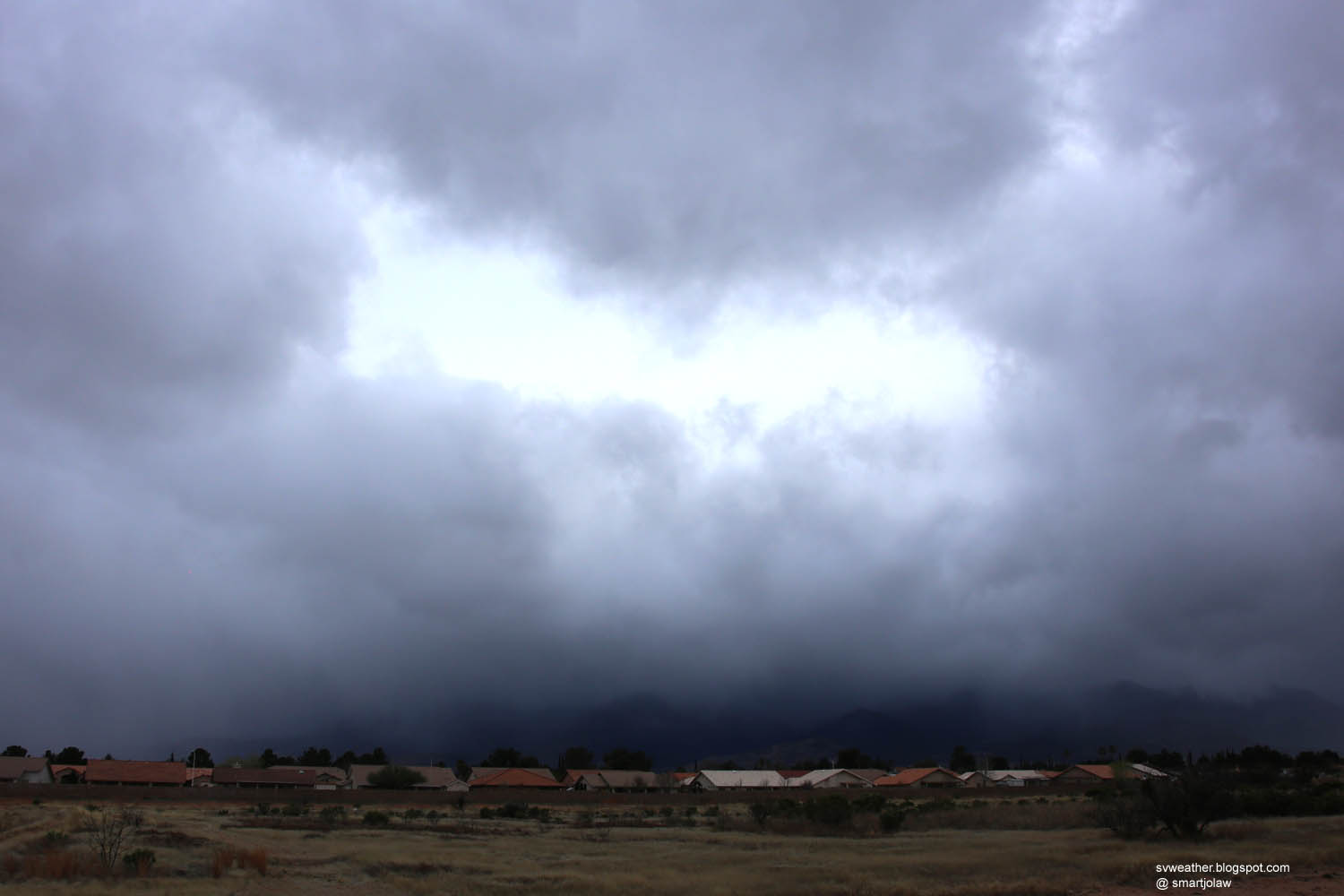
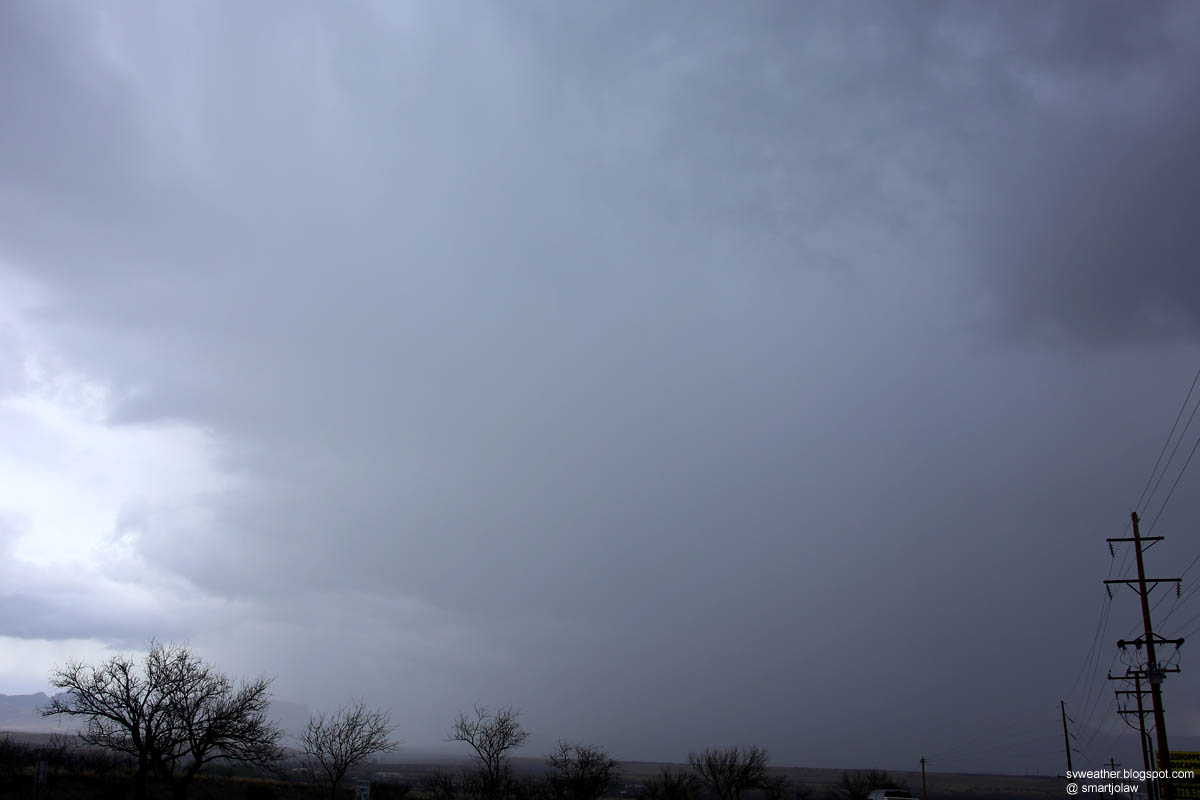
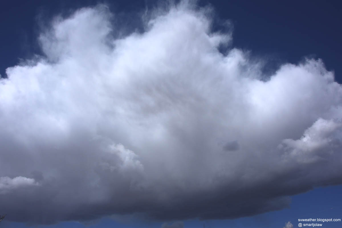
A developing cell just east of Sierra Vista

Clouds and Prescribed Fire Pictures from March 7th to 8th, 2015

March 7th
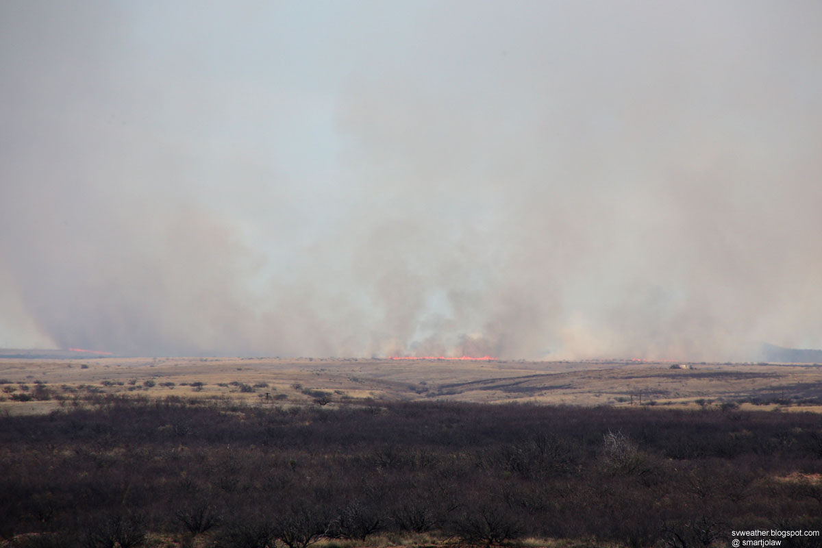
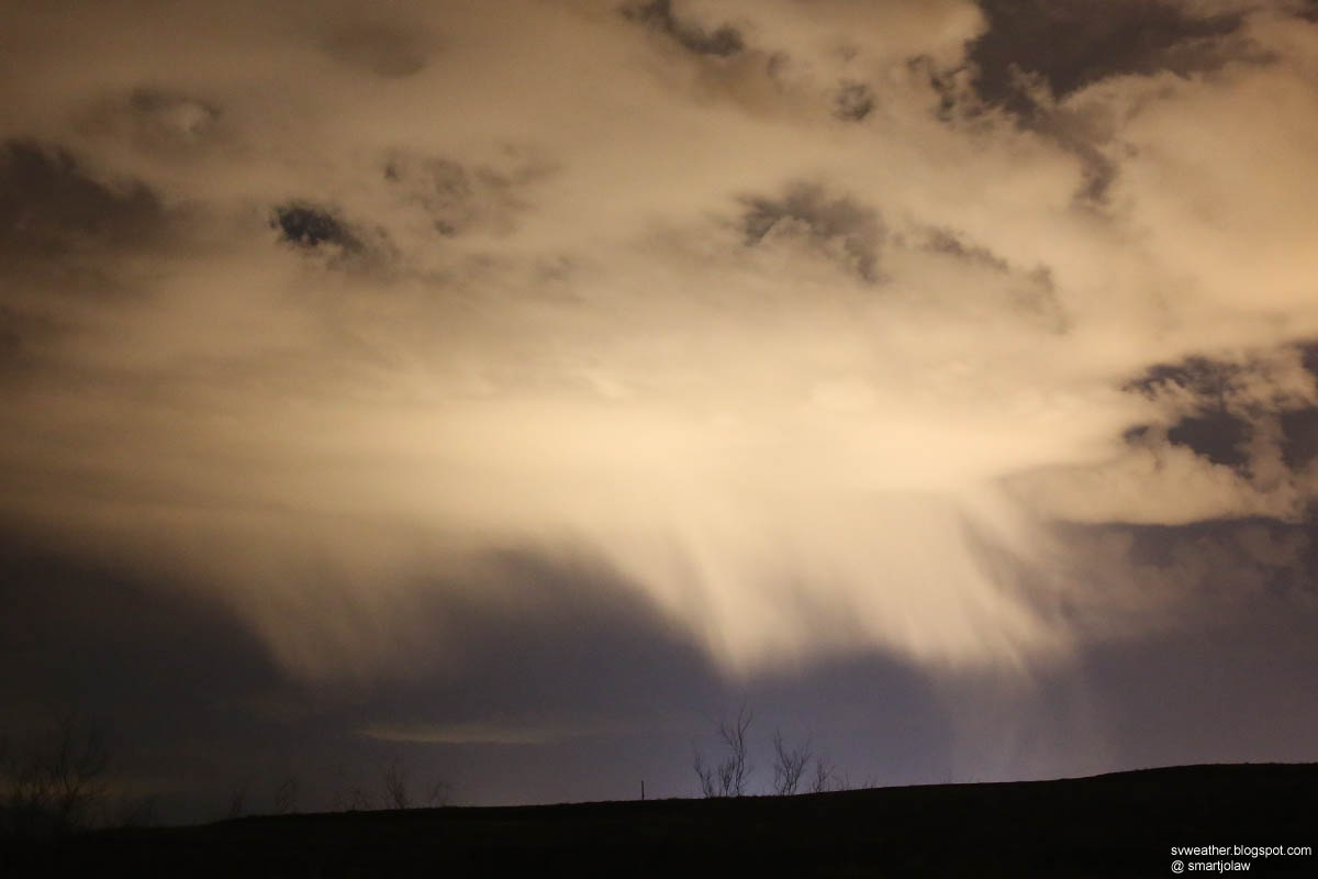
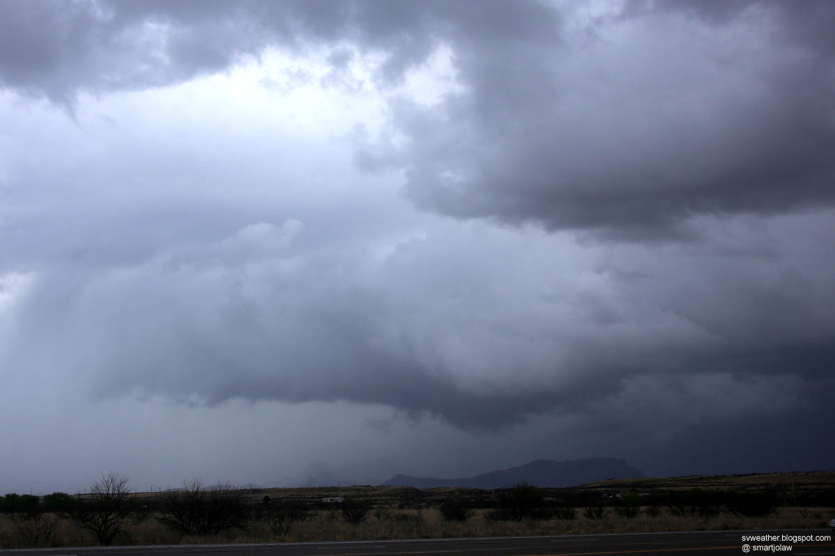
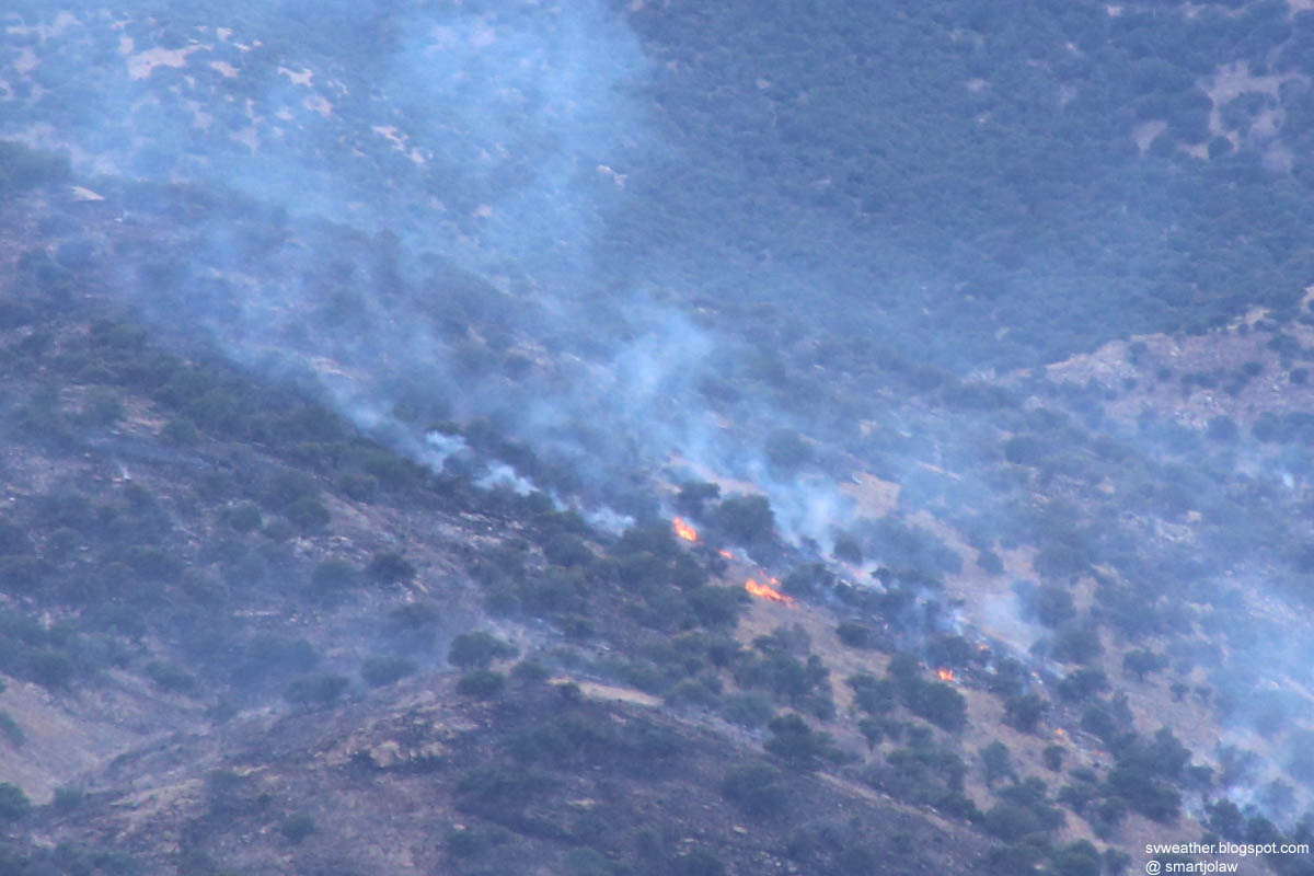
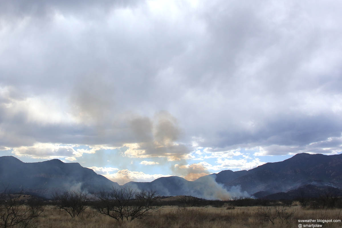
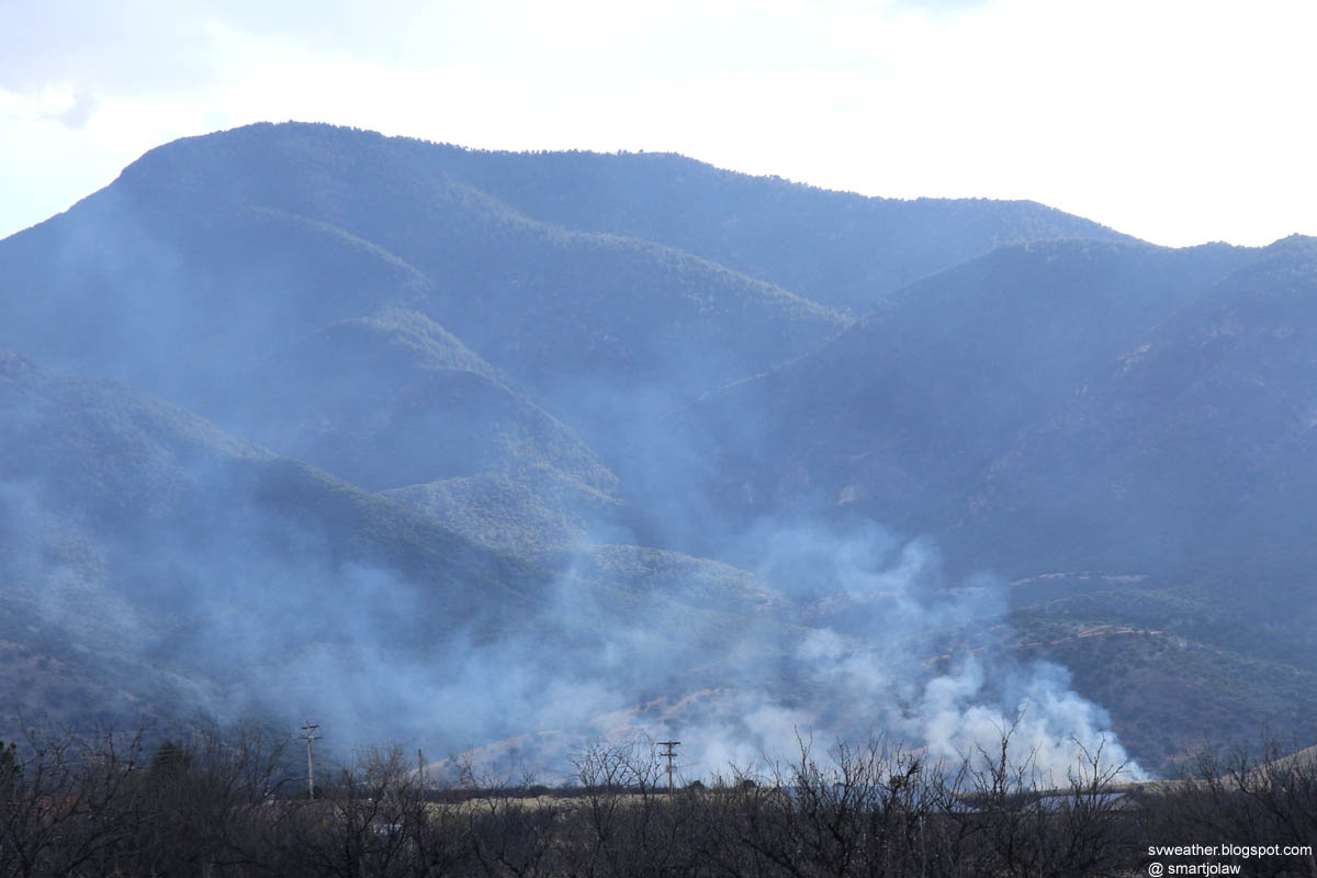
Prescribed burn near the border of Cochise county and Santa Cruz county. It was not a brush fire. Sprinkle over Whetstone Mountains. Looking northwest from highway 82 near Mustang Mountains.

March 8th
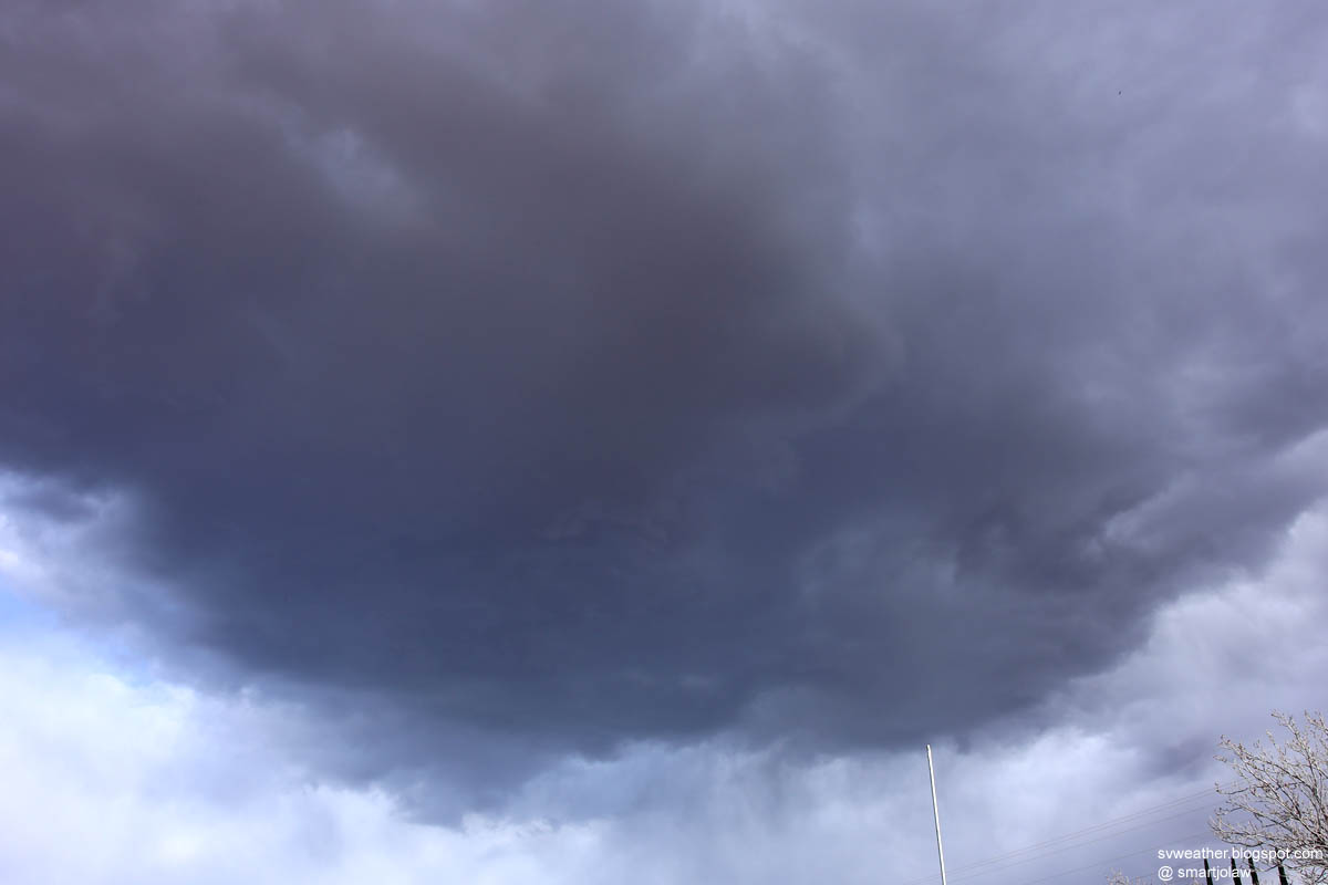
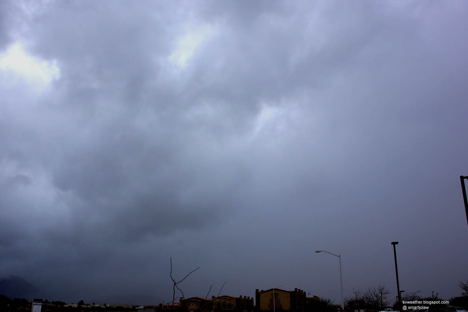
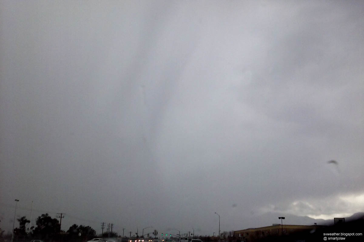
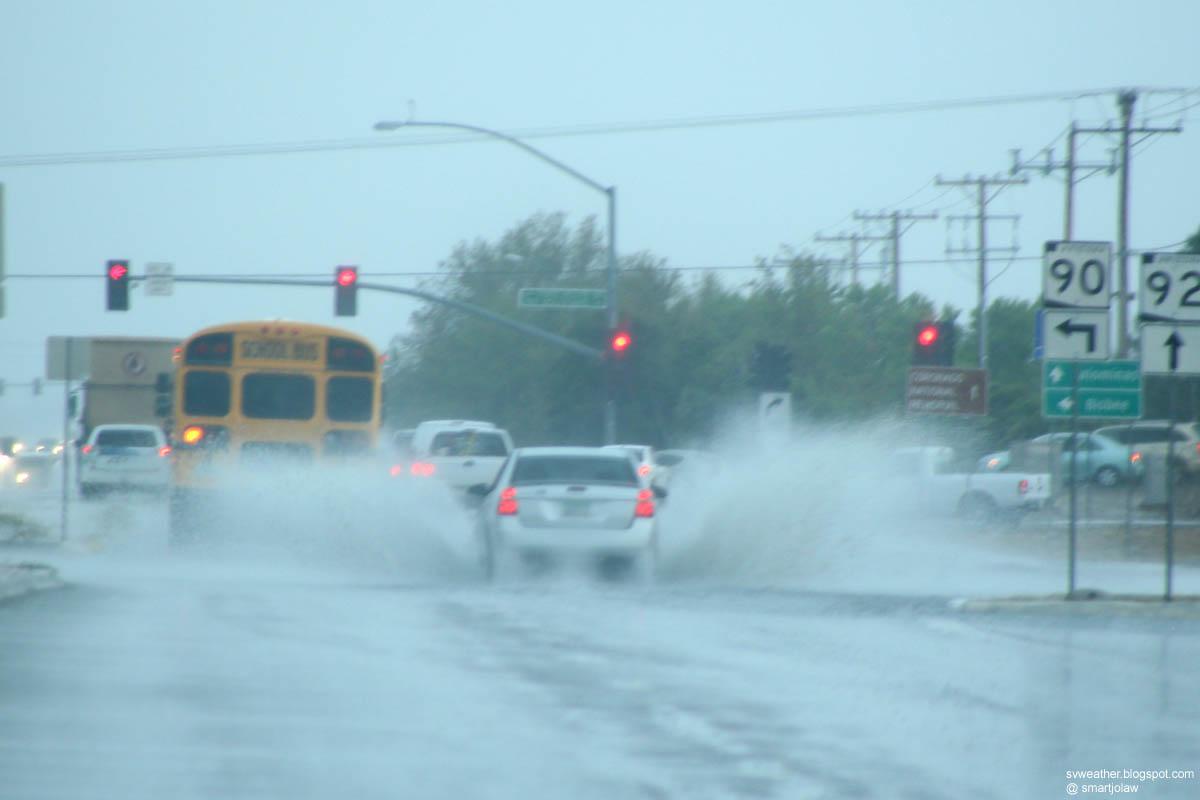
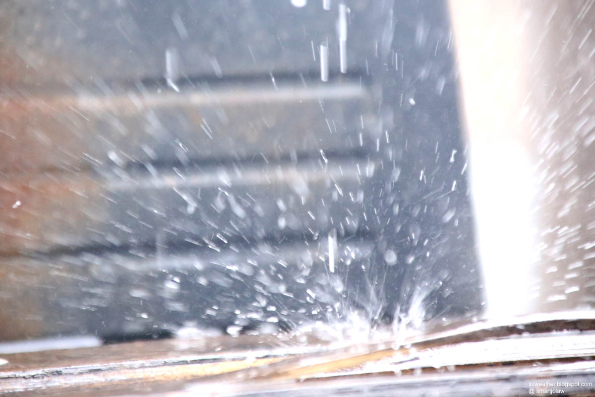
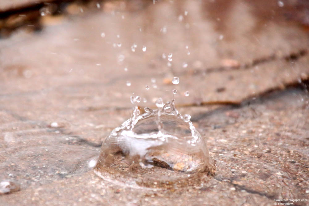
This cell produced moderate rain and wind gust near Sierra Vista Municipal Airport. https://twitter.com/NWSTucson/status/574647456647897088 Developing cloud base just southeast of Huachuca City. Moved into Sierra Vista and produced light rain in evening.

Tuesday, March 3, 2015

Winter Storm Pictures from March 2nd, 2015

A few pictures from the day, not much of events in Sierra Vista area.

March 1st, 2015 Beautiful Sunset

Thank you @CraigMount17 for uploading the great sunset picture! I grabbed my camera and took these pictures right after checked your post.


Looking west from Huachuca City                              Looking southeast. It was 360° sunset!