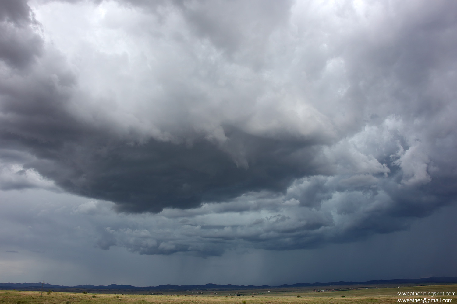
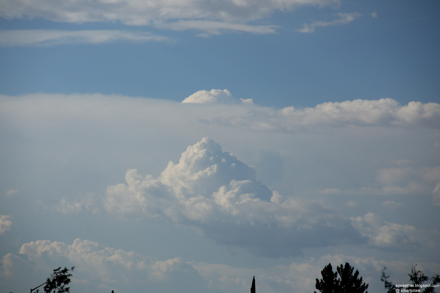
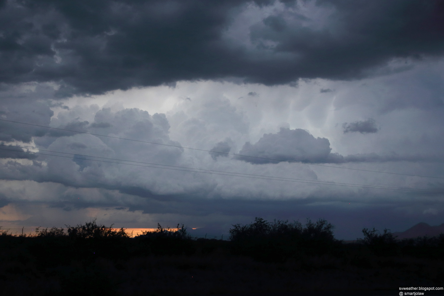
3:34PM, A strong thunderstorm near Elgin.
3:41PM, Lowering clouds near the heaviest rain.
3:44PM, Frequent lightning strikes in the storm.
3:52PM, A new storm base developing over Elgin.
 |
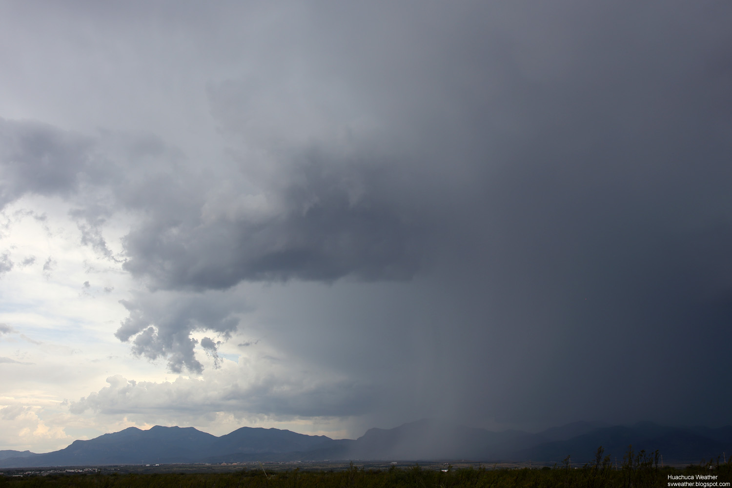 |
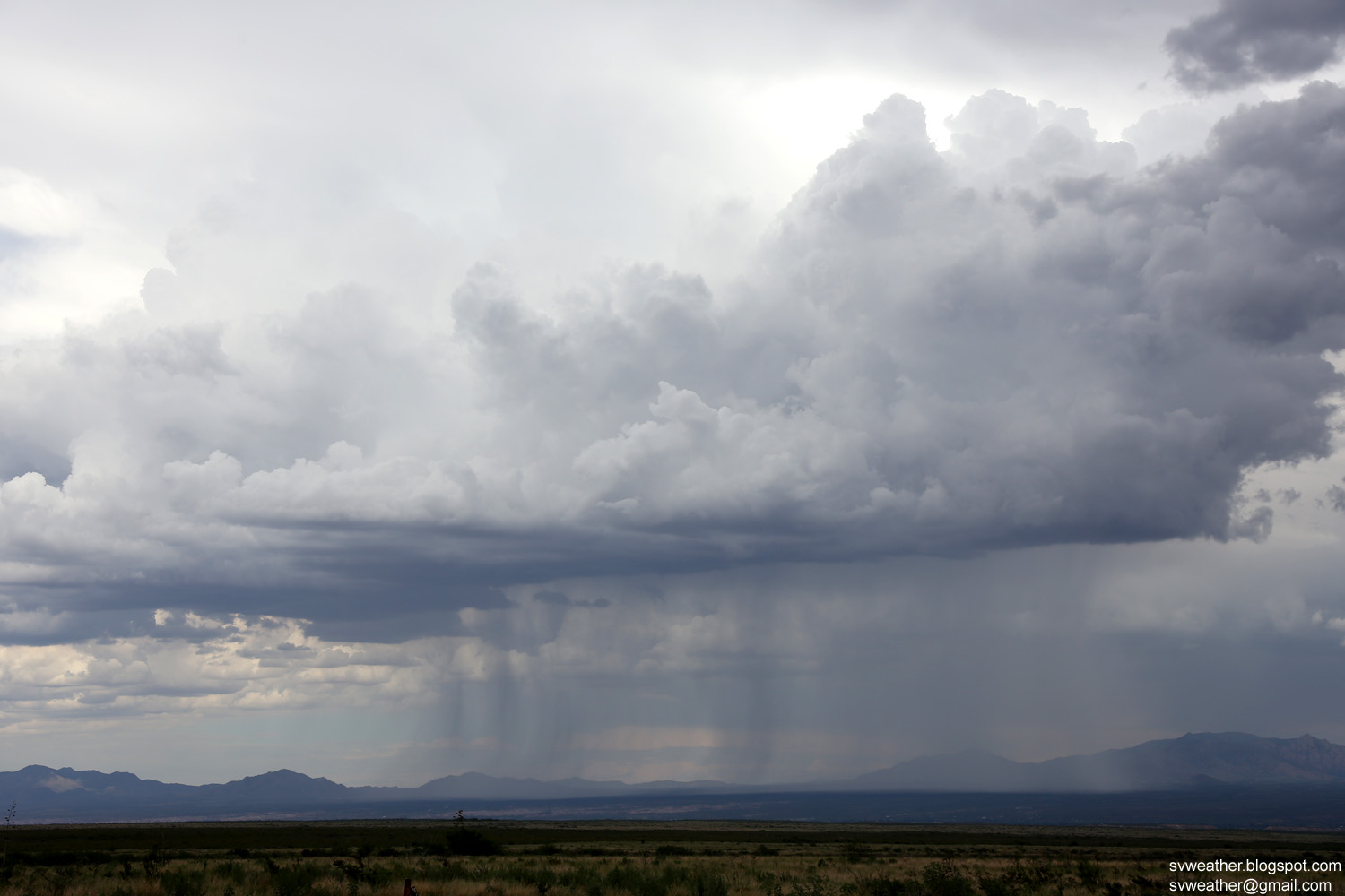
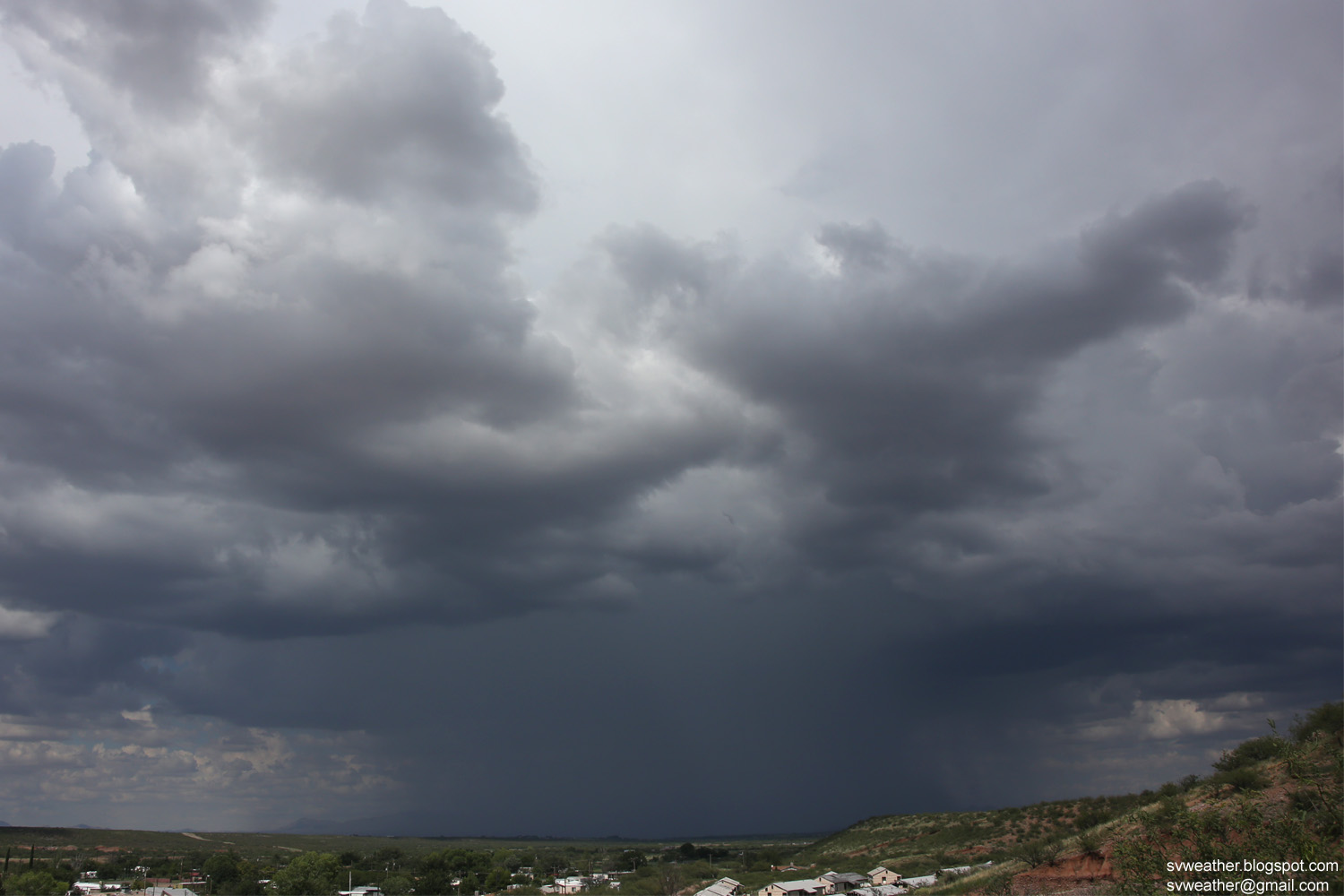
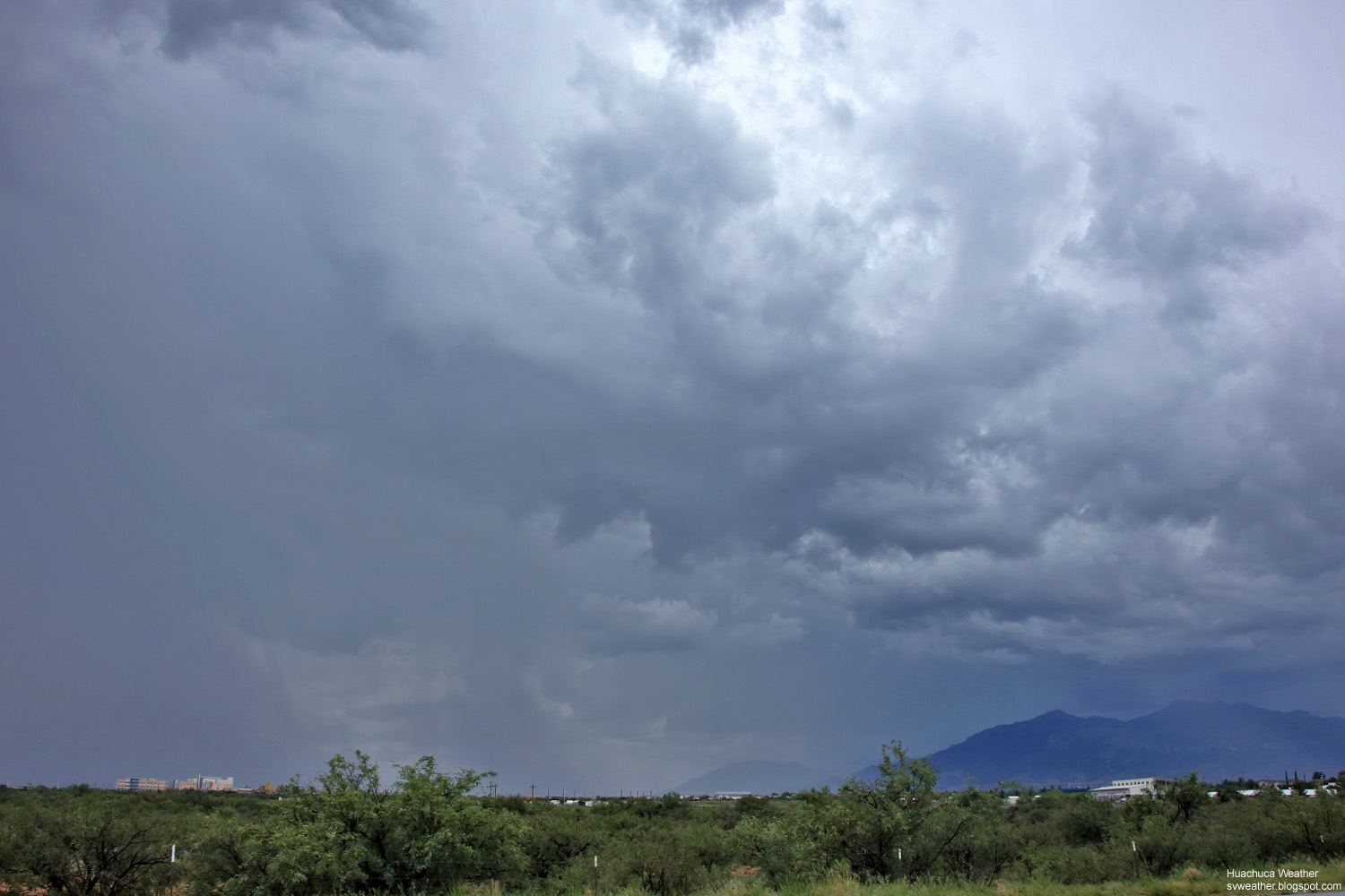
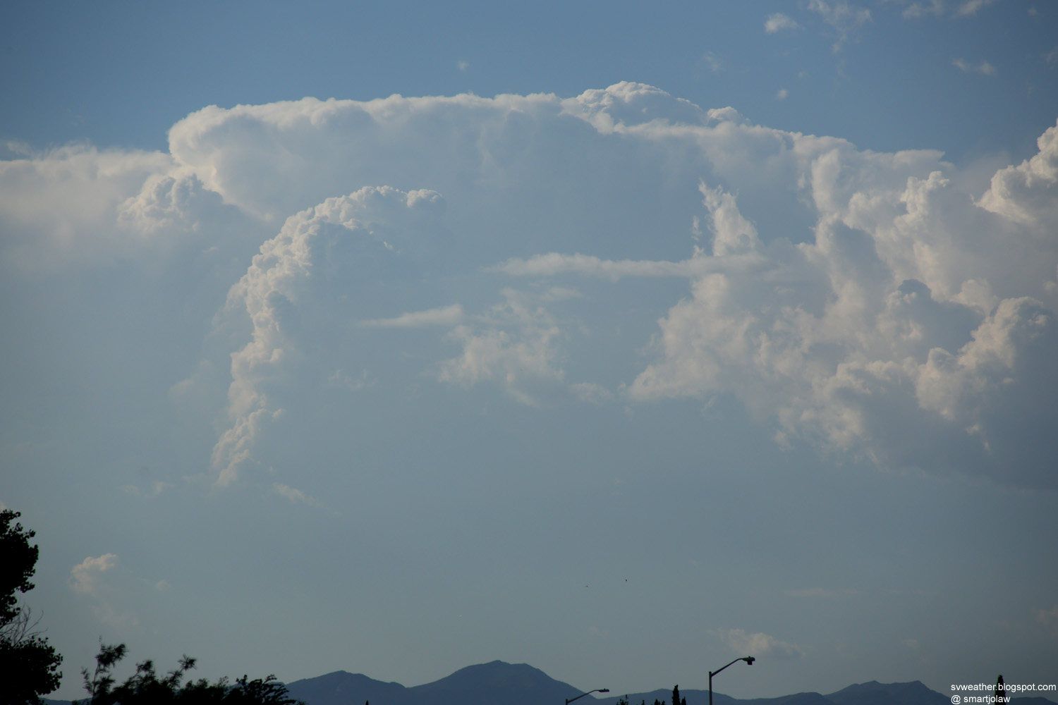
| 3:34PM, Strong thunderstorm north of Bisbee. |
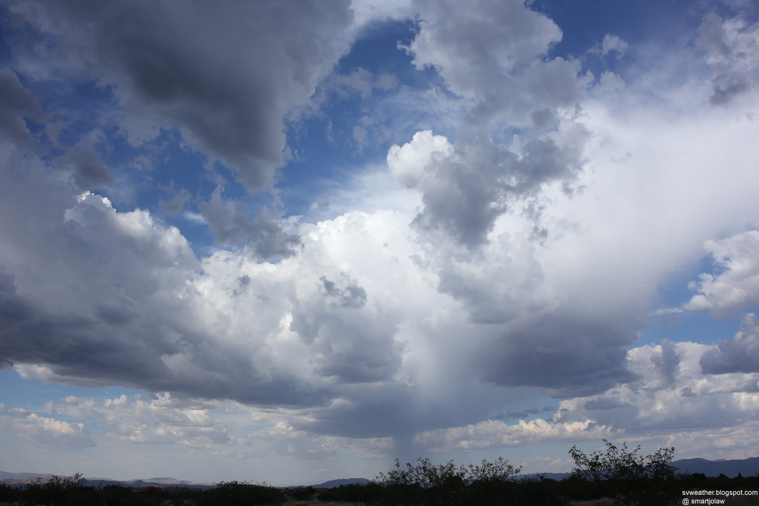
5:38PM, Storm over Huachuca Mountains. |
 |
 |
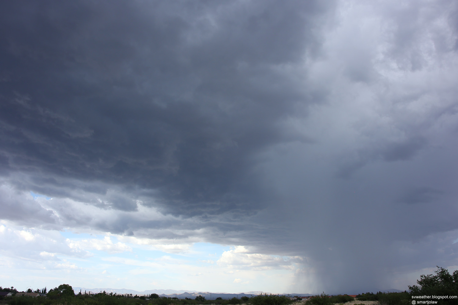
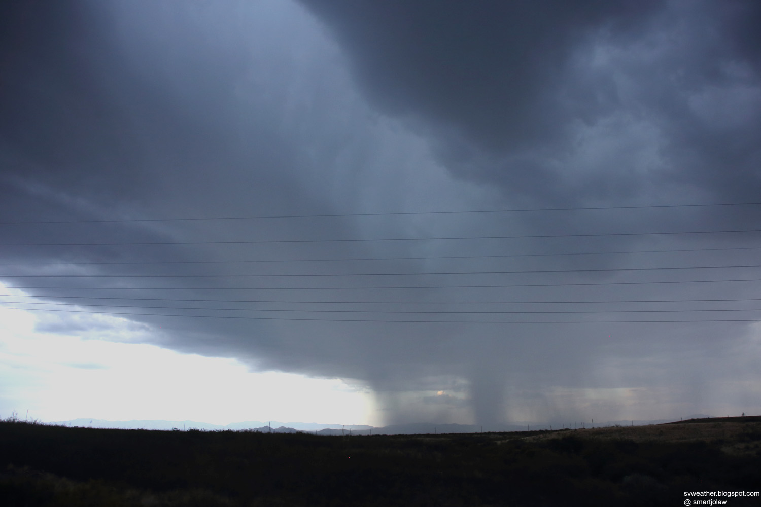
| 6:37PM, Heavy downpour just south of St. David. | 6:40PM, Outflow winds moving out from the storm. |


 |
 |
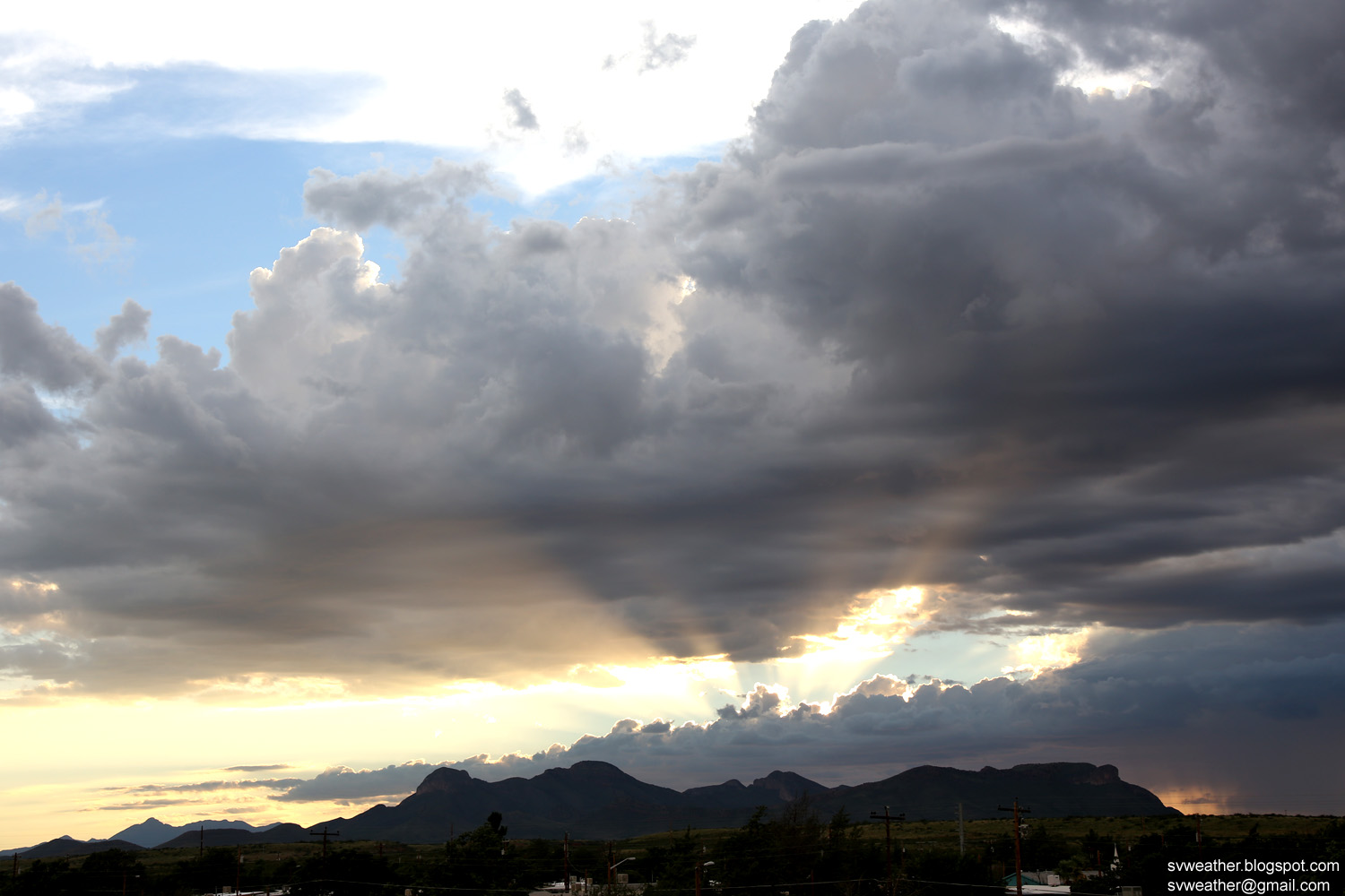
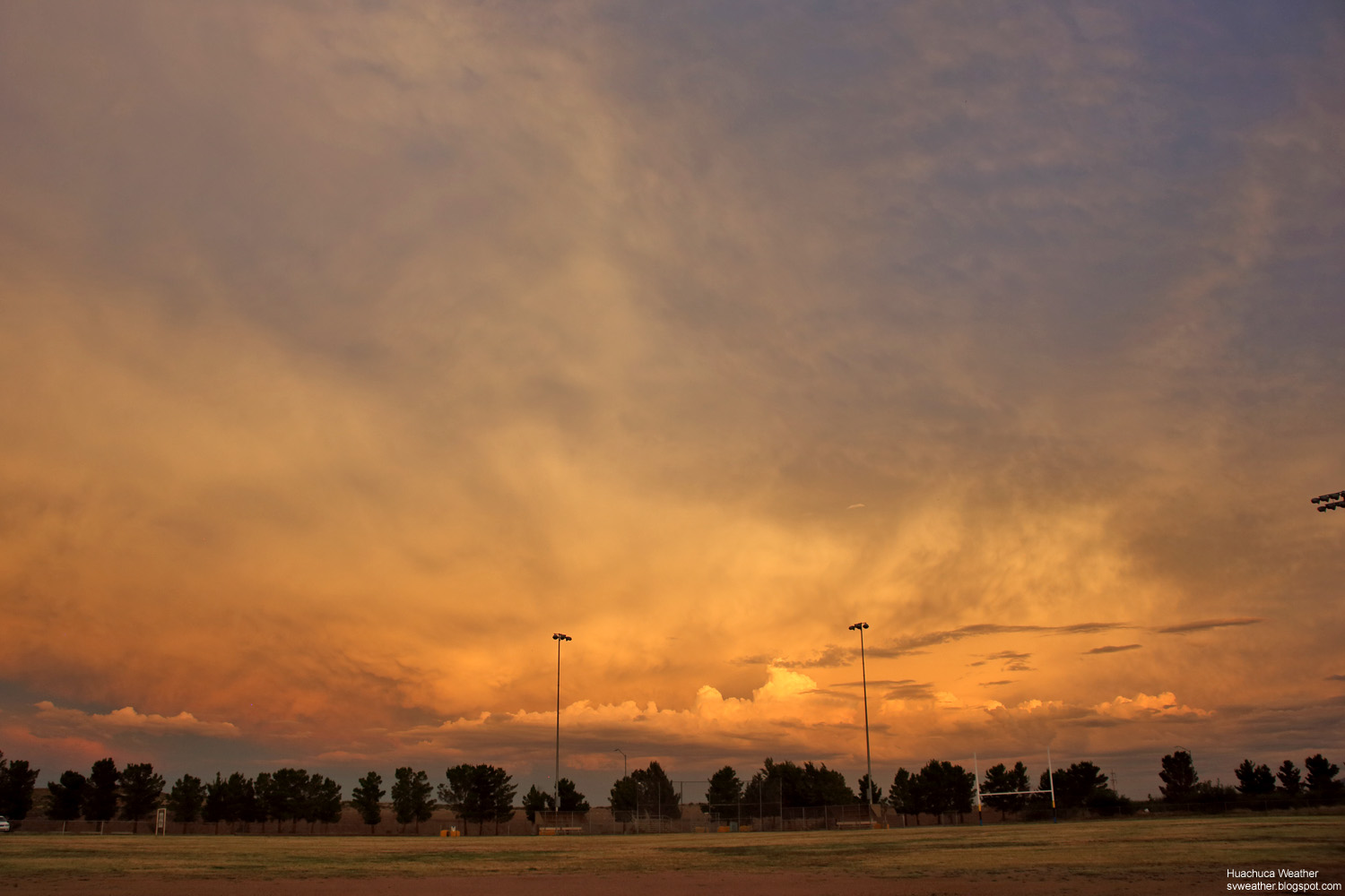
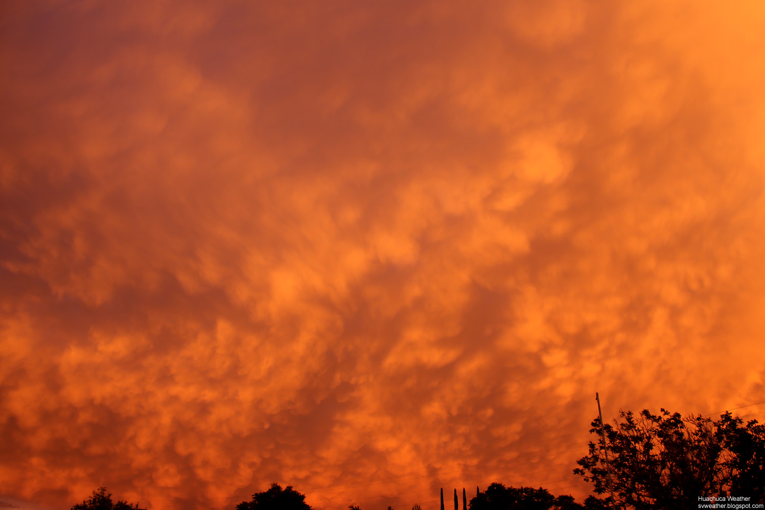
| 7:33PM, Amazing sunset over Huachuca City |
7:33PM, Amazing sunset over Huachuca City |
 |
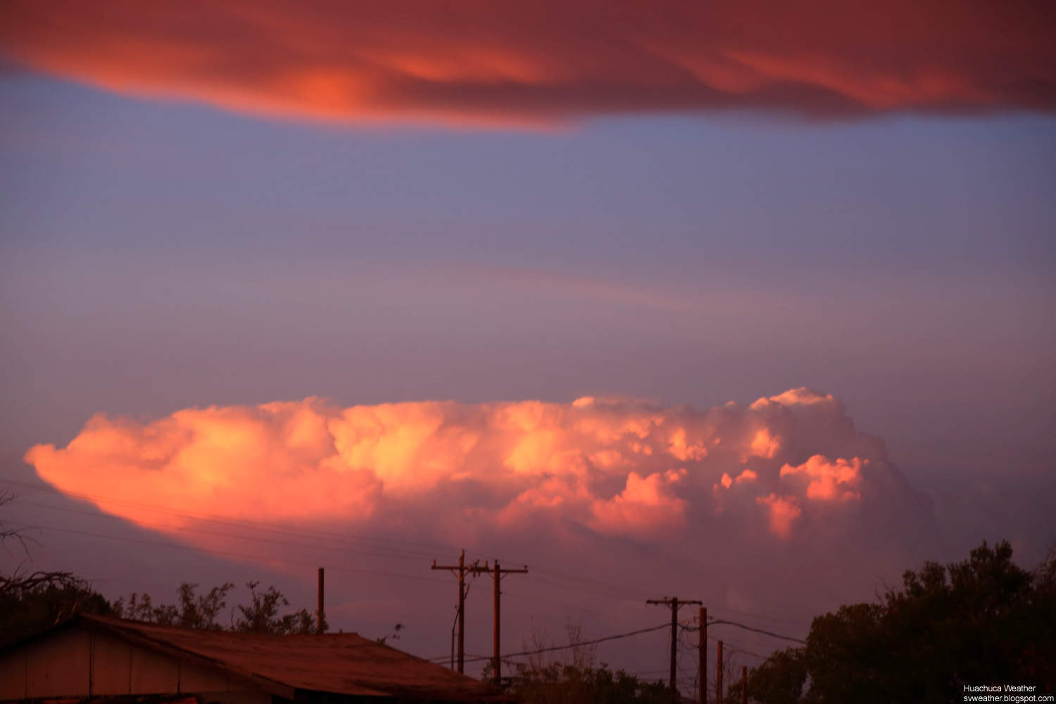 |
| 7:38PM, Sunset of Arizona. |
7:38PM, Thunderstorm at sunset. Looking far northeast from Huachuca City. (Probably Willcox area) |

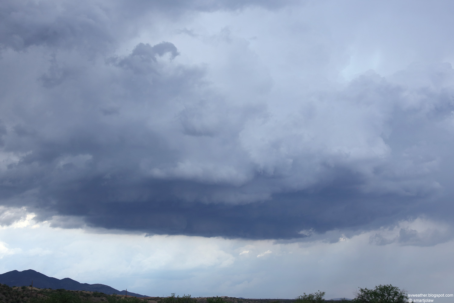
3:08PM, Storm northeast of Huachuca City. Slow rotation in the updraft and producing pea size hails. |
|
 |
 |
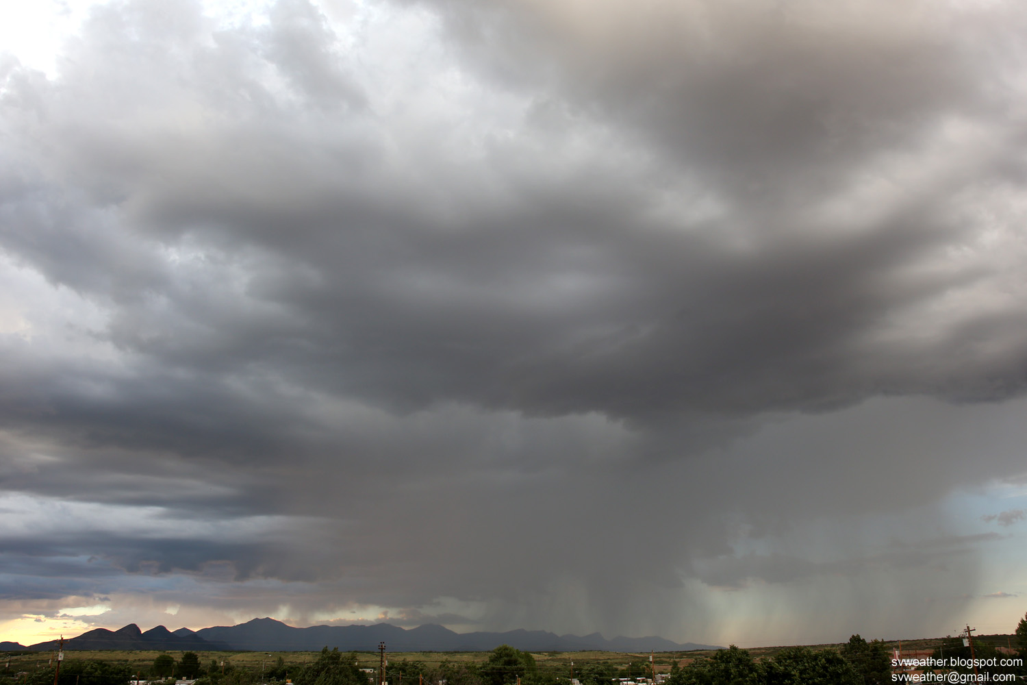
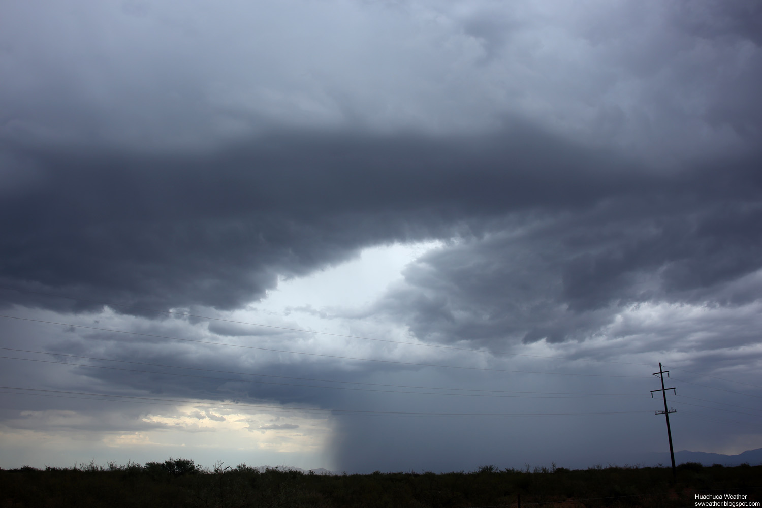
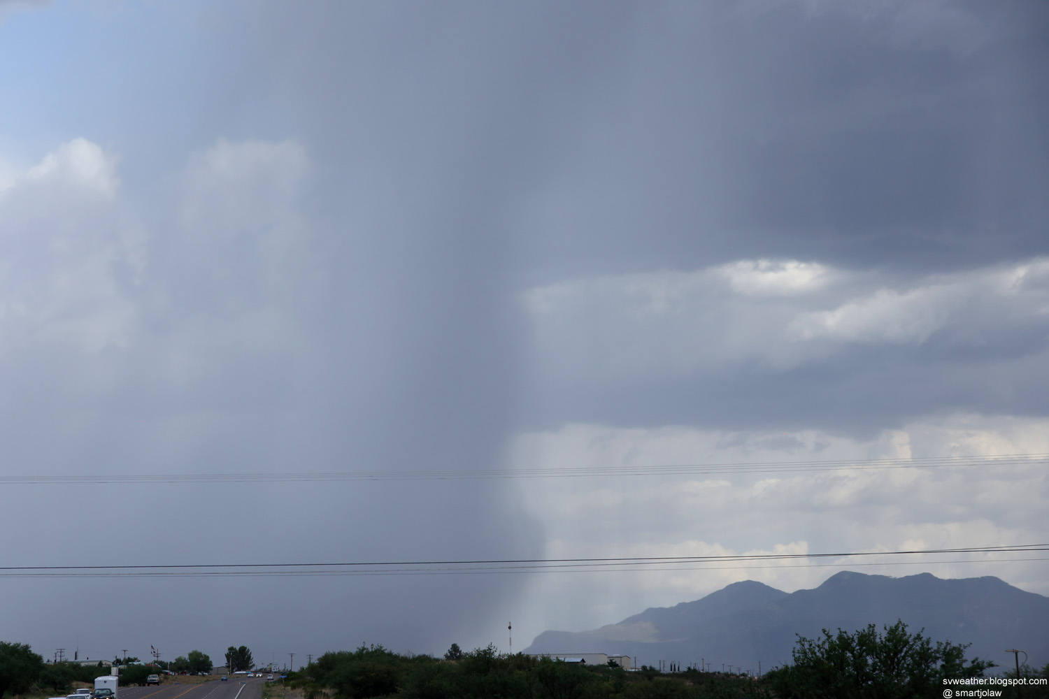
| 3:22PM, Storm moved to southwest of Whetstone. Produced lot of small hails between Whetstone and Huachuca City. | 3:34PM, New base developing south of the precipitation. |
 |
 |
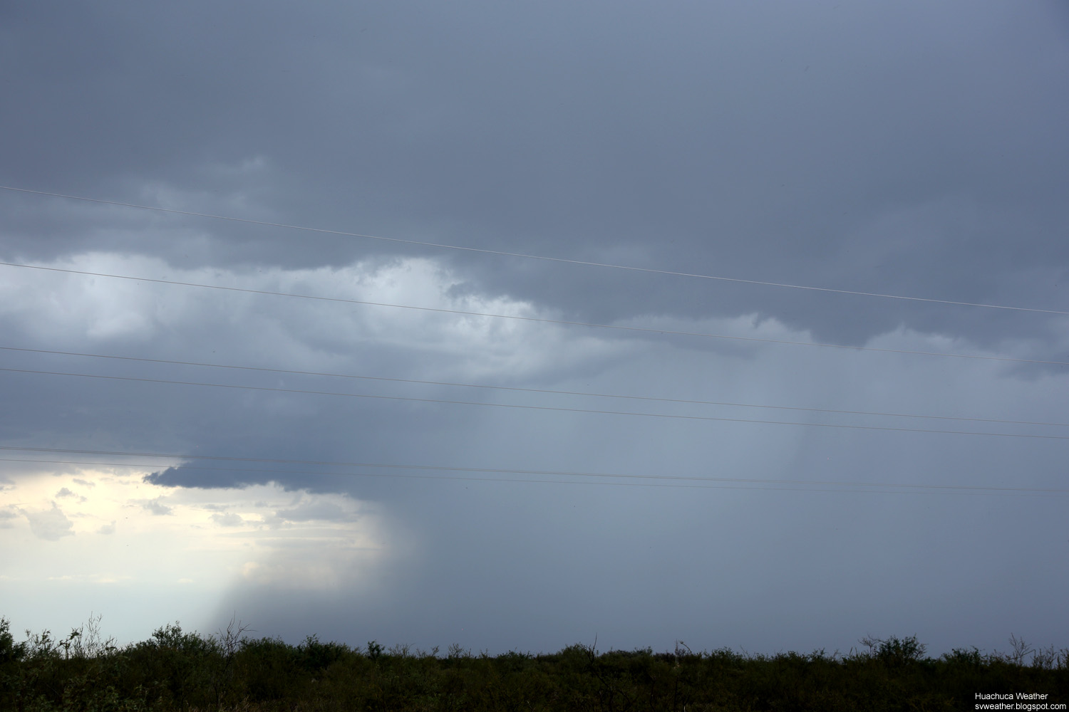
| 3:37PM, New base developing south of the precipitation. | 3:41PM, Produced heavy rain in Canelo at the time. |
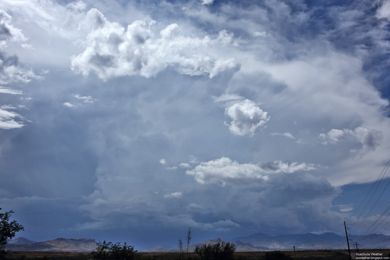
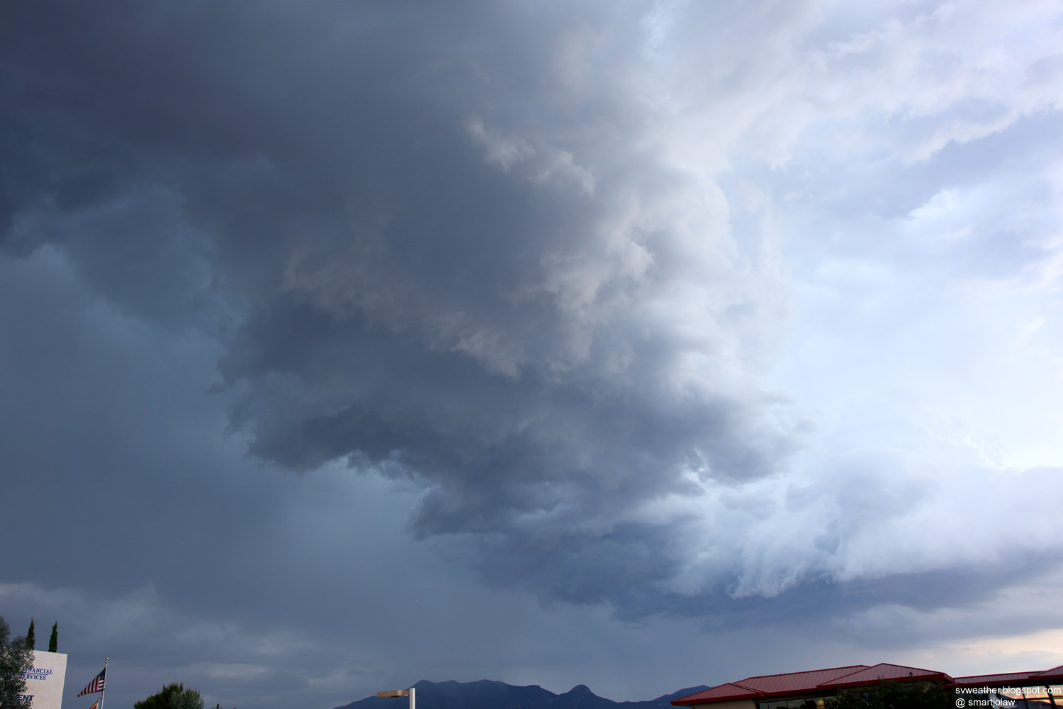
3:22PM, A storm getting stronger over eastern part of Sierra Vista. |
|
 |
 |
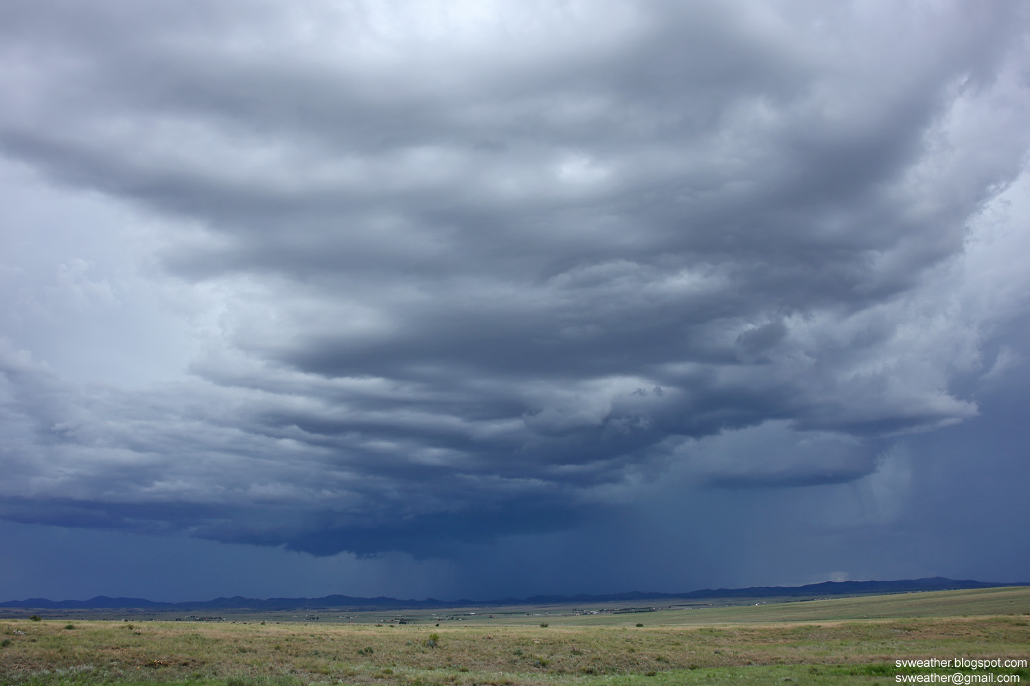
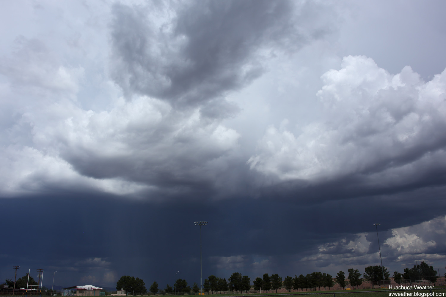
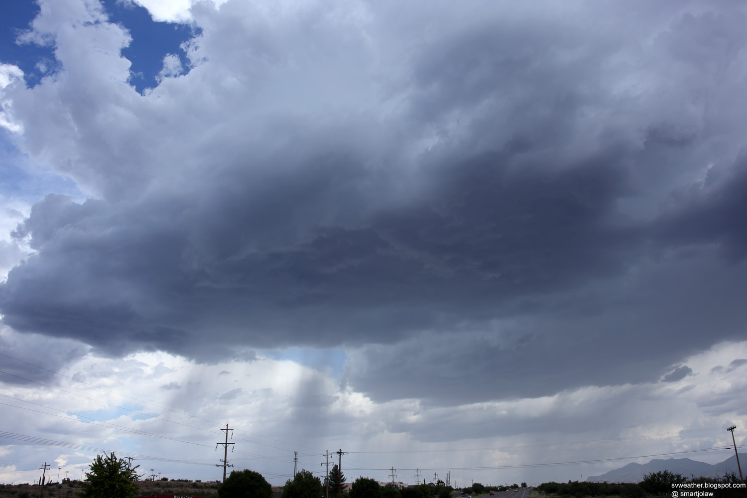
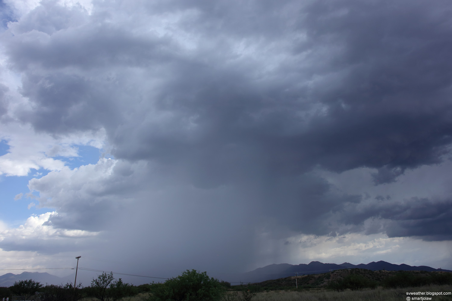
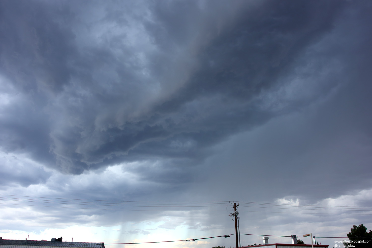
| 3:34PM, wide storm base forming over Sierra Vista. |
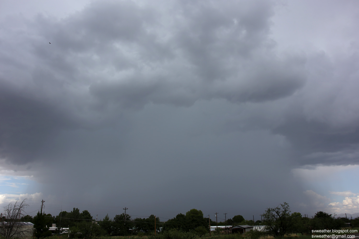
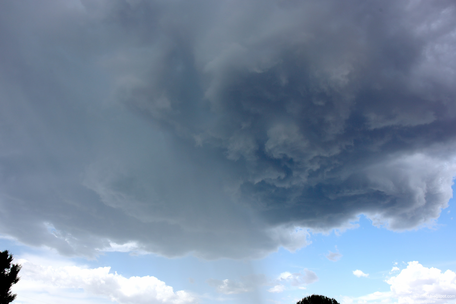
3:41PM, Storm base and downpour over Sierra Vista. |
 |
 |
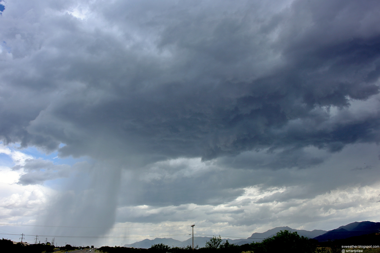
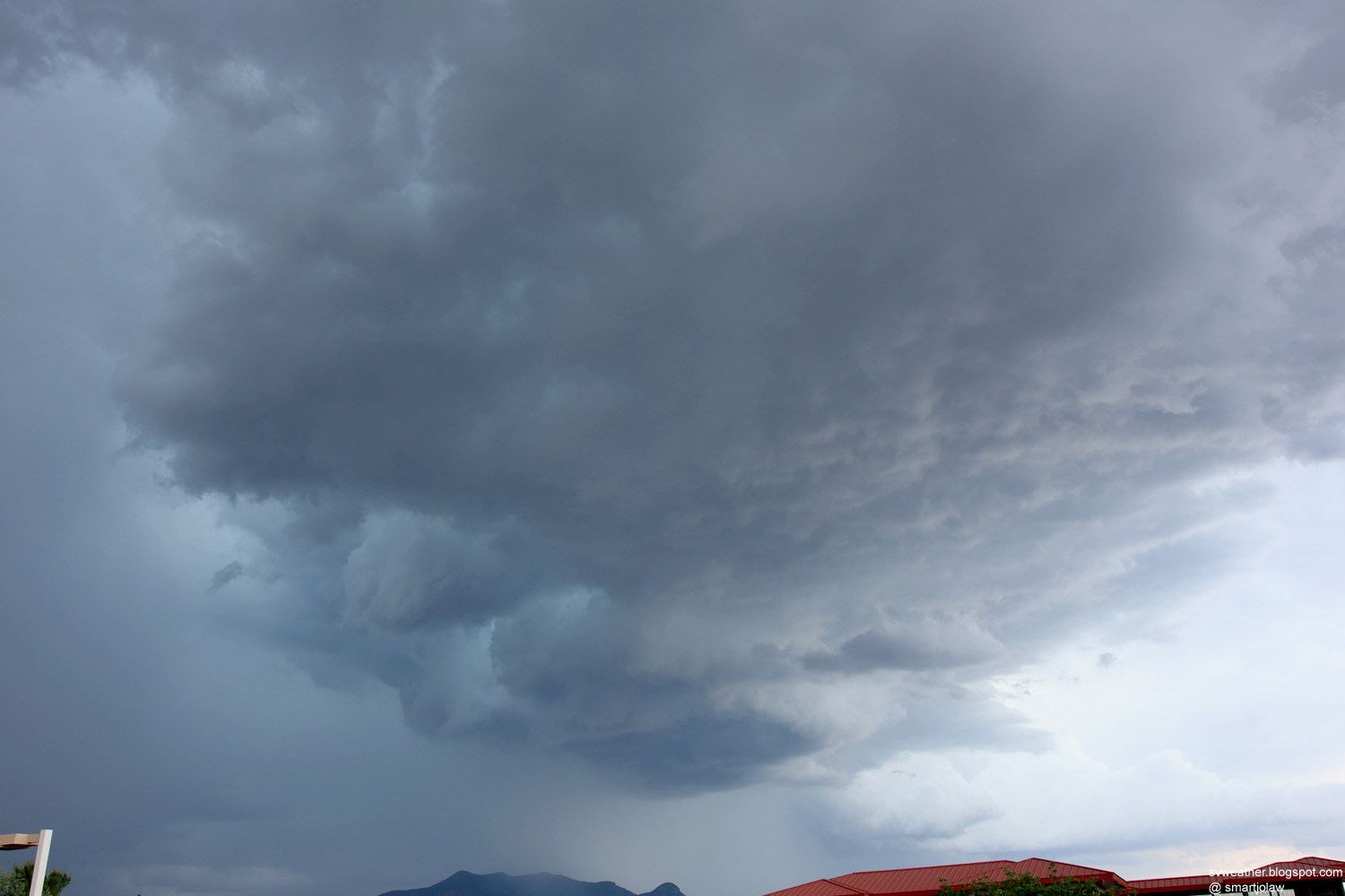
| 3:42PM, Downpour in Sierra Vista. |
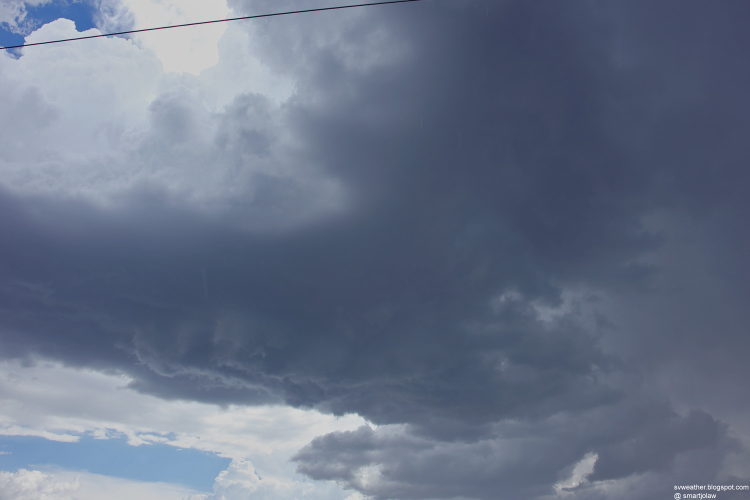
3:47PM, Storm moved into Ft. Huachuca. |
 |
|
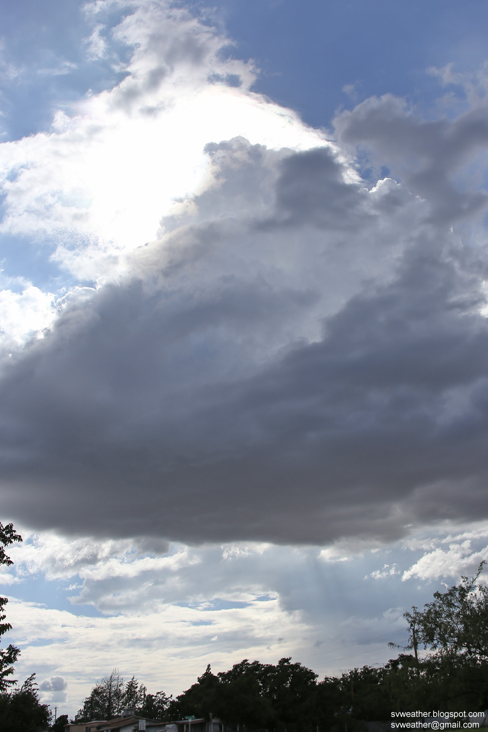
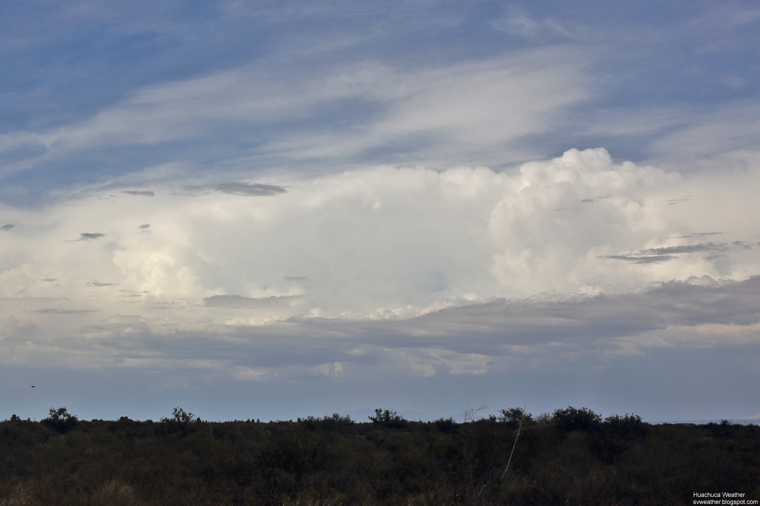
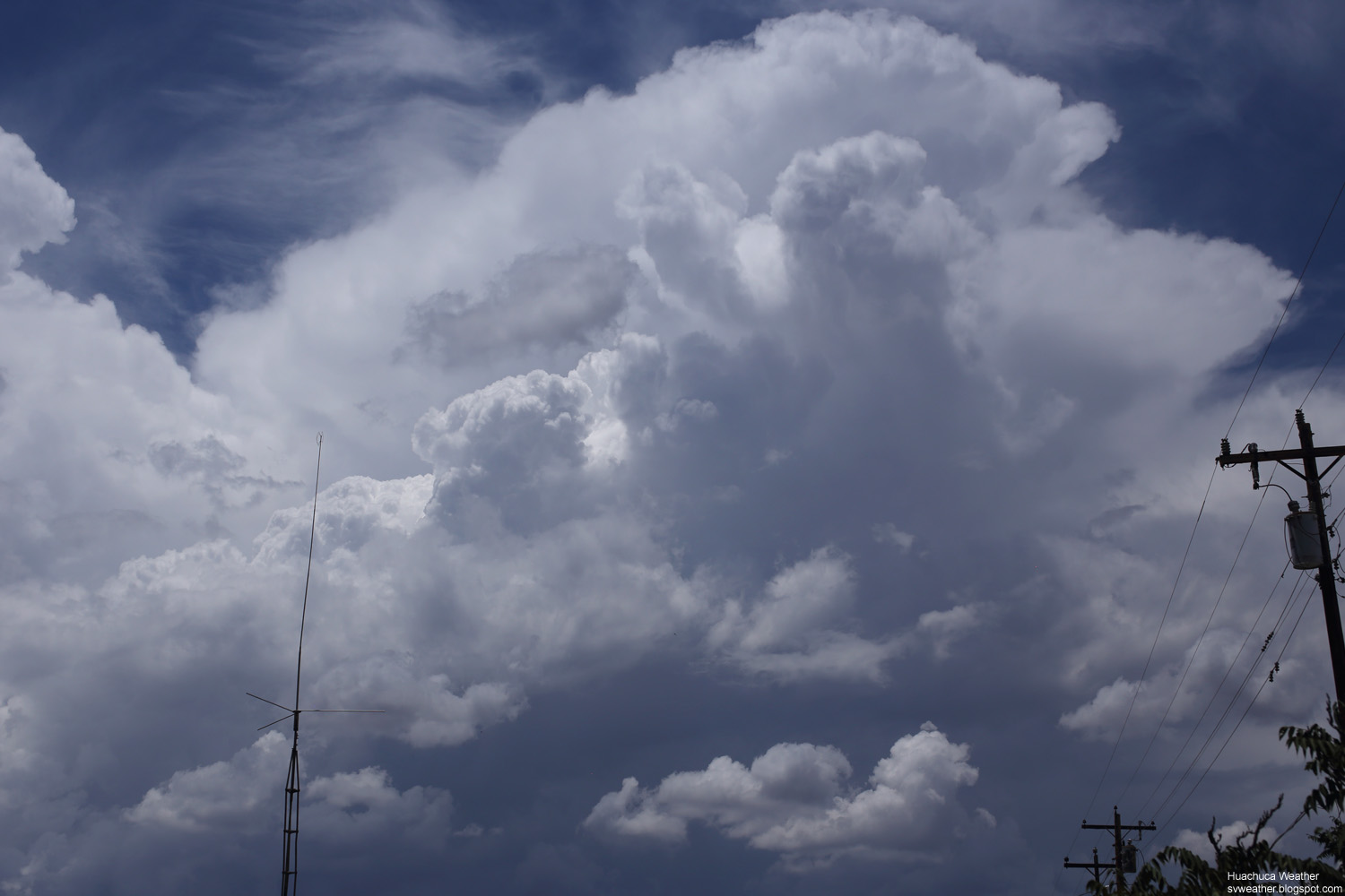
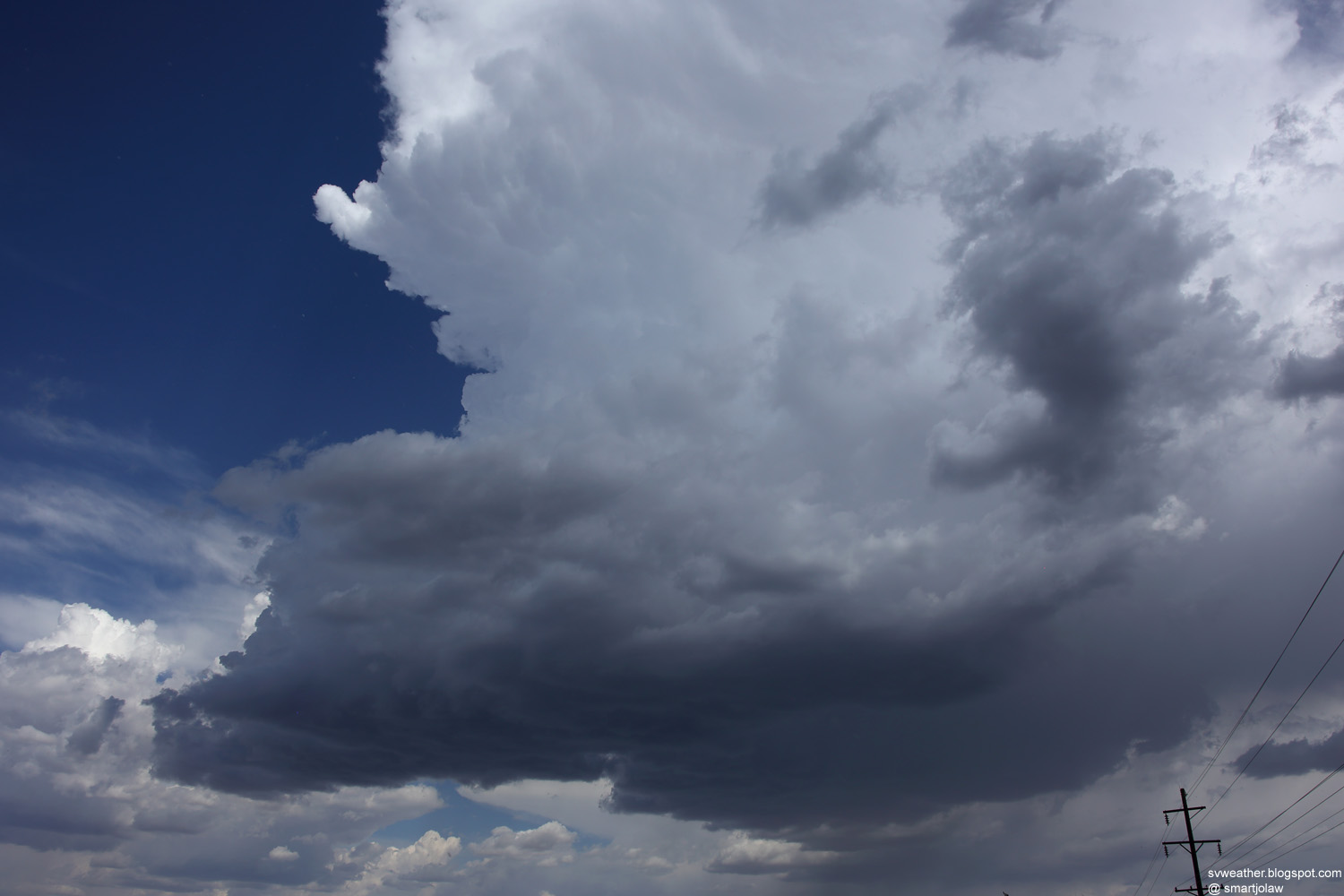
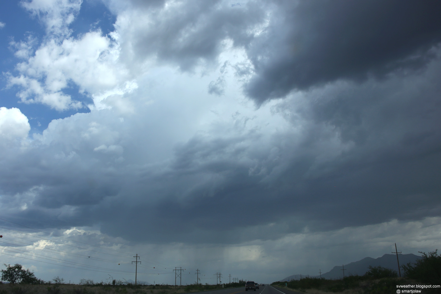
| 3:51PM, Anvil of the storms. | |
 |
 |
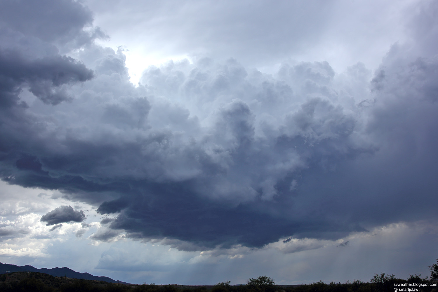
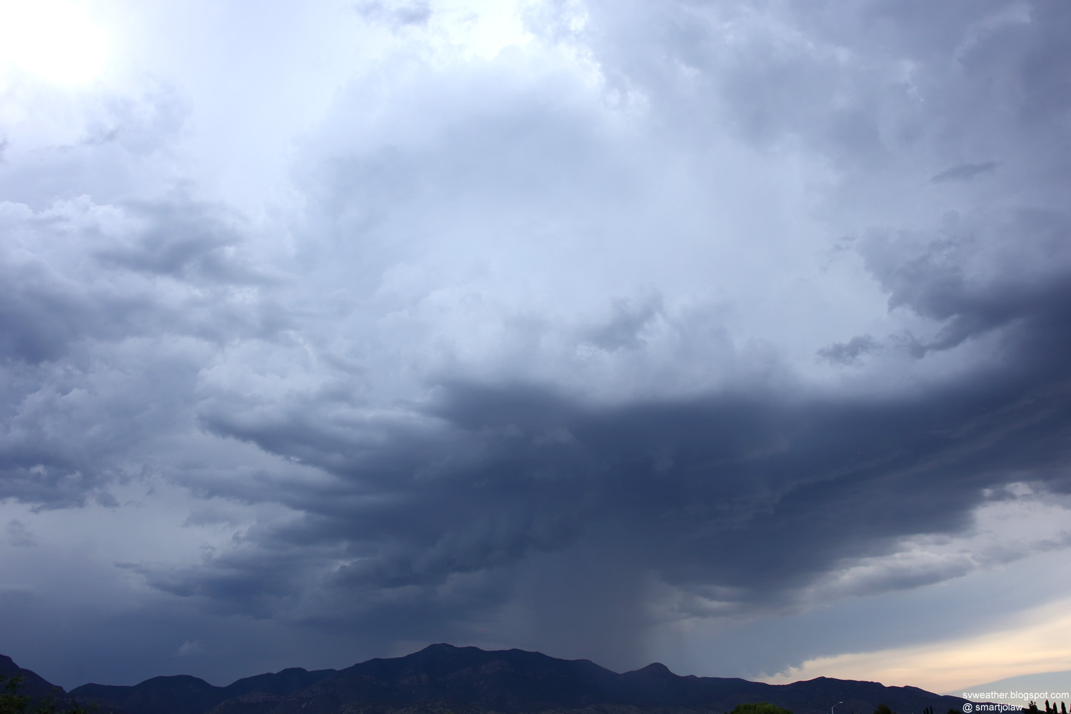
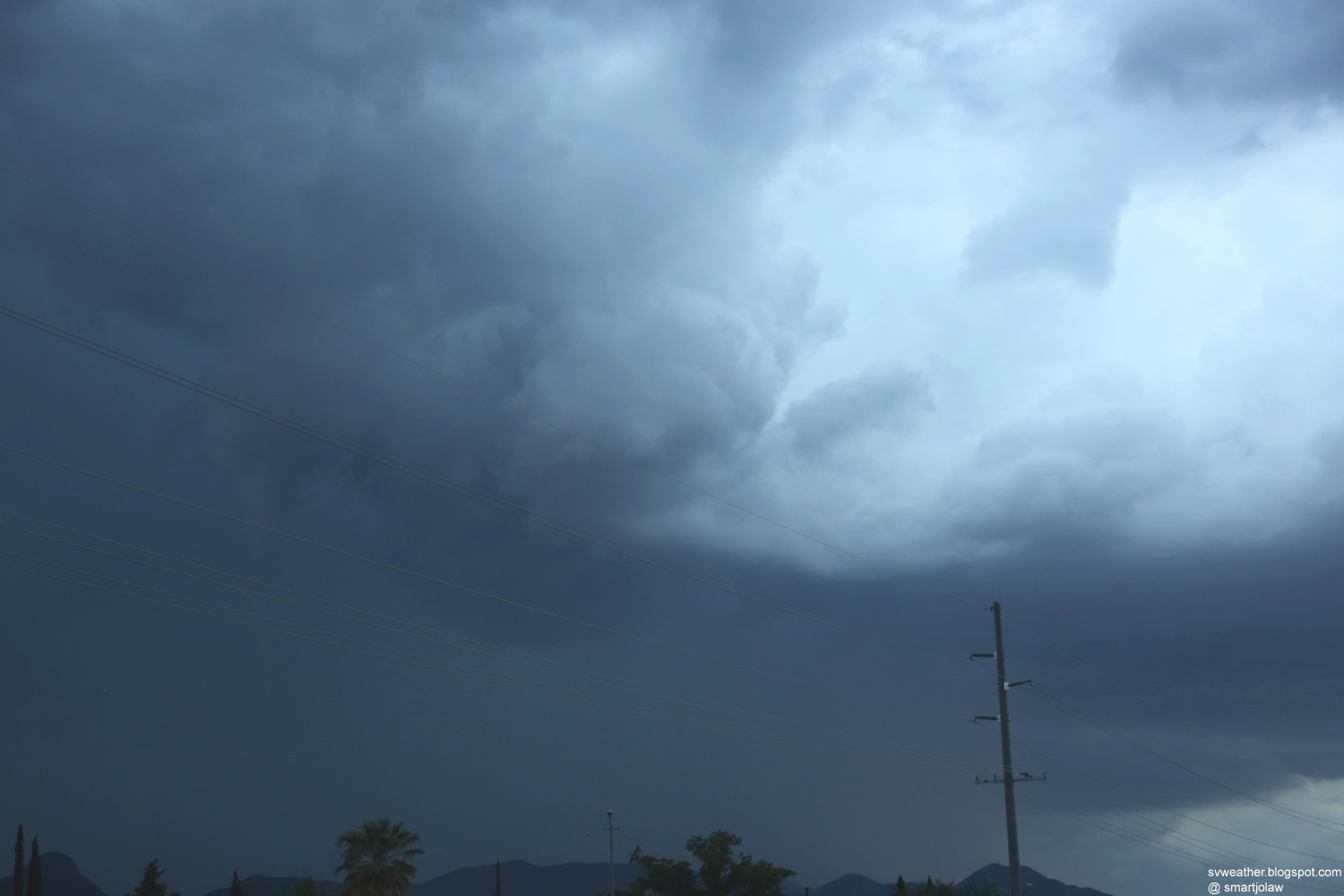
| 4:07PM, Storm in Nicksville. |
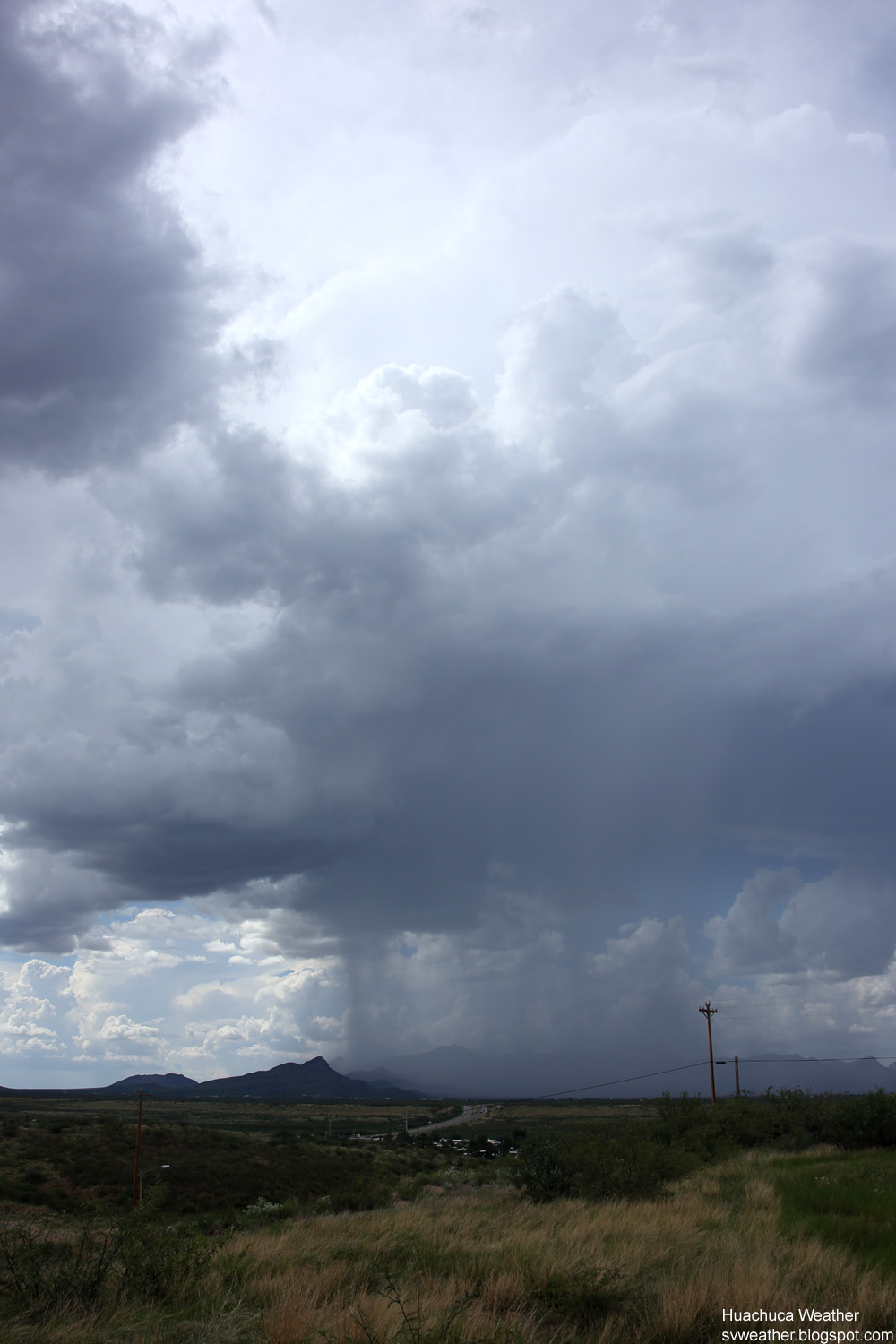
4:21PM, Raining on Huachuca Mountains. South of Sierra Vista. |
 |
|
| 4:44PM, Series of storms moving away from Sierra Vista. |
 |
 |
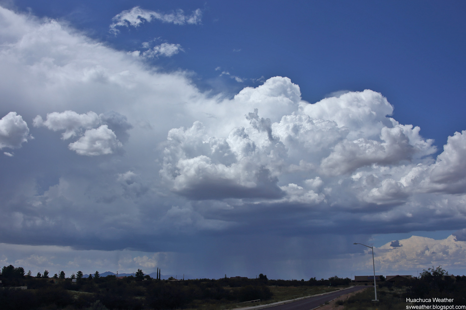
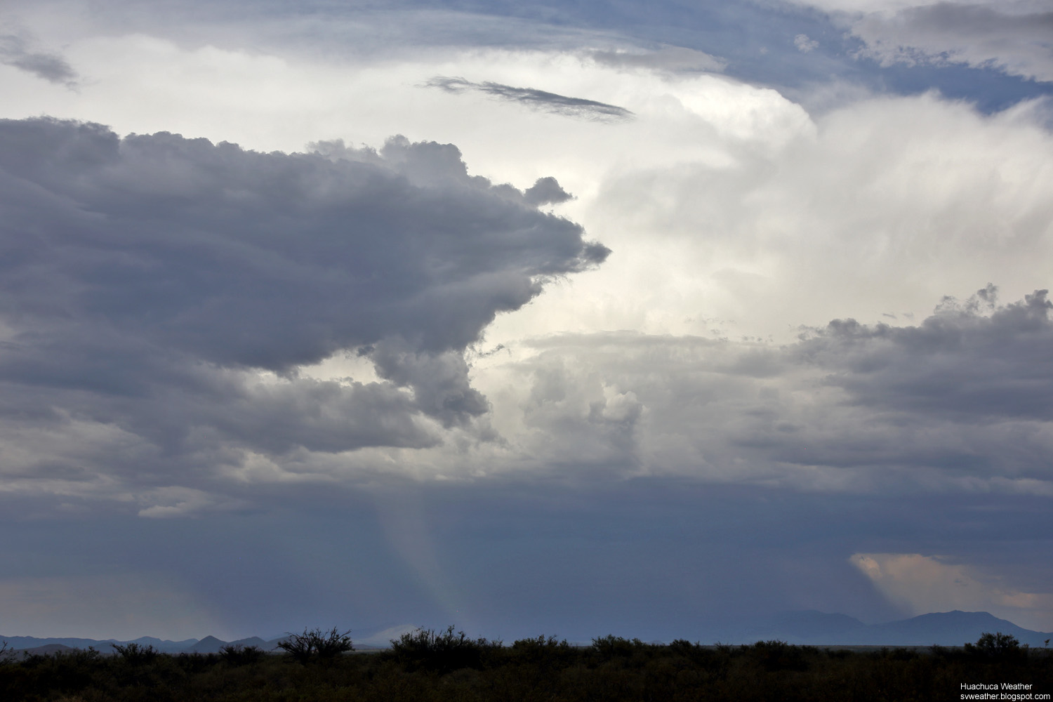
| 4:29PM, Overshooting top of the storm east of Oracle. | 4:43PM, Strong thunderstorms on Catalina Mountains north of Tucson. |
 |
 |
| 4:40PM, Storm south of Tombstone. View from Sierra Vista. |
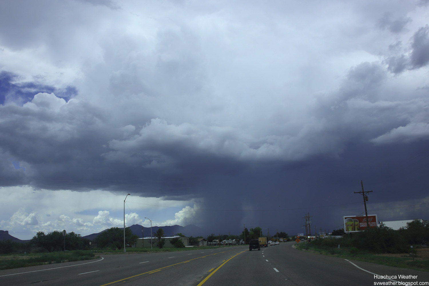
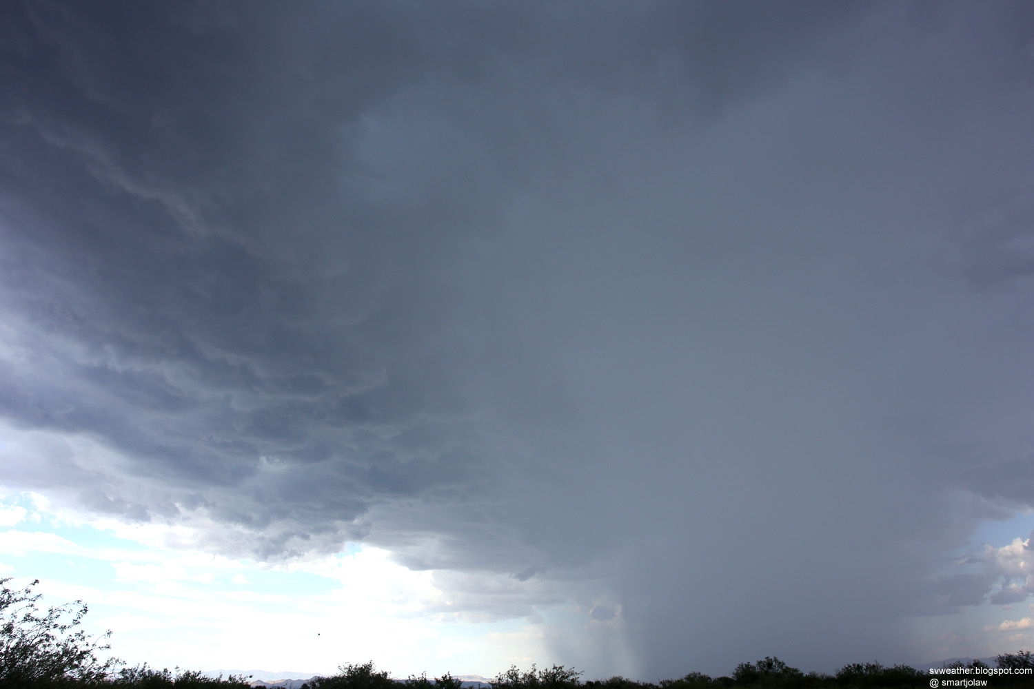
5:00PM, Storm moves fast toward Sierra Vista and rapidly developing storms over the town. |
 |
 |
| 5:06PM, Heavy downpour just east of Sierra Vista. Hail and damaging winds are happening. |
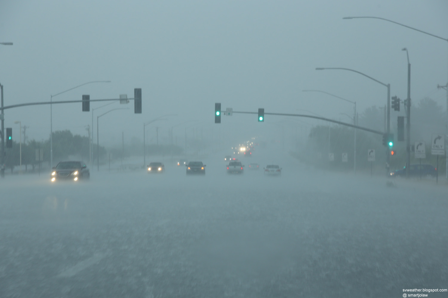
5:23PM, Heavy rain in Sierra Vista. Highway 90 at Food City. |

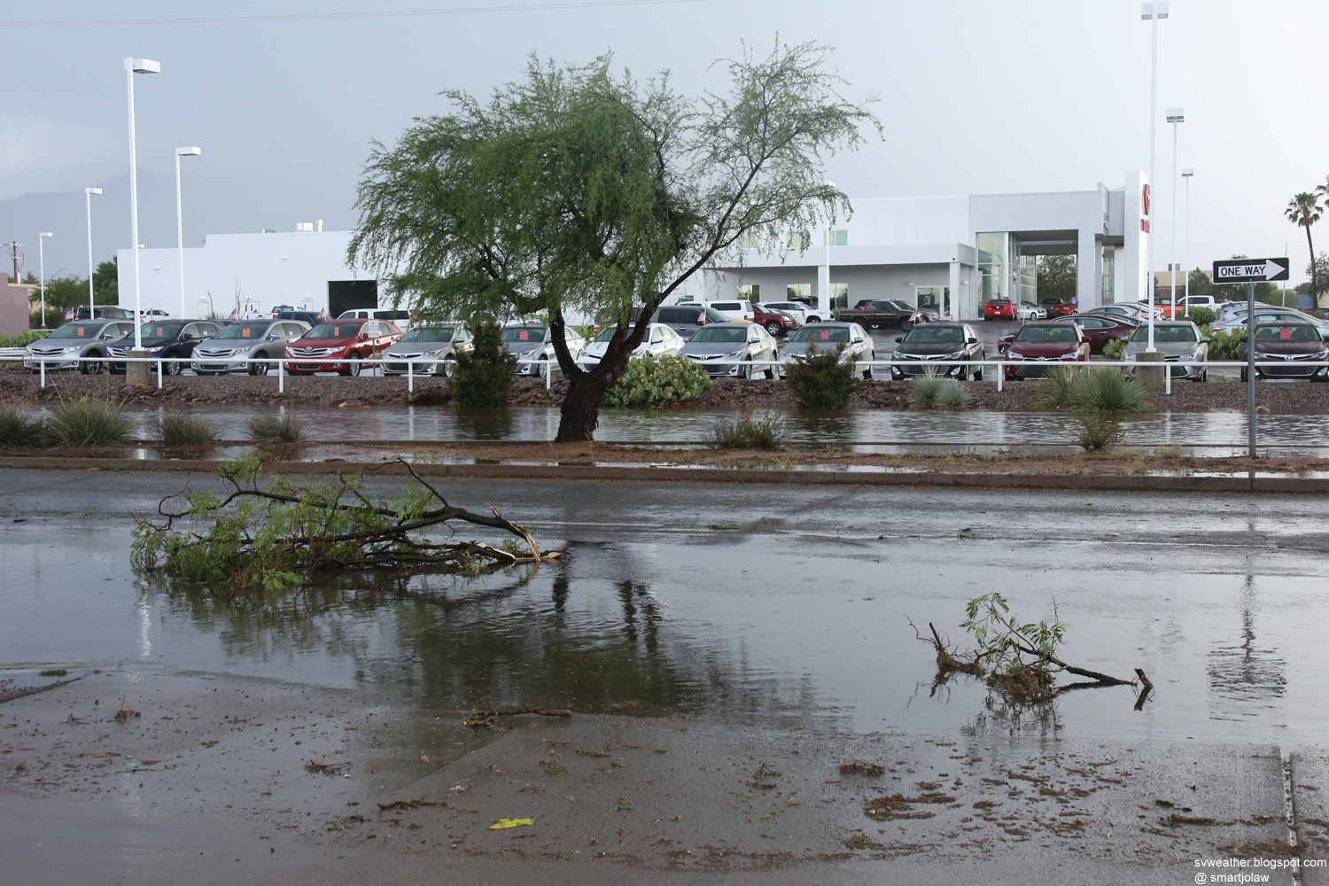
5:32PM, Downed tree block right lane, west bound, Fry Blvd near El Camino Real in Sierra Vista. Small hails were falling at the time. Thank you officer! |
|
 |
 |
| 5:36PM, Broken tree branches on El Camino Real in Sierra Vista. | 5:43PM, Departing storm west of Sierra Vista. |
 |
 |
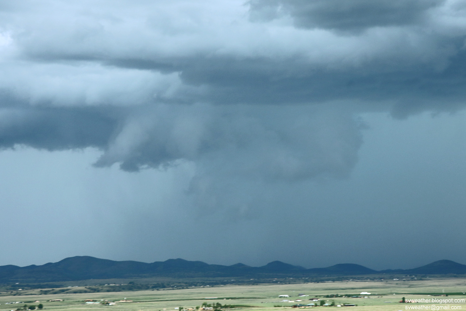
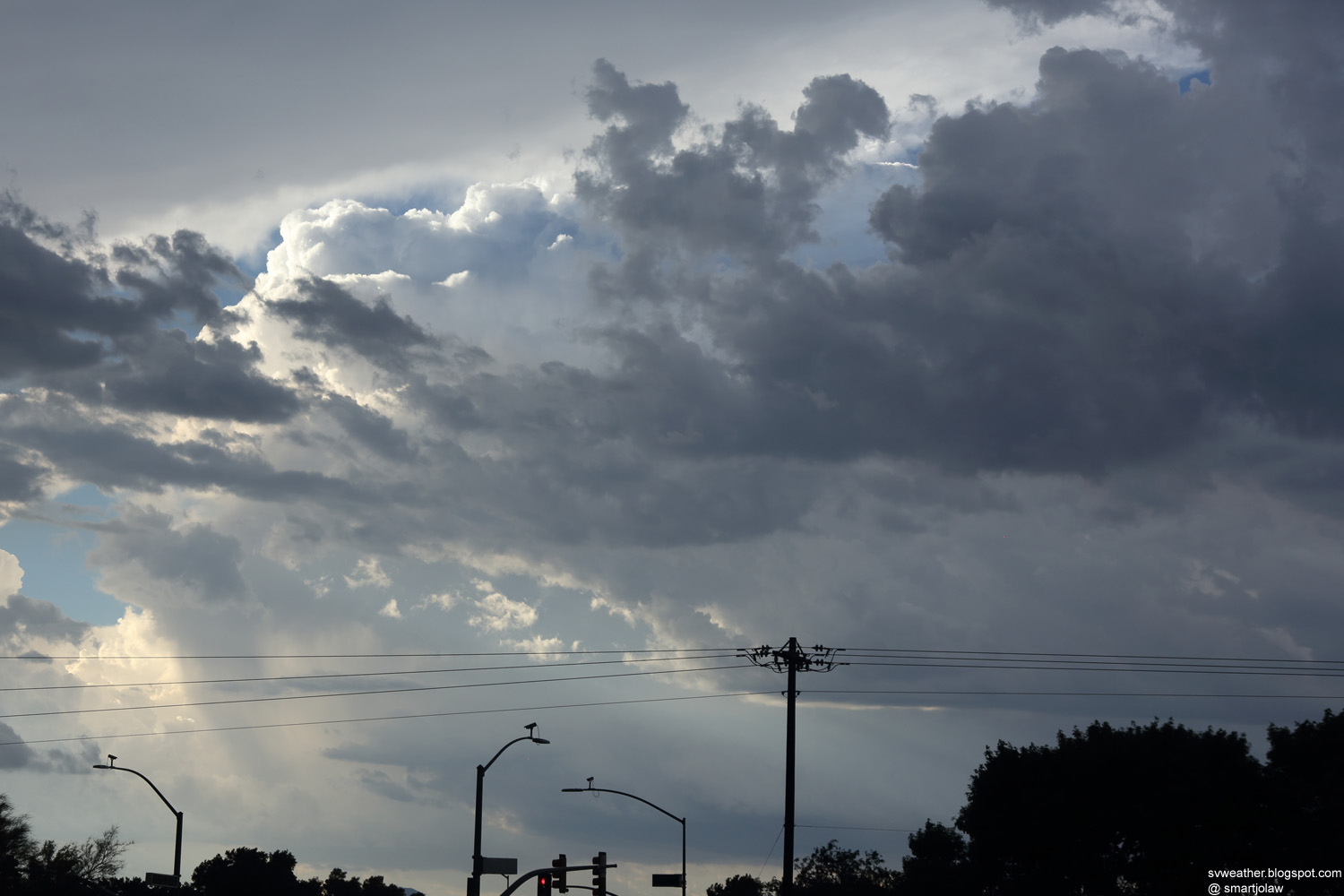
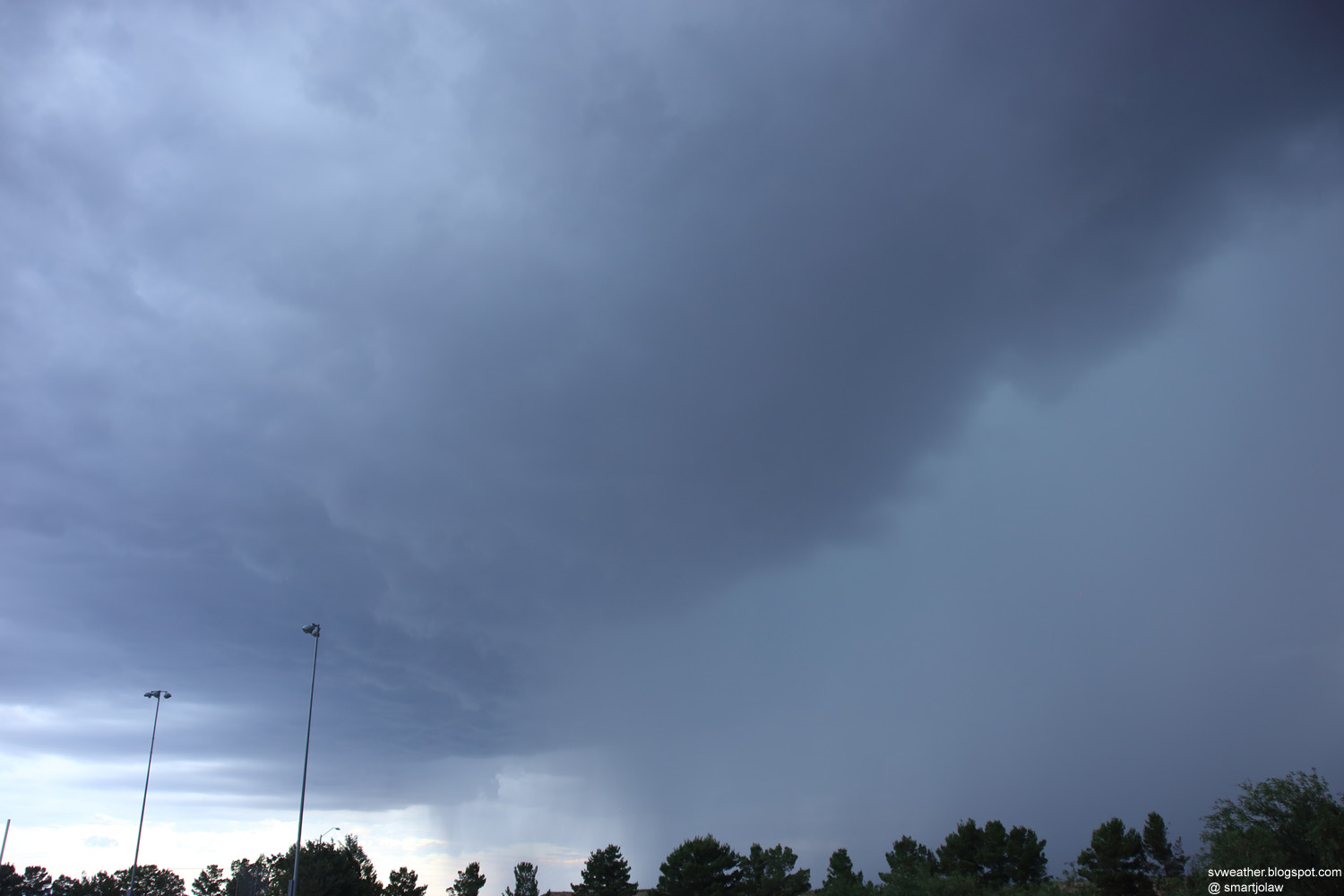
| 5:56PM, Another series of storms moving into Sierra Vista. |
6:04PM, Circulation over Sierra Vista. Possible small funnel cloud. |
 |
 |
| 6:06PM, Lot of motion and circulation in the storm. Sierra Vista. |
6:23PM, A possible rotating wall cloud west of Sierra Vista, AZ |
 |
|
| 6:46PM, Still there is slow rotation in the updraft. Sierra Vista. |
 |
 |
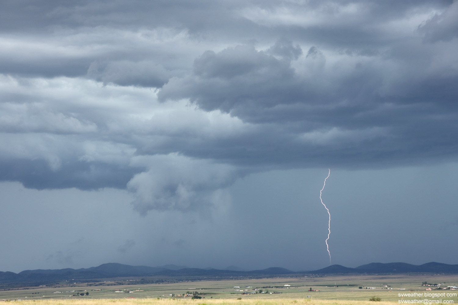
| 6:48PM, Early time of the tornado warned storm, northeast of Sierra Vista. |
6:59PM, Storming moving toward Huachuca City. Lot of cloud-to-ground lightnings. |
 |
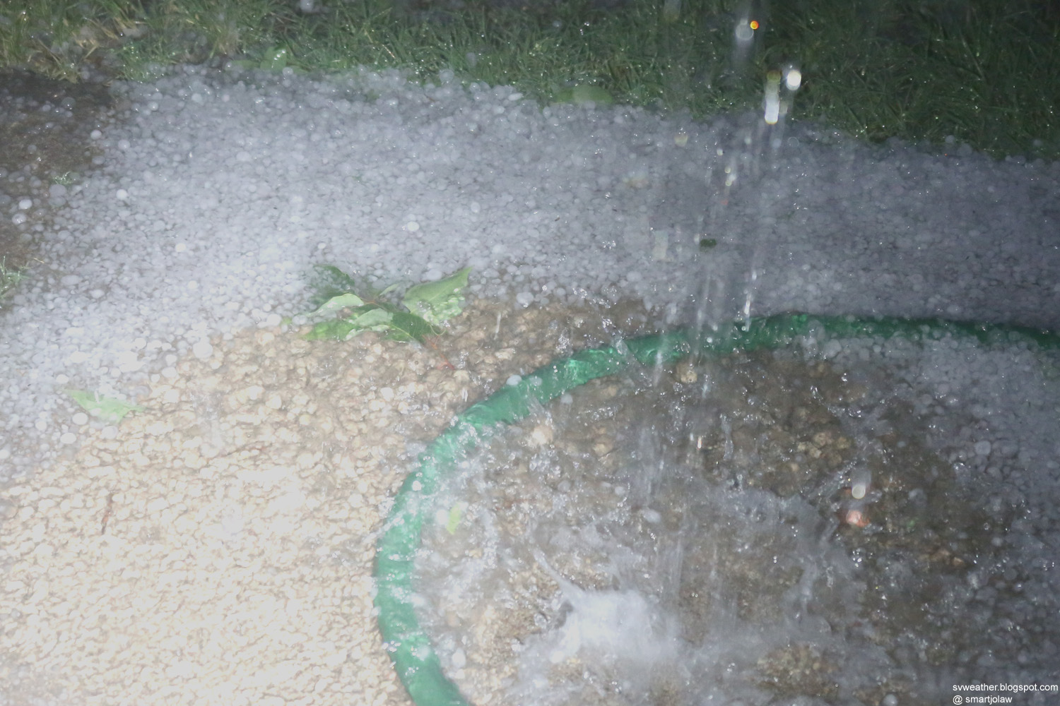 |
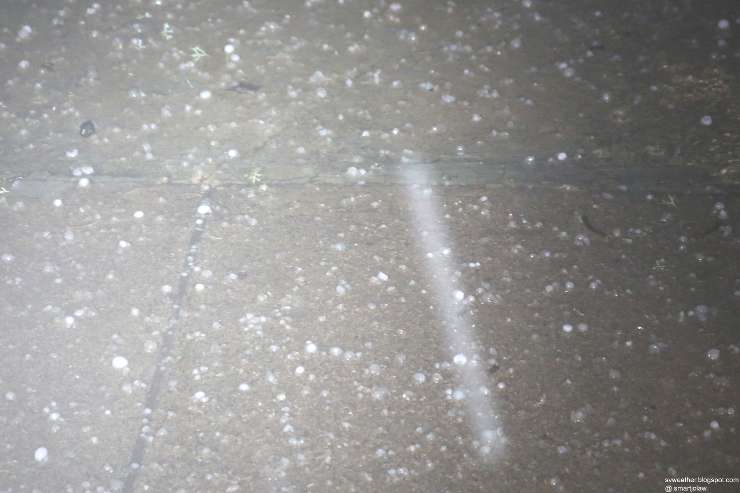
| 7:26PM, Nickel size hail falling in Huachuca City. |
7:26PM, Hail accumulation. |
 |
|
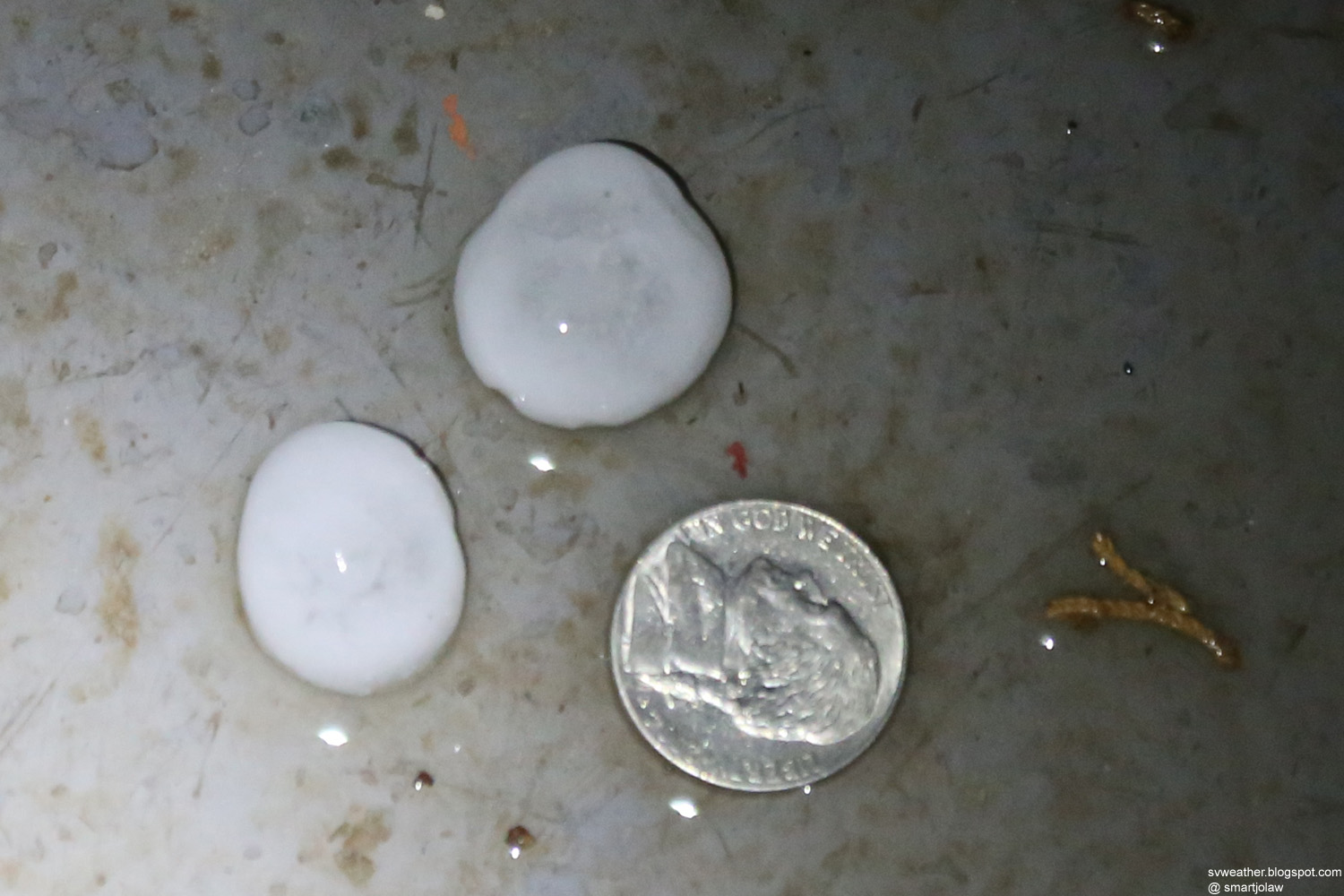
| 7:32PM, Nickel size hail in Huachuca City. | |
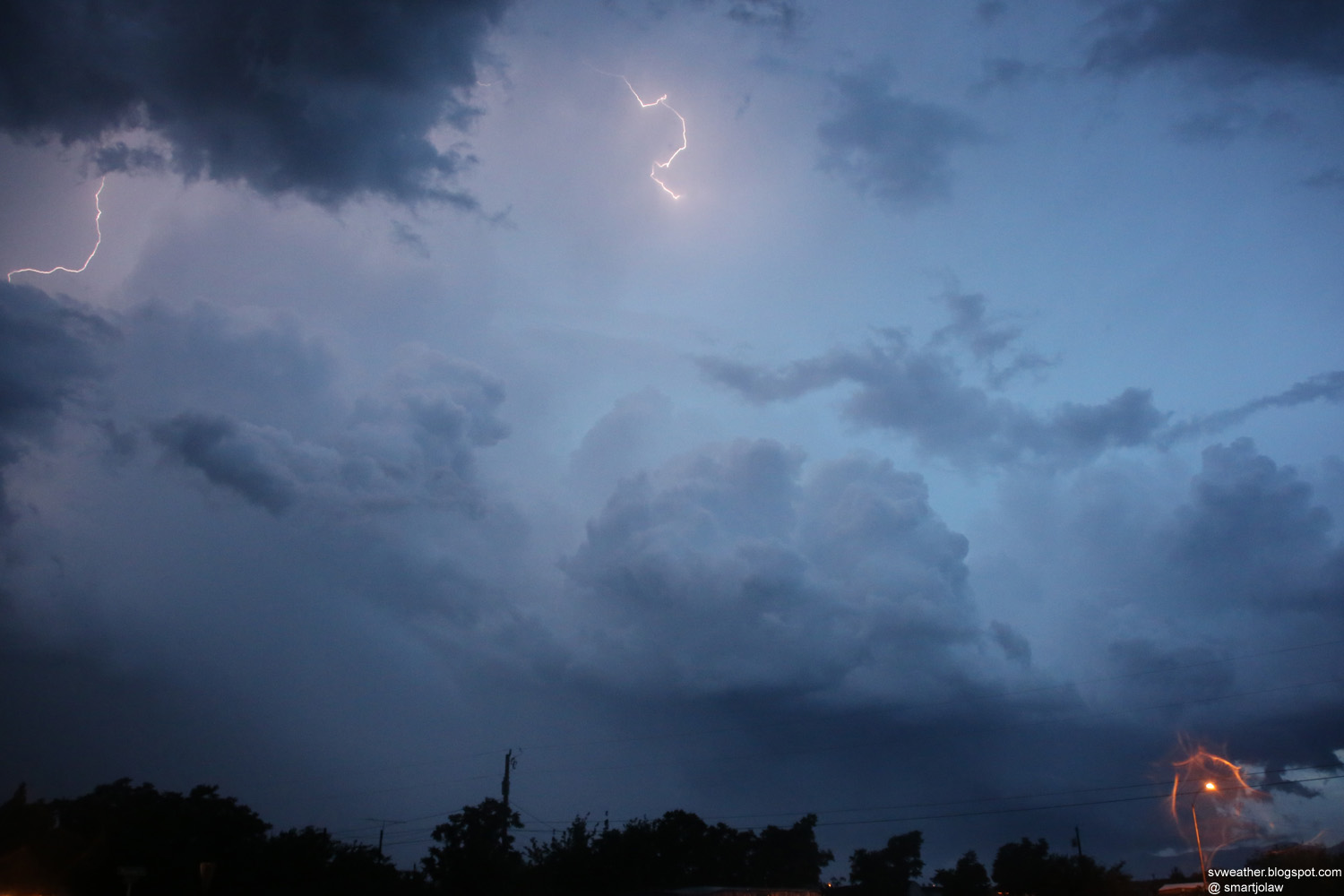
7:46PM, Frequent lightning in the leaving storm. Tornado warning was issued for 7:34 to 7:45. |
|