Friday, December 26, 2014

Christmas Day Blowing Dust near Willcox, AZ

On December 25th, 2014, high wind caused blowing dust condition and reduced visibility near Willcox, AZ. Dust from Willcox Dry Lake moved to east and visibility on Kansas Settlement Rd. reduced as low as 300 feet.


Looking from I-10.                                                    Looking from I-10.


Looking from highway 191.                                      Willcox Dry Lake at highway 191.


Looking northeast from Birch Road.                       Heading north on Kansas Settlement Road.


Kansas Settlement Road.                                       Kansas Settlement Road.


Kansas Settlement Road.                                       Looking east on highway 186, southeast of Willcox, AZ

Monday, December 15, 2014

Hurricane Odile September 15th~18th, 2014

September 15th, 2014

First band of cirrus cloud from Hurricane Odile covers Sierra Vista.

September 16th, 2014

Raining on Mustang Mountains. Looking from Huachuca City, AZ.

September 17th, 2014

Heavy rain at Sierra Vista Mall around 1AM September 17th, 2014. Hereford received 3.07 inches of rain.

September 18th, 2014

Carr Canyon Road Closed.                                        Highway 92 near Ramsey Road.


Rainbow at Hereford, AZ                                          Raining in Garden Canyon (Huachuca Mountains)

On September 18th, Hereford received additional 0.98" of rain from a series of wet storms moved down from Huachuca Mountains.

September 17th Video

Saturday, December 13, 2014

September Storms - End of Monsoon Season

September 13, 2014.

Looking far west from Huachuca City, AZ. The storms were near from Sells, AZ.


September 14, 2014

A weak storm in Santa Cruz county just after sunset. Looking from Huachua City, AZ. One day before Hurricane Odile event.

September 6th, 2014 Strong Storm North of Sierra Vista

A strong strom north of Sierra Vista. The storm produced lowering cloud with slow rotation. But, there was no funnel and rapidly transformed to normal storm front.

Looking northeast from hwy 90.
Looking north from intersection of hwy 90 and 7th st.
Looking north from intersection of hwy 90 and 7th street.
Driving toward Huachuca City. Looking east on hwy 90.
Storm produced about a half of inch of rain in Huachuca City.

Monday, September 8, 2014

Heavy rain in Sierra Vista area and Carr Canyon waterfall

The heaviest rain fell from the center of Sierra Vista to south of Tombstone. The radar data shows 1" to 1.5" of rainfall in the area. At my home, received 0.56" of rain and had street flooding due to a long period of rainy and cool weather. I'm always happy to see raining in this area, and much more if I can see waterfall in Carr Canyon! Just I hope nobody get in big trouble in this wet weather. Everyone stay away from running water, specially on Moson Road.

Overcast in morning with low level cloud in Huachuca Mountains.


Carr Canyon creek near parking lot. I met a gentleman there who told me the road condition and I was able to get closer to the waterfall. If he did not tell me that, I would miss the best view of today. I don't know neither his name and he might visit my blog, just I wanted to tell him "Thank you!".


Carr Canyon waterfall pictures.

Thursday, September 4, 2014

July 27, 2014 Another hail and heavy rain night

Hereford got another round of hail and heavy rain on July 27. A few storms developed in the area during daytime, and got intense in the evening hours. Around 7PM, a large anvil from Mexico covered southern sky and storms developed rapidly from Douglas to Huachuca Mountains. Measured 0.99" of rain with a few of 1/4" diameter hail in Hereford.


Sunday, July 27, 2014

July 26, Nighttime Hail Storm in Hereford, AZ

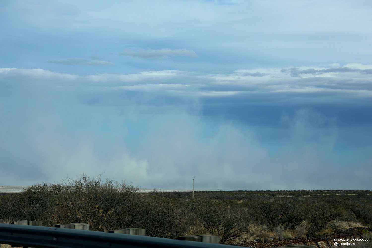
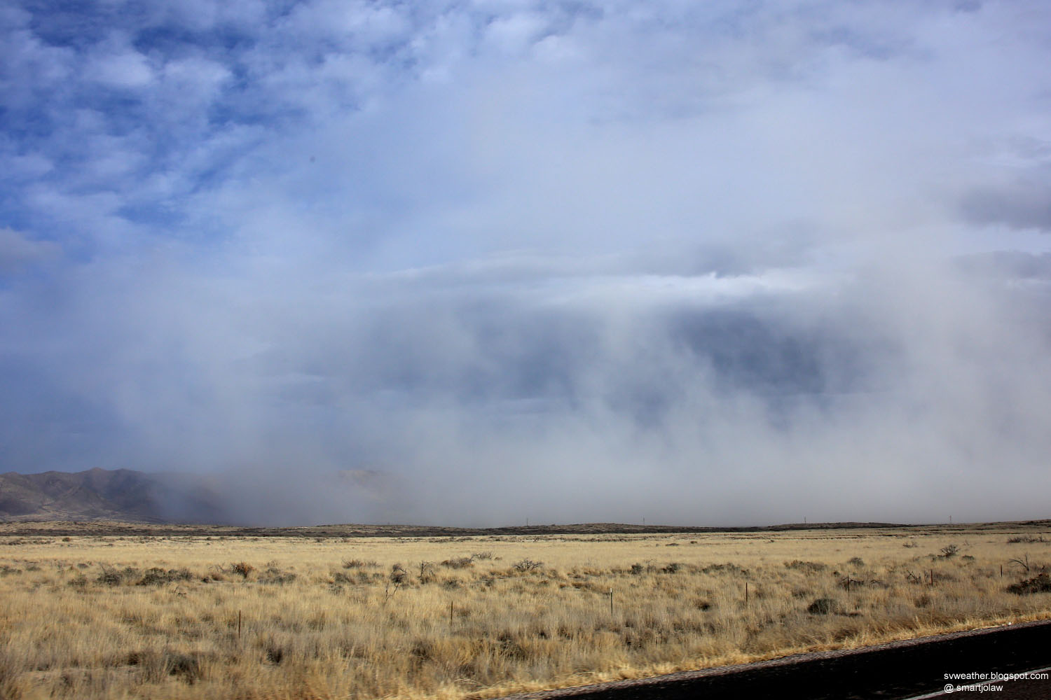
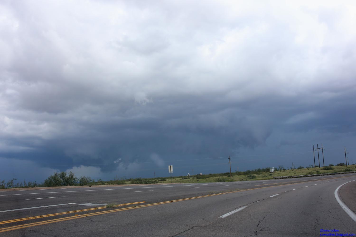
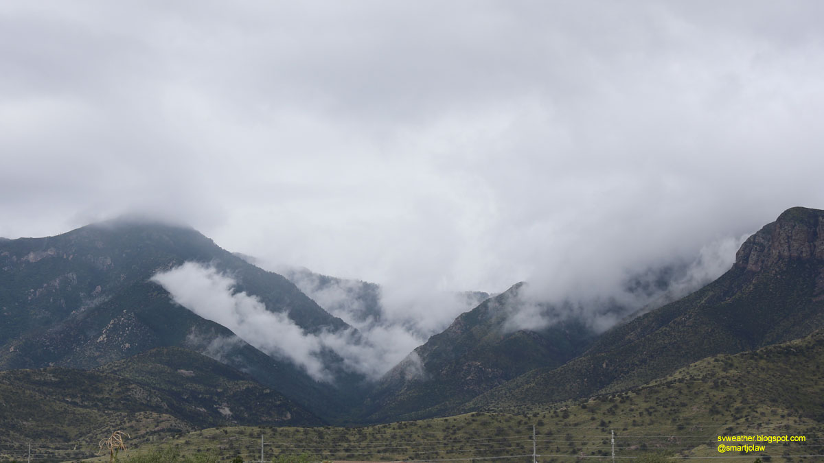
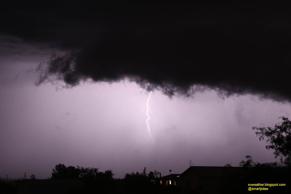
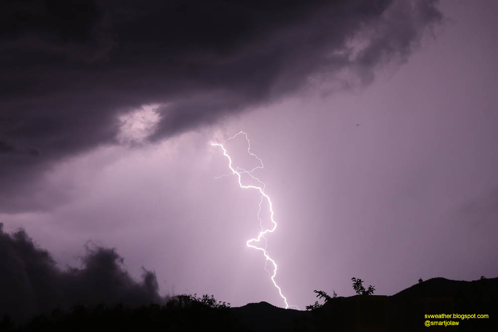
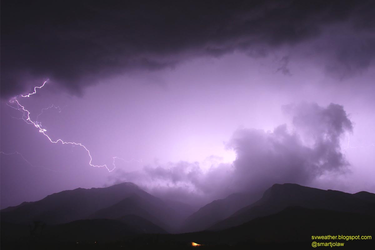
A strong thunderstorm developed on Chiricahua Mountains around 9PM and moved down to Sulphur Spring Valley with penny size hail. The storm produced ton of cloud-to-cloud lightnings and lot of cloud-to-ground lightnings too with strong updraft.


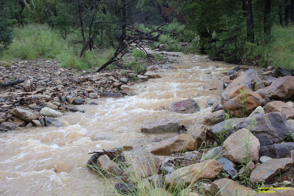
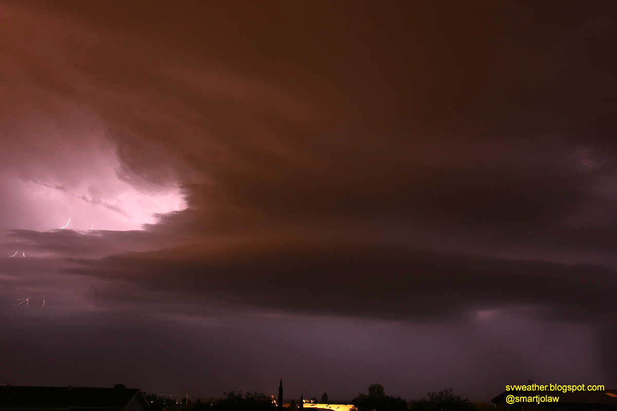
The storm was slightly weaken when passing north of Mule Mountains, but rapidly got stronger when moving down to San Pedro river and produce heavy rain and hail. I couldn't see any cloud-to-ground lightnings this time, but still lot of flashes in cloud.


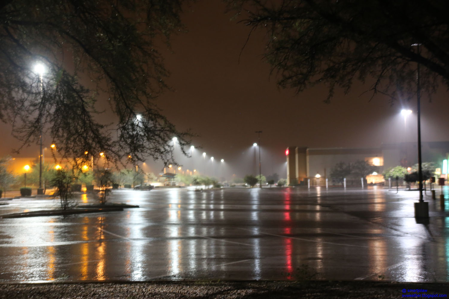
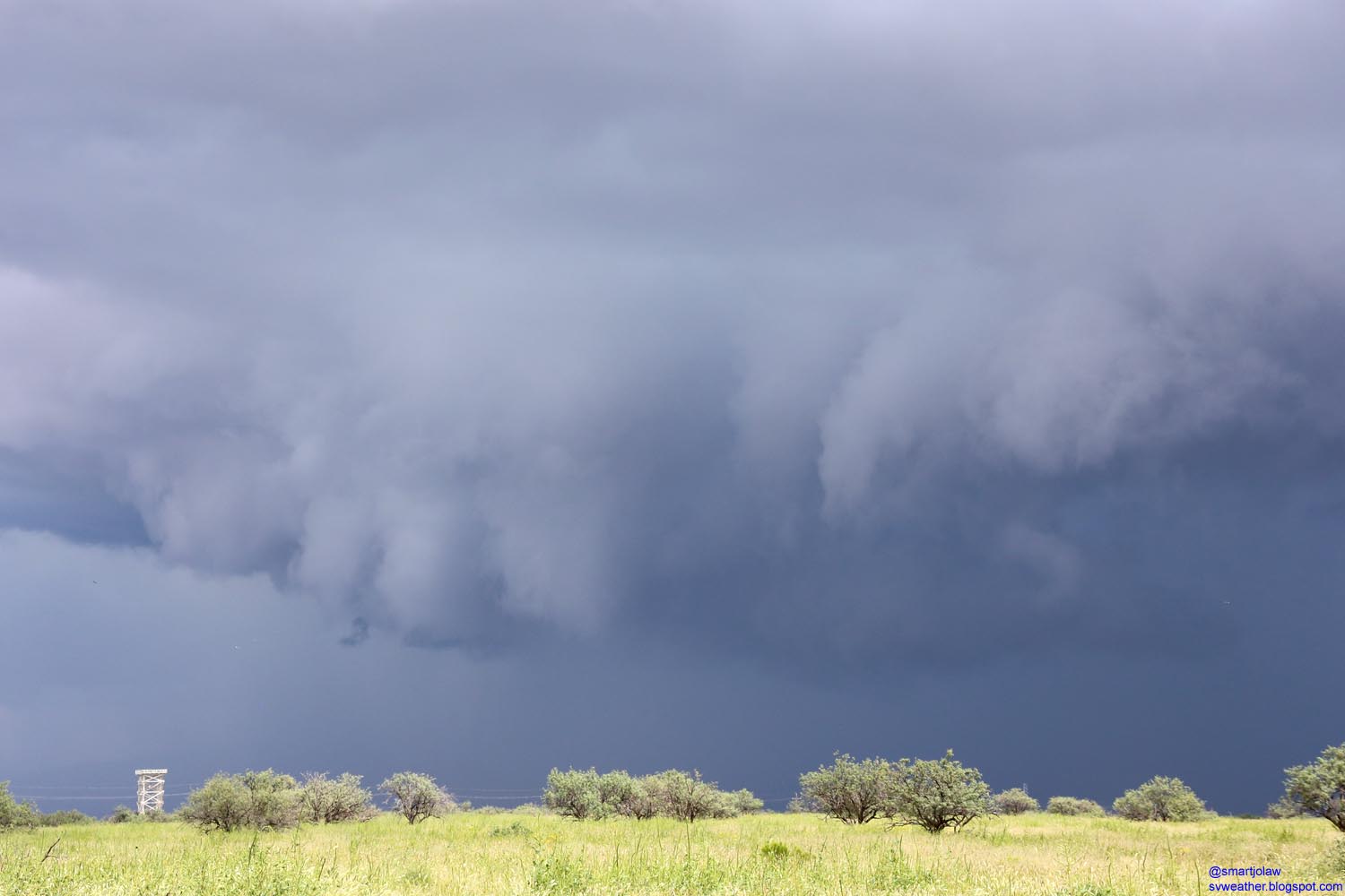
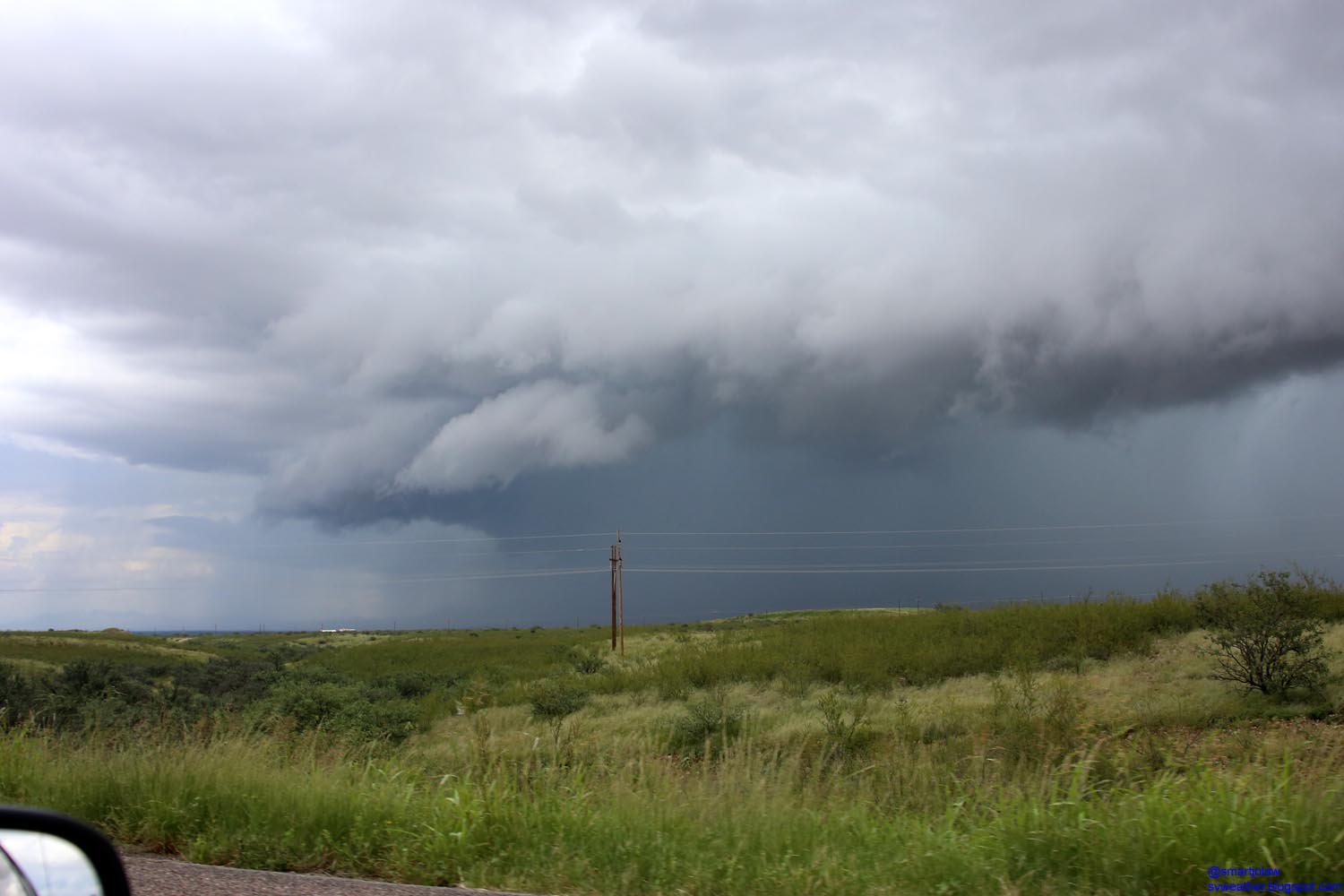
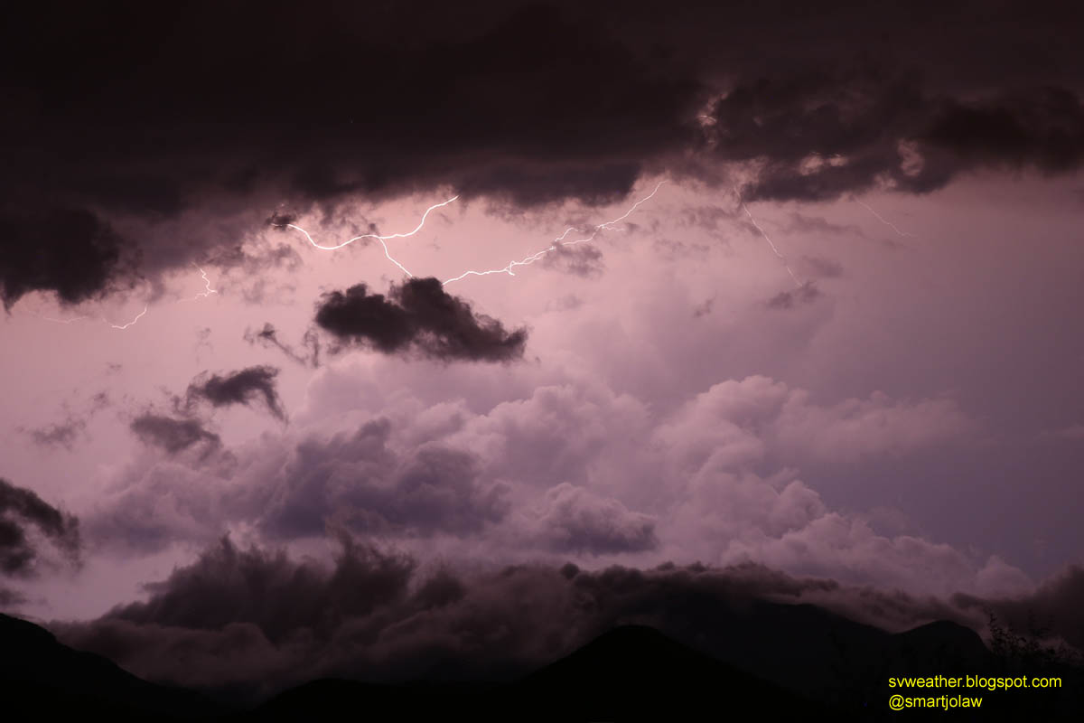
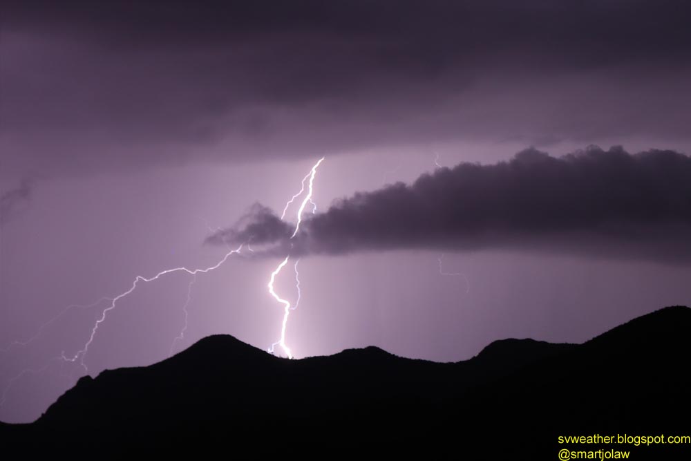
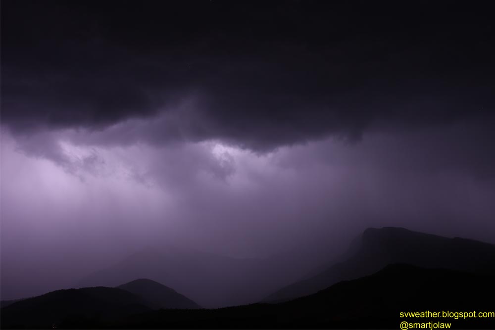
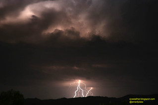
10:34PM, rain started knocking roof with 20mph wind gust, and about 2 or 3 minutes later, a-half-inch size hails slammed the east side windows and sky light cover and the sound was like everything breaking out. The wind direction suddenly changed to southwest and some largest hails reached to 3/4 inch, and wind gusts recorded 30mph. The storm quickly moved out from Hereford and stayed for a while over Huachuca Mountains and got stronger before move down to Elgin, Canelo, and Patagonia area. At the time, I observed intense lightning flash in the storm, almost a flash per second.


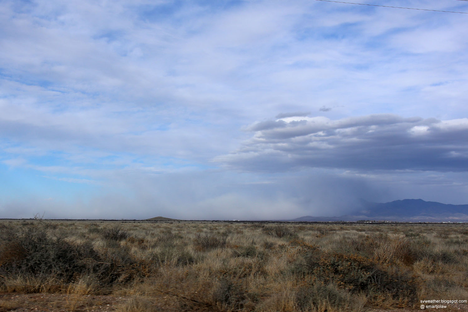
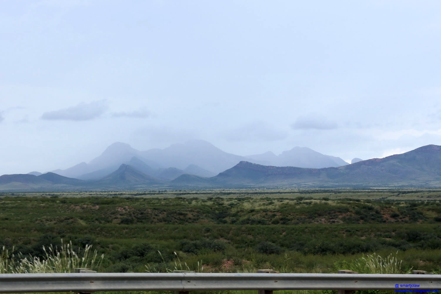
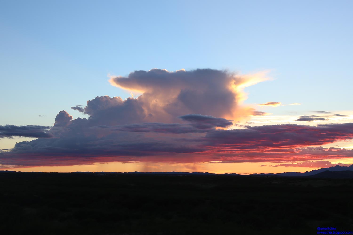
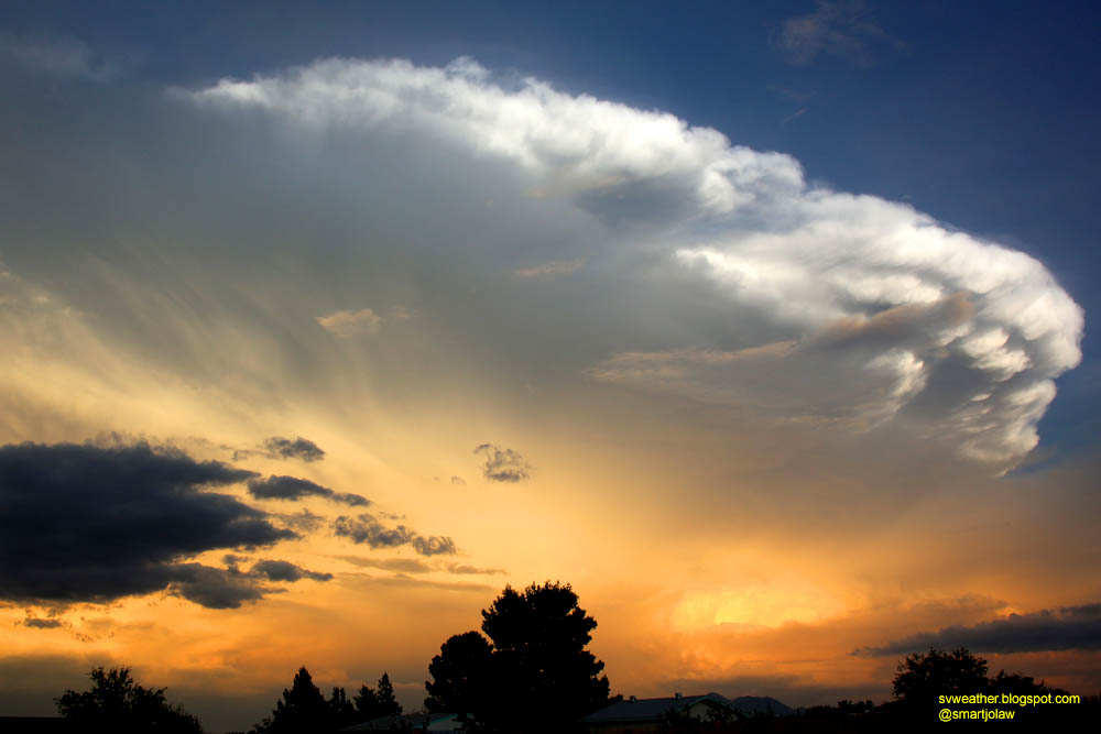
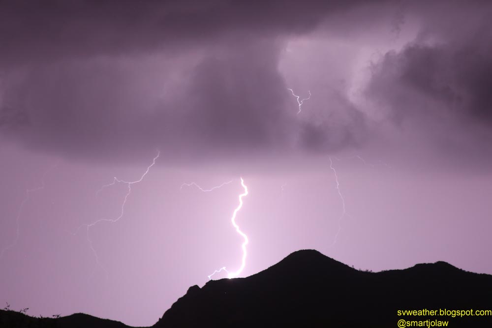
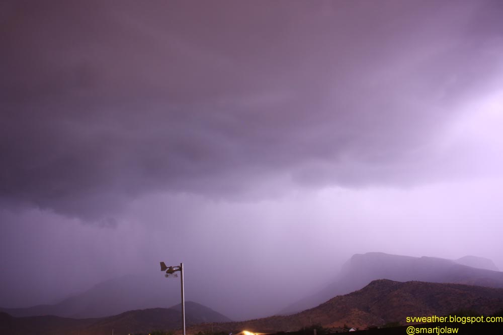
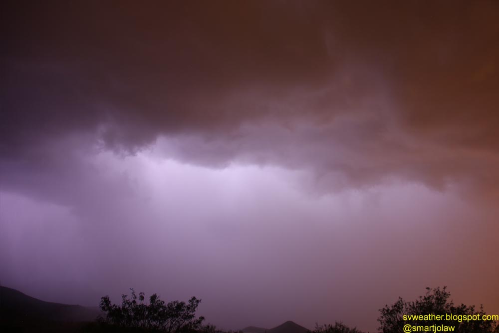
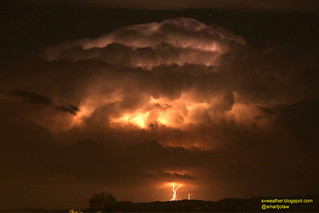
Storm near Patagonia with intense lightning flashes in cloud.

Tuesday, July 15, 2014

July 14, 2014 Flash Flood in Sierra Vista

I captured this video at Lowes, Ford Dealer, highway 90 and highway 92 intersection, Best Buy, and Canyon General.

Friday, July 11, 2014

July 10, 2014 Thunderstorm with Heavy Rain Night

When I got time and grabbed camera the storms were dying and all good CG lightnings gone. The storm dropped 0.92" of rain at my home.

The best shot of last night.

Wednesday, July 9, 2014

July 8th, 2014 Lightning Pictures

A cluster of thunderstorms moved from Mexico around 10PM and new storms rapidly developed over mountains and produced heavy rain from Huachuca mountains to Patagonia in last night. There was not much of cloud-to-ground lightnings and I captured only two good shots. Otherwise, it was cloud-to-cloud lightnings and I could see the heavy rain in the light.


Thursday, July 3, 2014

Radio Fire west of Whetstone, AZ Video

Whetstone fire named "Radio Fire". I captured this video yesterday evening around 6:40PM.

Wednesday, July 2, 2014

Brush Fire West of Whetstone Arizona

A brush fire started approximate 7 miles northwest of Whetstone, AZ around 5PM (maybe earlier). I guess the fire blacked about 80 acres at 6:30PM, and grew to about 130 acres when a thunderstorm approaches at 7:30. I'm not sure how many rainfall was received in the area, maybe between 0.2 to 0.4 inch, anyway the fire activity is low after the storm passing. I hope the fire be contained soon, before another round of thunderstorm wind hit the area tomorrow afternoon and evening. Be safe firefighters! and Thank you!


The wind direction changed suddenly southwest to northeast when a thunderstorm approached around 7:15PM. The first picture (left) was took about a half mile north of the location took another two pictures.


Looking from Sierra Vista at 7:26PM.

Monsoon arrived!

Storms developing over Chiricahua mountains and moving westward. I expect the storms and newly developing clouds arrive Sierra Vista and Hereford area around 4PM and later. Also expect strong gusty winds front of storms.


Thursday, June 19, 2014

June 19, 2014 Beautiful Sunset

I think it was the best sunset evening of this year so far. I stopped my car on side of highway 90, just east of 7th street intersection and took this picture.

Tuesday, June 17, 2014

First Measurable Rainfall in Hereford Arizona!

Now, it's Monsoon season, but not yet in traditional. We had first measurable rainfall today evening and my weather station recorded 0.08". Also, a slow moving lightning storm in Davis Road (southeast of Tombstone) area was observed in early to late evening hours, combined a beautiful sunset. Monsoon knocking the door now!


Above picture was taken around 5PM near post office at Highway 92 and Hereford road intersection.

Friday, June 13, 2014

Monument Fire Poster Image, June 12, 2011

3 years ago, June 12, 2011, a wildfire started near US-Mexico border and rapidly spread to north and east. The east side stopped by firefighters quickly, but fire moved north and climbed up to mountain and started burning heavy cold-killed grass and trees. The fire burned 30,526 (GACC Data) acres, damaged 105 buildings and 5 vehicles, and about ten thousand people in Hereford, Nicksville, and Sierra Vista were evacuated.

Last winter was dry and warm. And still dry and unseasonable windy days with possible dry lightnings. We are under critical fire condition, please everyone carefully use any stuffs that can start fire.

Sunday, June 8, 2014

3 years after Monument Fire - Old Sawmill Spring Trail to Carr Peak

Today, I hiked Old Sawmill Spring Trail to Carr Peak. There are still lot of fire burned trees standing and dead trees after fire. Thankfully, we had wet Monsoon season last year and over 80% of Aspen tress are recovered. Also, lot of young Manzanita, Ash, and Oaks growing up pretty fast from both seeds and roots. But, I could find only one young Pine or Fir tree in the trail.

Here is some pictures I took today.

Burned Manzanitas.

Young Manzanutas from seeds.

Burned Silverleaf Oak & new branches from root.

Young Ash from seed.

Hey buddy! Mule Deer, there was another one.

Mexico fires still burning but less activity.

Surprise! Never expected to see you here.

Aerostat Fire burned area in Garden Canyon, looking from Carr Peak.