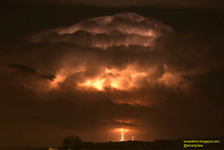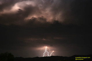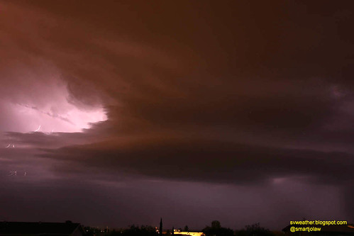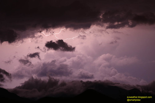

The storm was slightly weaken when passing north of Mule Mountains, but rapidly got stronger when moving down to San Pedro river and produce heavy rain and hail. I couldn't see any cloud-to-ground lightnings this time, but still lot of flashes in cloud.

10:34PM, rain started knocking roof with 20mph wind gust, and about 2 or 3 minutes later, a-half-inch size hails slammed the east side windows and sky light cover and the sound was like everything breaking out. The wind direction suddenly changed to southwest and some largest hails reached to 3/4 inch, and wind gusts recorded 30mph. The storm quickly moved out from Hereford and stayed for a while over Huachuca Mountains and got stronger before move down to Elgin, Canelo, and Patagonia area. At the time, I observed intense lightning flash in the storm, almost a flash per second.

Storm near Patagonia with intense lightning flashes in cloud.
2 comments:
Thank you for doing this , we love the area but can't live there full time just yet : )
Thank you for leaving a comment! This month was too busy for me and missed some big events. However, I'm going to upload past events one after another as time allowed.
Post a Comment