Weather observation and photography. Huachuca City, Whetstone, Sierra Vista, and Hereford.
Wednesday, July 9, 2014
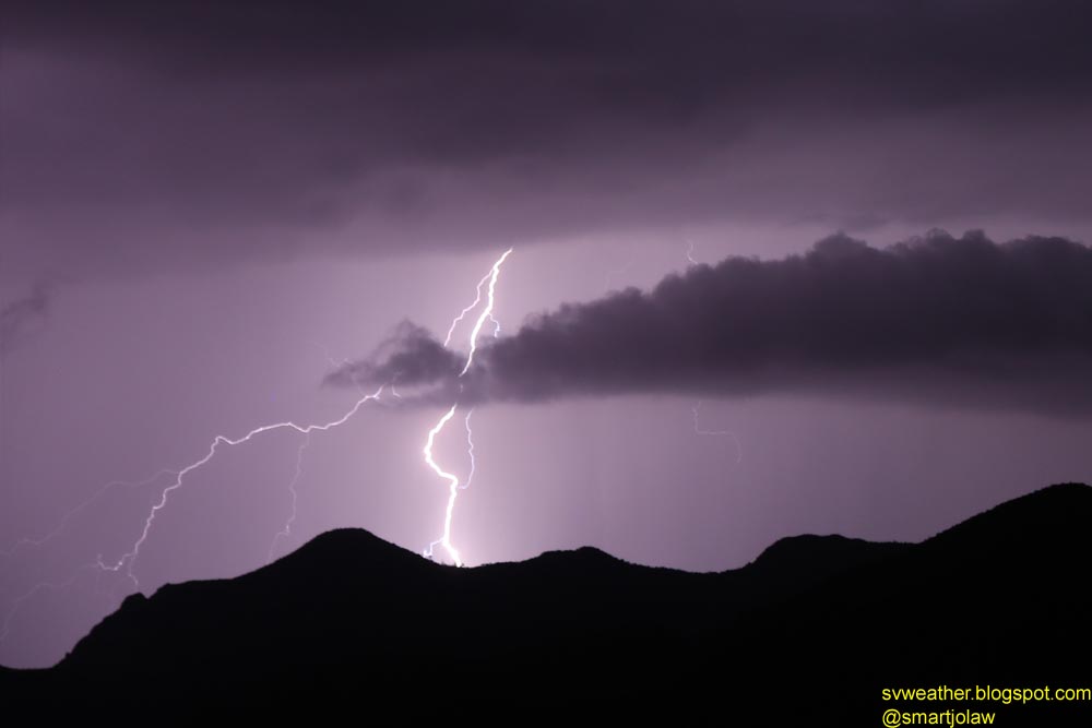
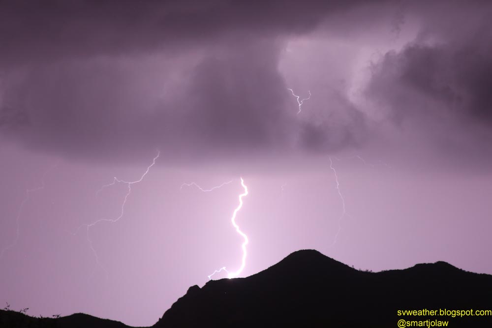
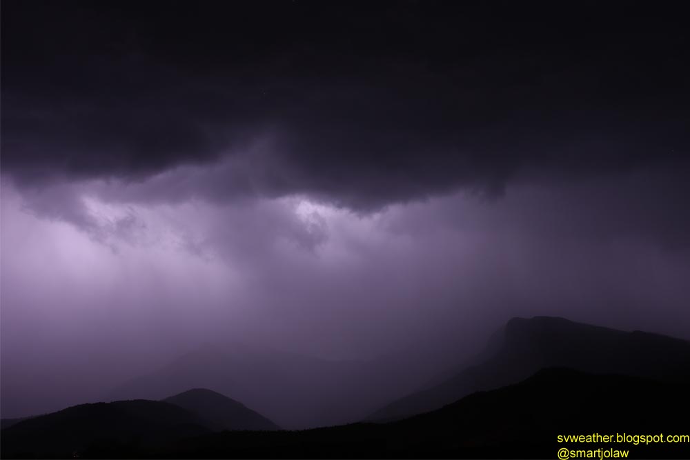
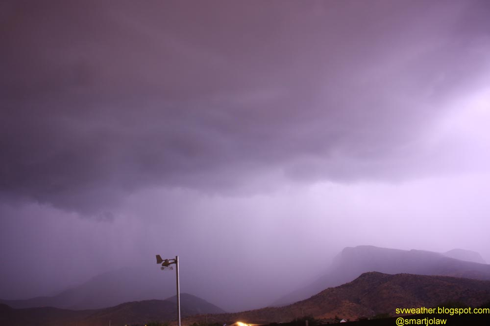
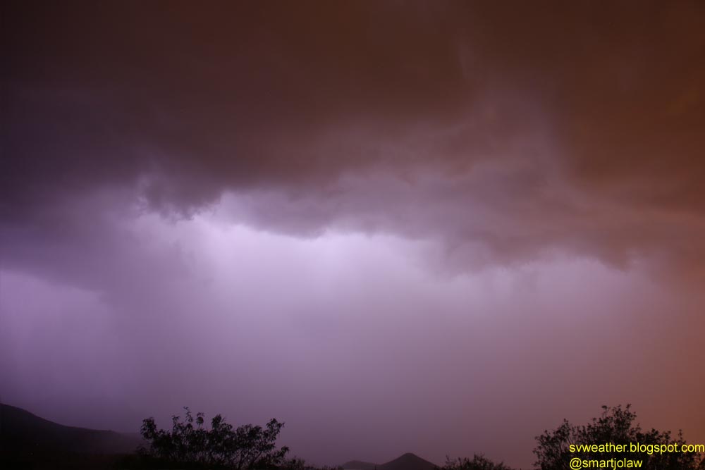
July 8th, 2014 Lightning Pictures
A cluster of thunderstorms moved from Mexico around 10PM and new storms rapidly developed over mountains and produced heavy rain from Huachuca mountains to Patagonia in last night. There was not much of cloud-to-ground lightnings and I captured only two good shots. Otherwise, it was cloud-to-cloud lightnings and I could see the heavy rain in the light.
No comments:
Post a Comment