Cochise County Weather
Weather observation and photography. Huachuca City, Whetstone, Sierra Vista, and Hereford.
Saturday, February 4, 2017
January 21st, 2017 Winter showers rapidly developed across Cochise County
Snow, ice pellet, rain storms developing around Huachuca City.
Rainbow over Sierra Vista.
Snowing on Huachuca Mountains.
A storm moving into Sierra Vista with ice pellets.
Friday, January 20, 2017
January 20th, 2017 Sunrise in Huachuca City
January 17th, 2017 Afternoon Storms Produced Light Rain/Snow
Low top cumulus clouds became small storms and producing rain/snow on Dragoon Mountains.
A storm producing light rain in Huachuca City.
A storm rapidly developed over Huachuca Mountains and producing Hail/Snow.
January 16th, 2017 Sunrise and more Snow in Afternoon
Sunrise light shine the snow on top of Huachuca Peak.
Beautiful view of Huahuca Mountains at sunrise.
Cumulus clouds increasing as sun heats up the ground in the morning hours.
Snowing on top of Huachuca Mountains.
January 14th, 2017 Isolated Thunderstorms
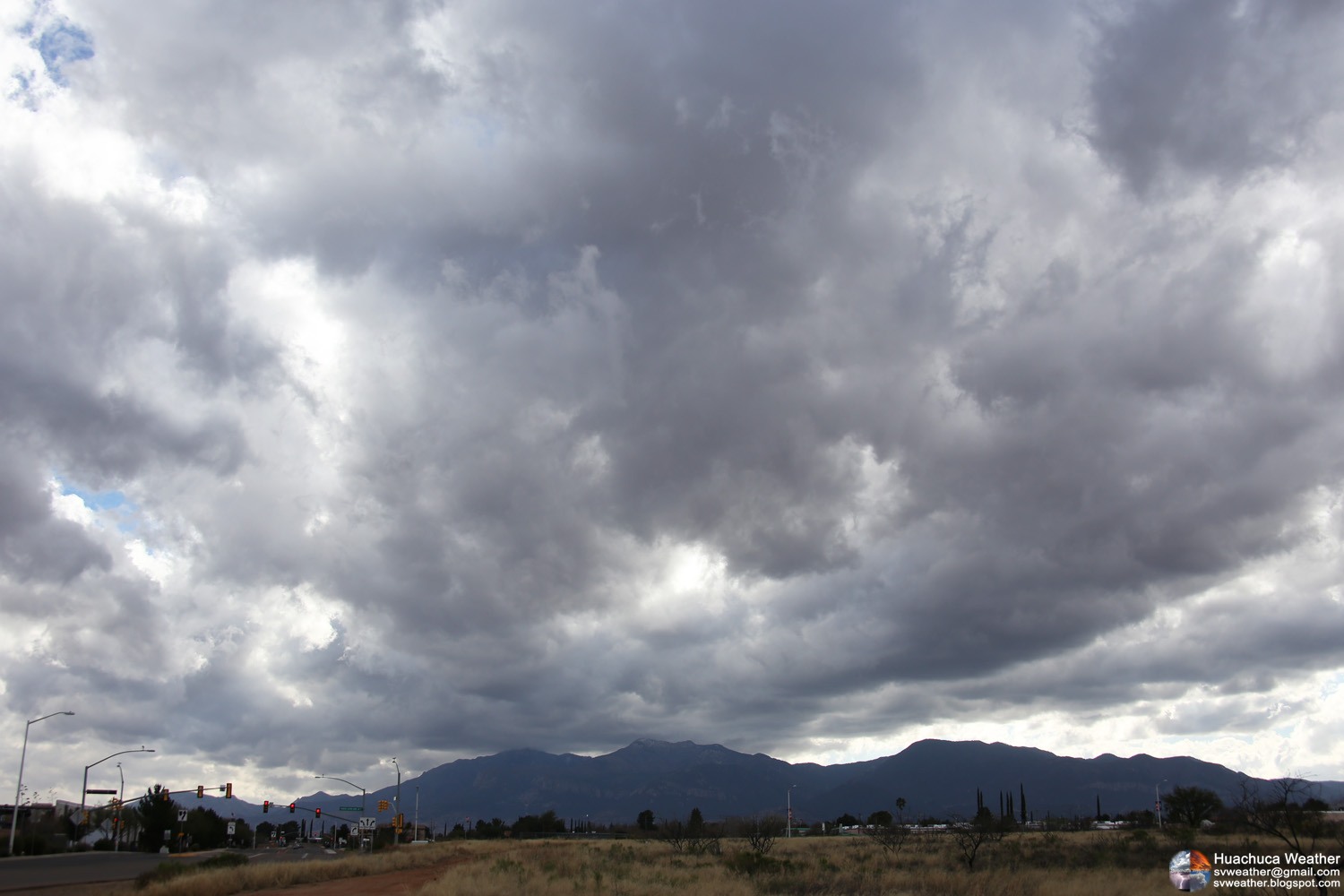
Increasing clouds over Huachuca Mountains as a low system moving into Arizona.
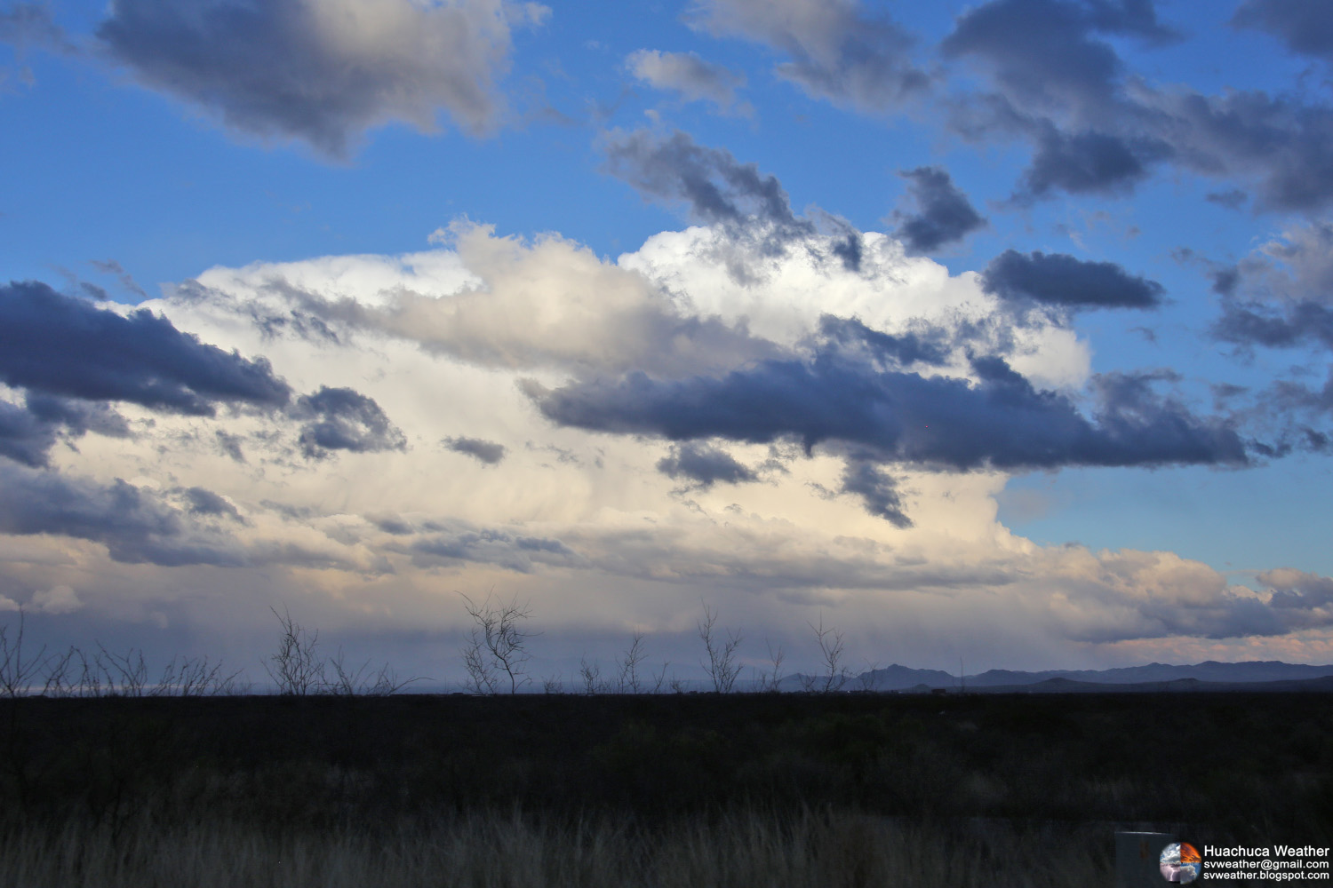
Isolated Thunderstorm near Patagonia. Seen from Huachuca City.
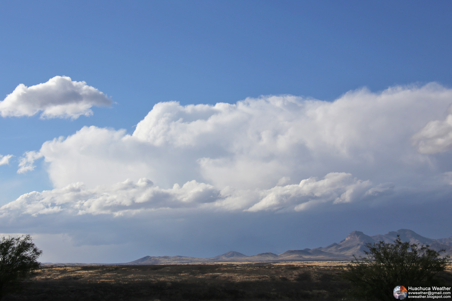
A weakening storm near St. David.
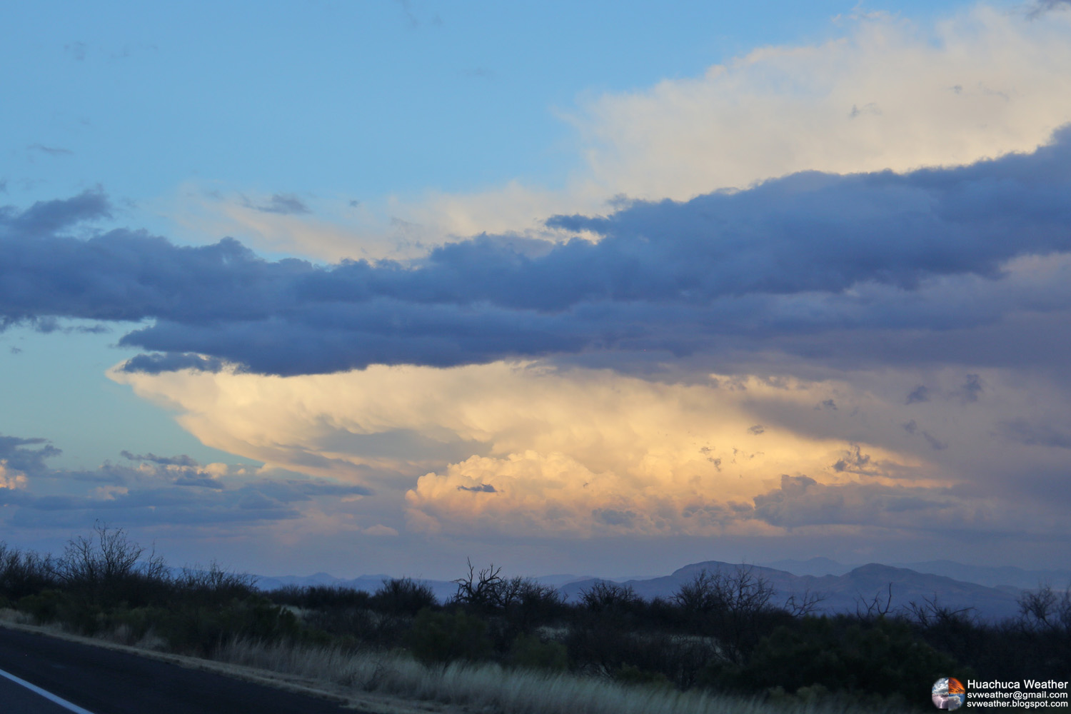
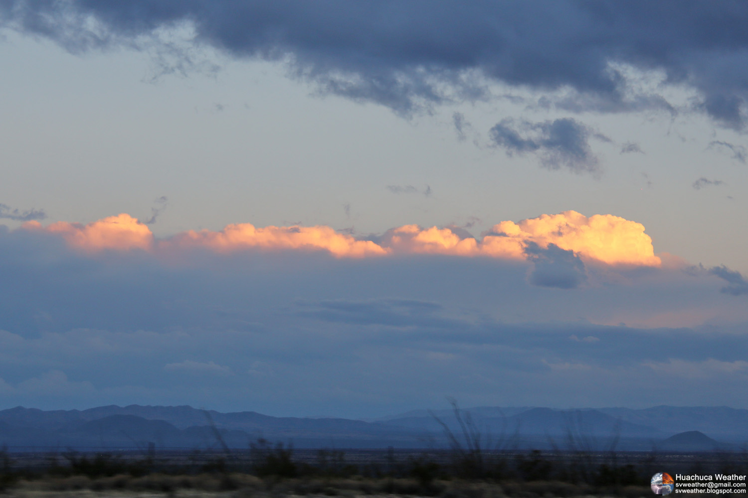
A strong thunderstorm north of Willcox. Seen from Highway 90 south of Benson.
Storms moving into Douglas. Seen from Highway 90 south of Benson.
January 5th, 2017 Altocumulus Clouds over Hereford
January 1st, 2017 Rainy Day, Clear Night
A storm system passed southern Arizona and produced 0.12" of rain in Huachuca City. Nogales received snow around noon.
A weak storm moving out from Sierra Vista.
Moon and Venus.
Newer Posts
Older Posts
Home
Subscribe to:
Posts (Atom)