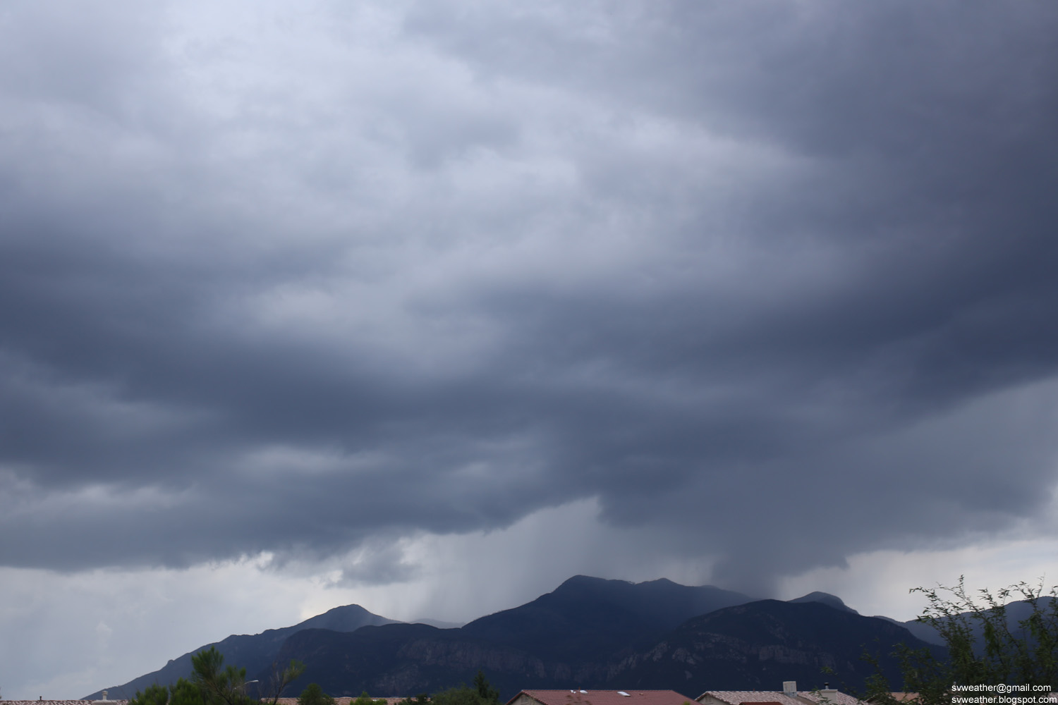
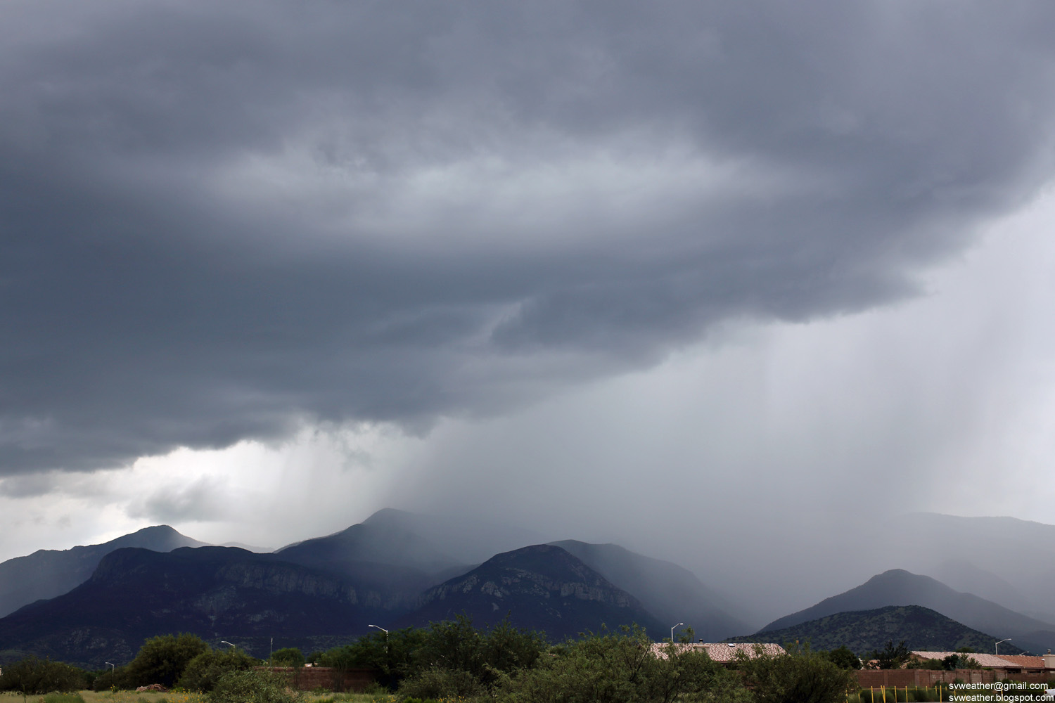
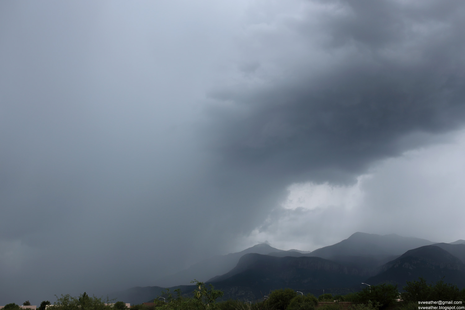
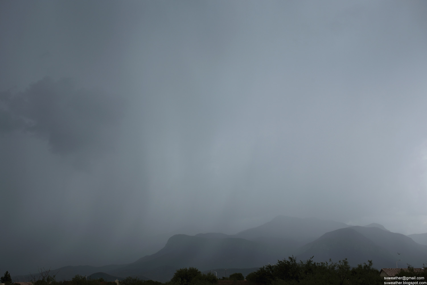
Showing posts with label Thunderstorm. Show all posts

Friday, July 13, 2018

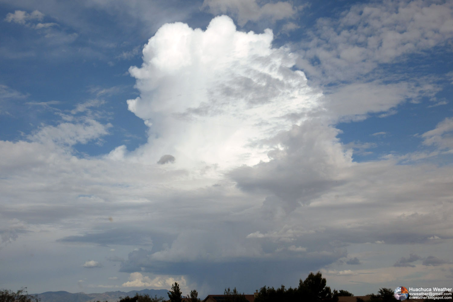
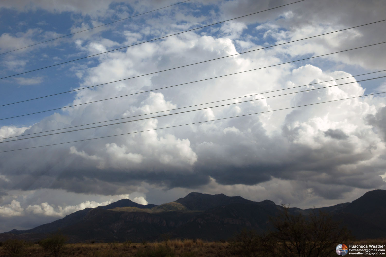
July 13, 2018 A typical Monsoon day

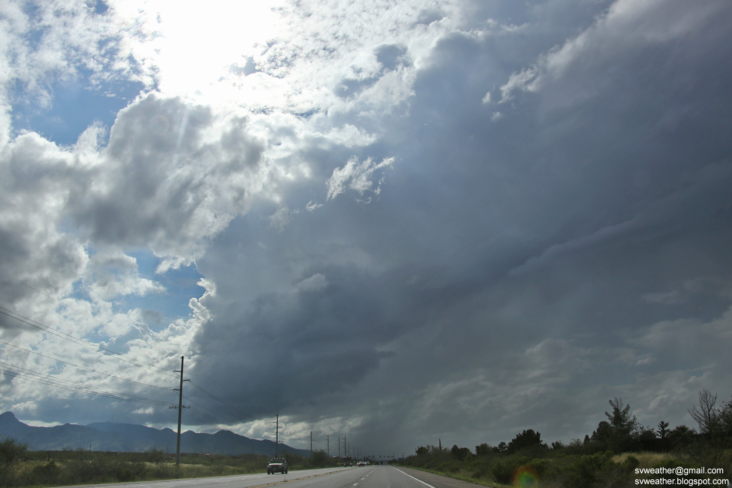
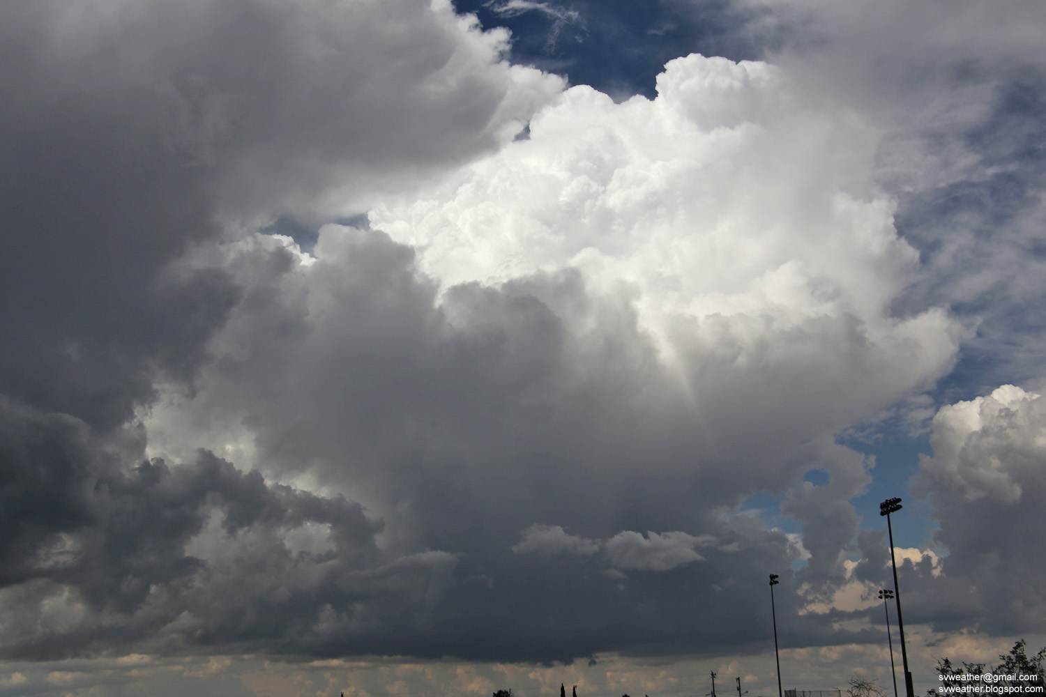
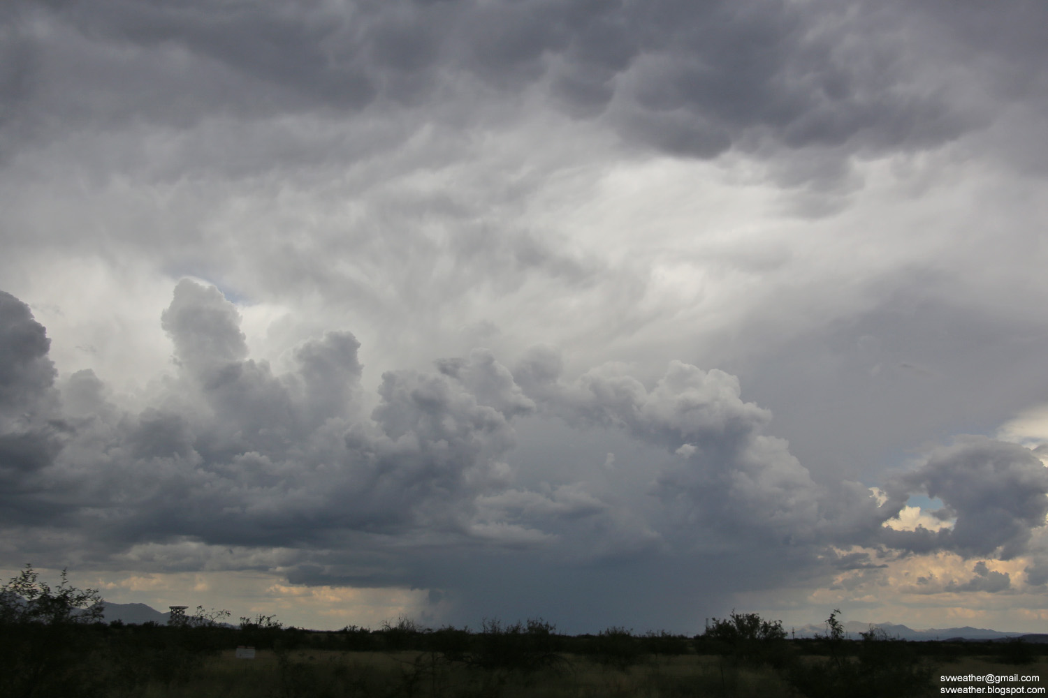
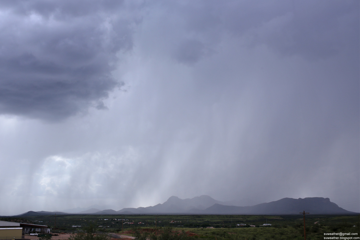
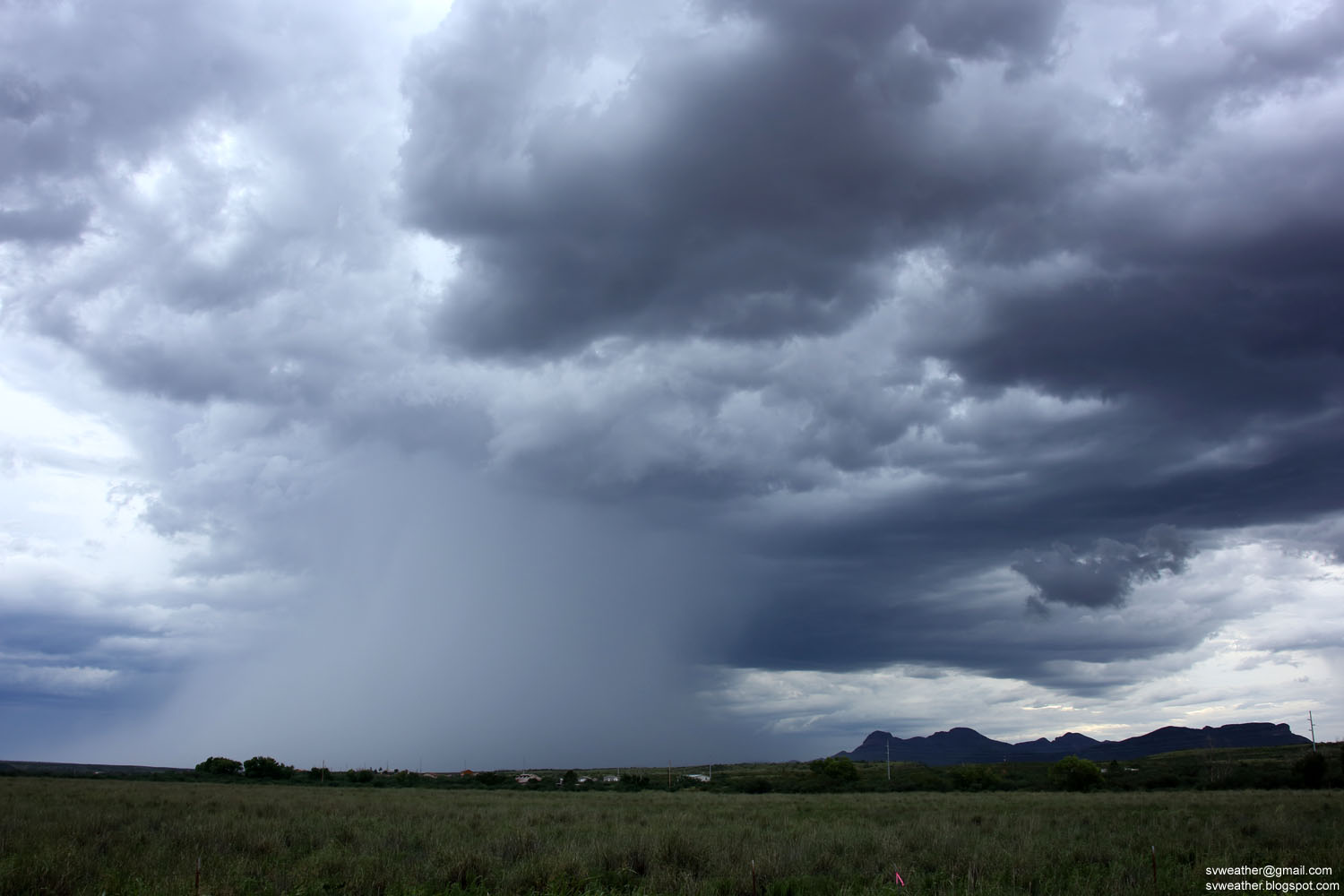
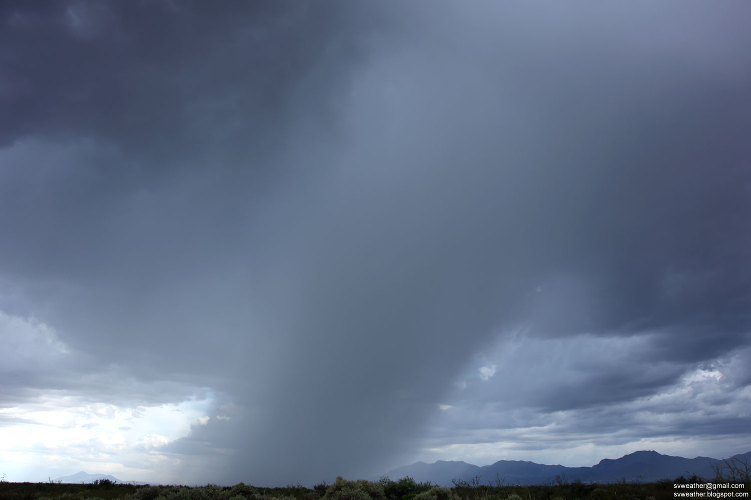
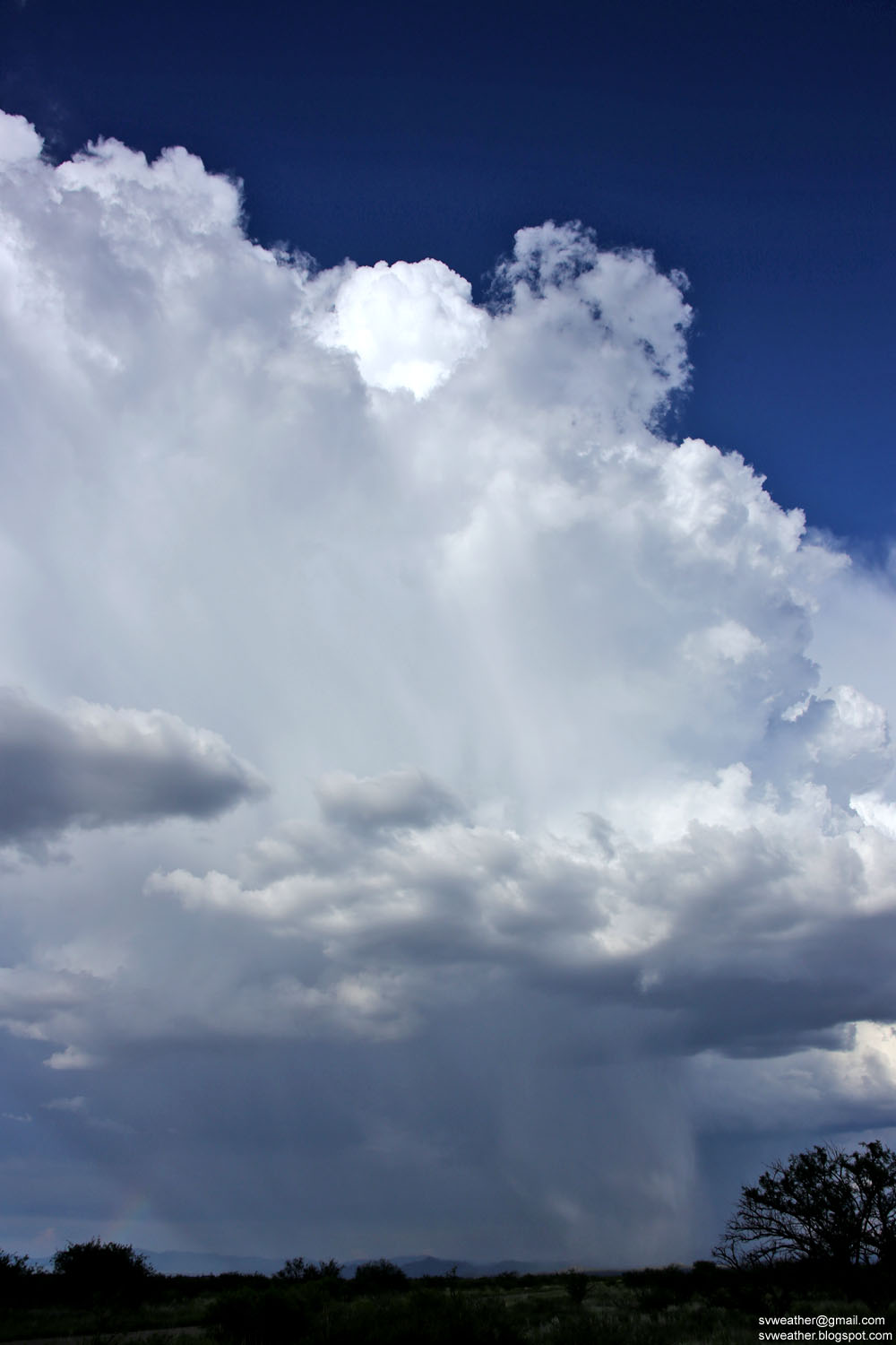
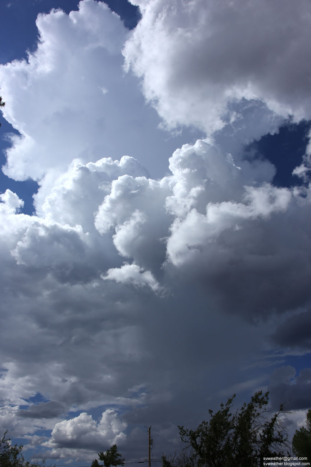
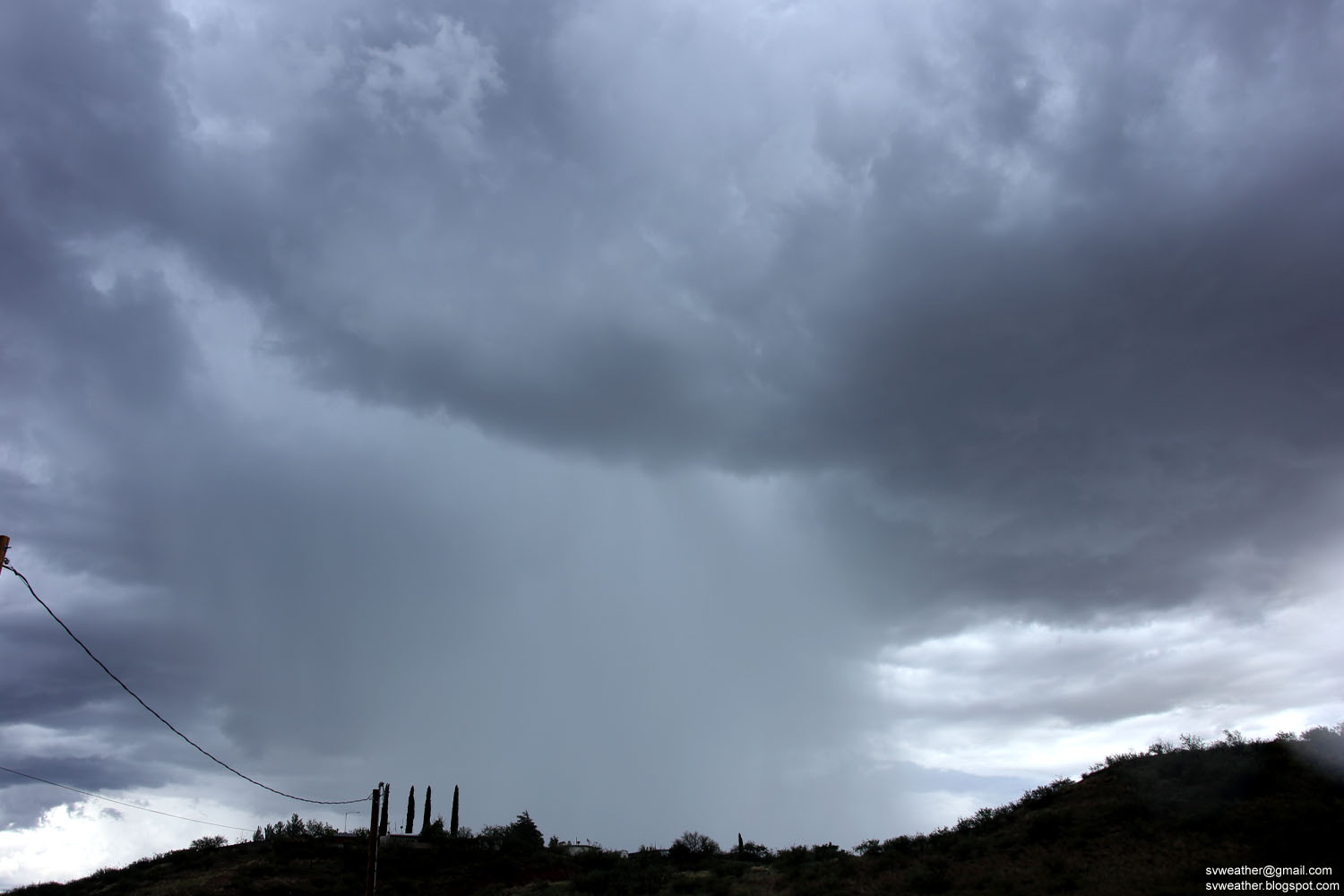
An isolated thunderstorm over Bisbee.


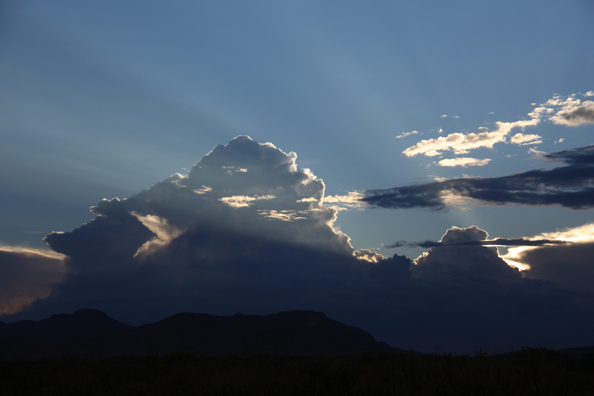
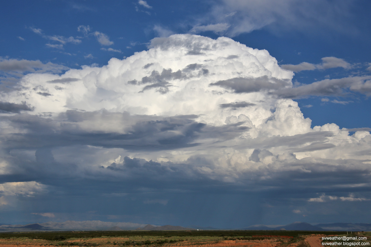
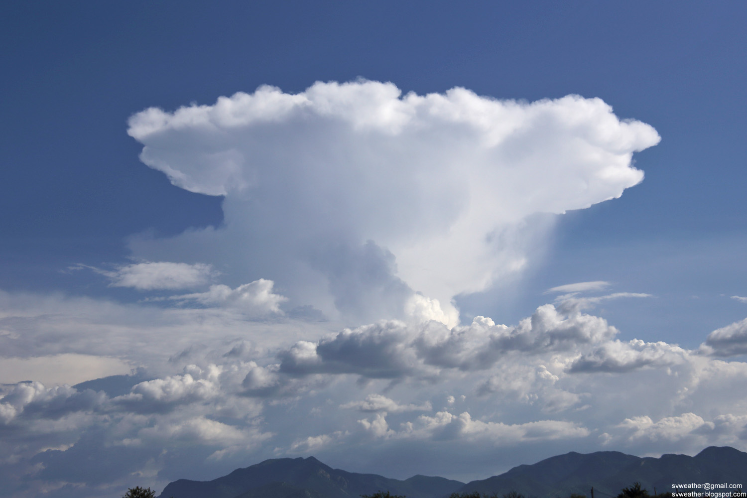
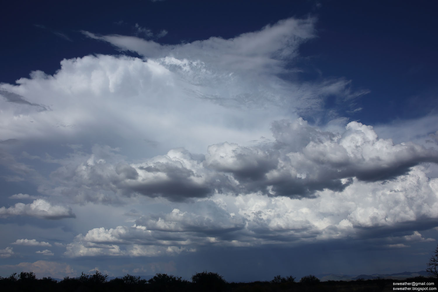
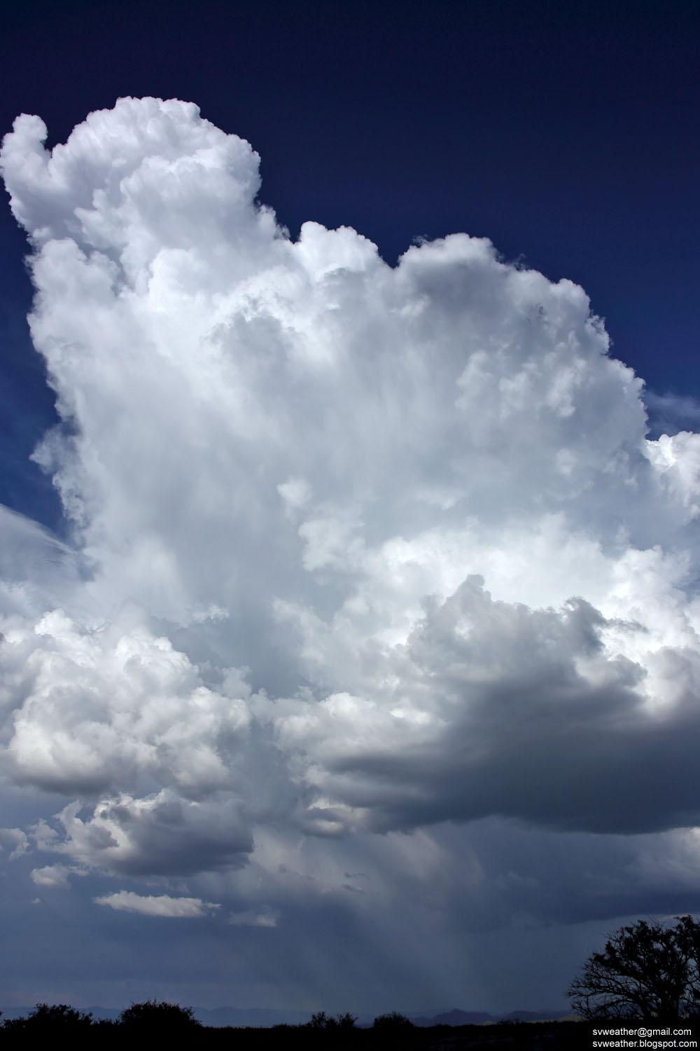
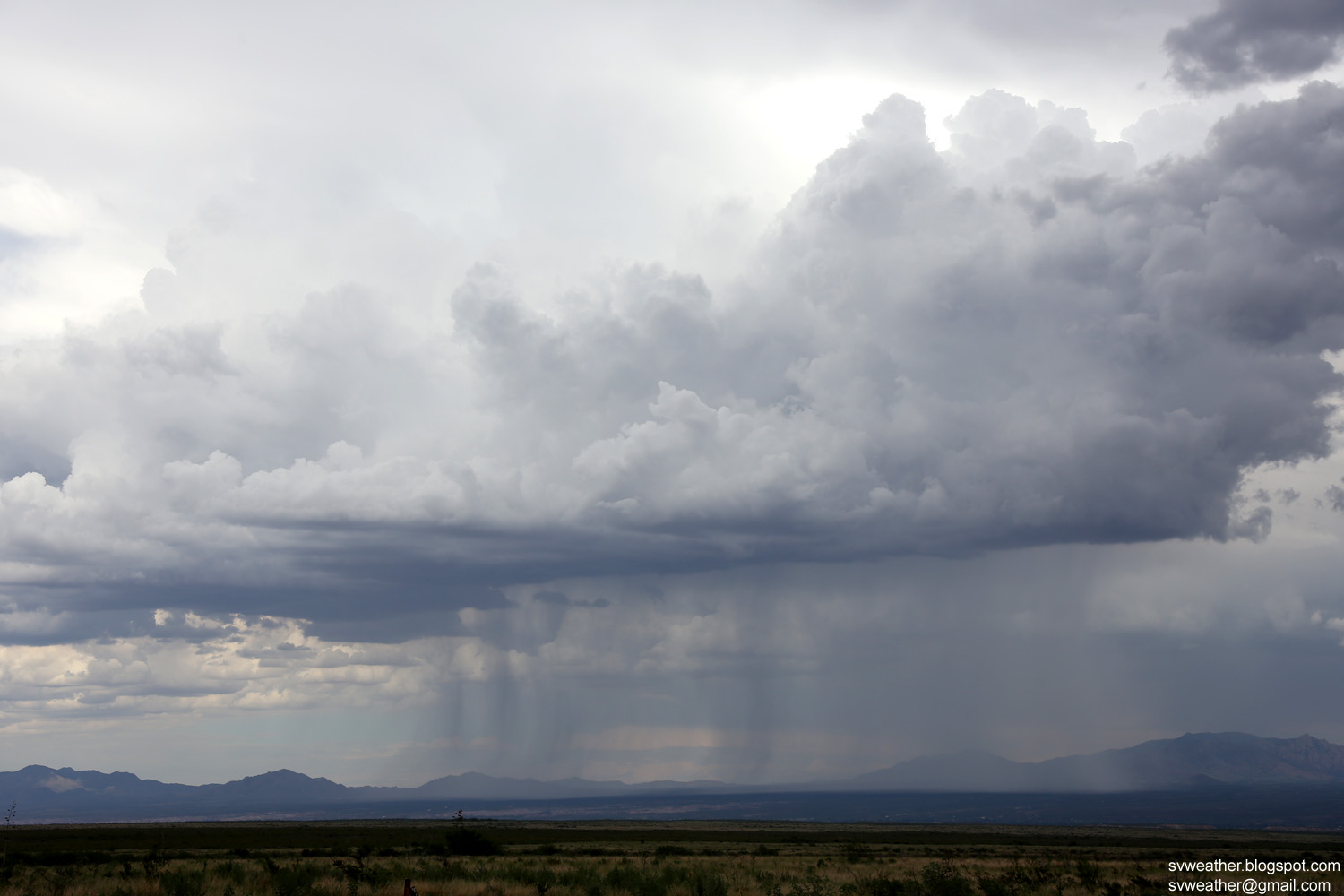
Cumulus clouds towering up over Huachuca Mountains.

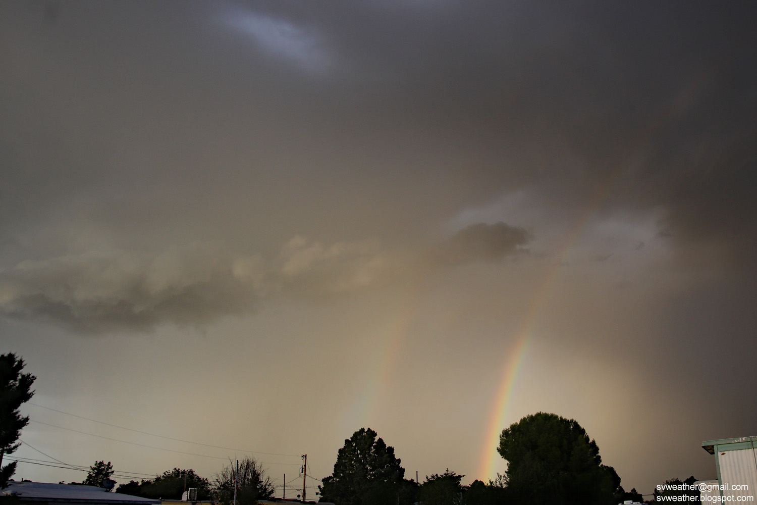
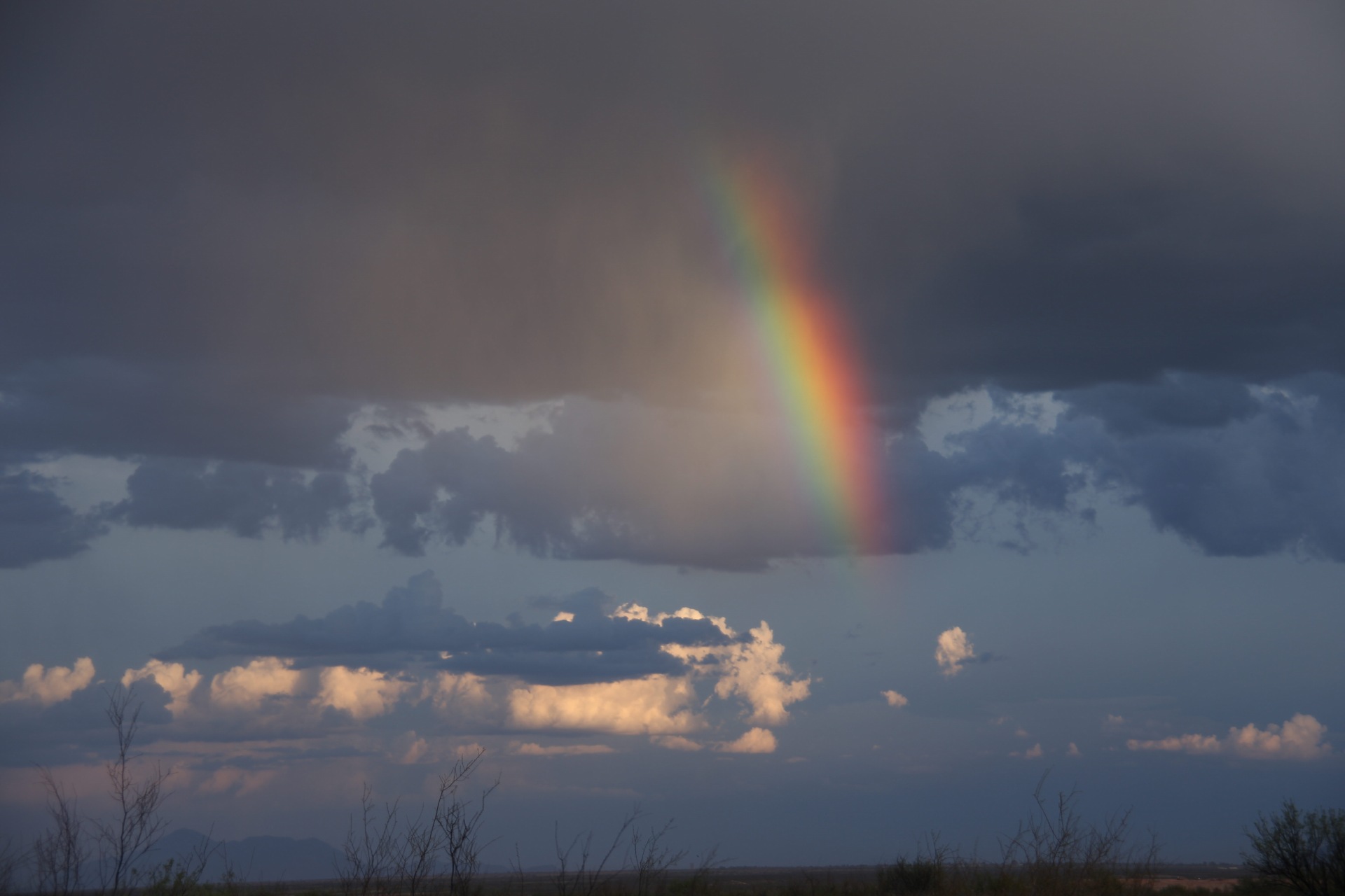
July 8th, 2018 Springkle and rainbow in Huachuca City

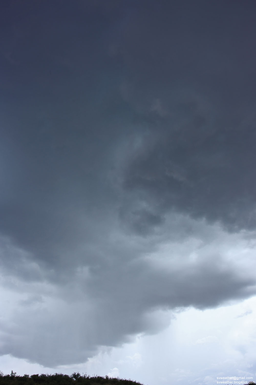
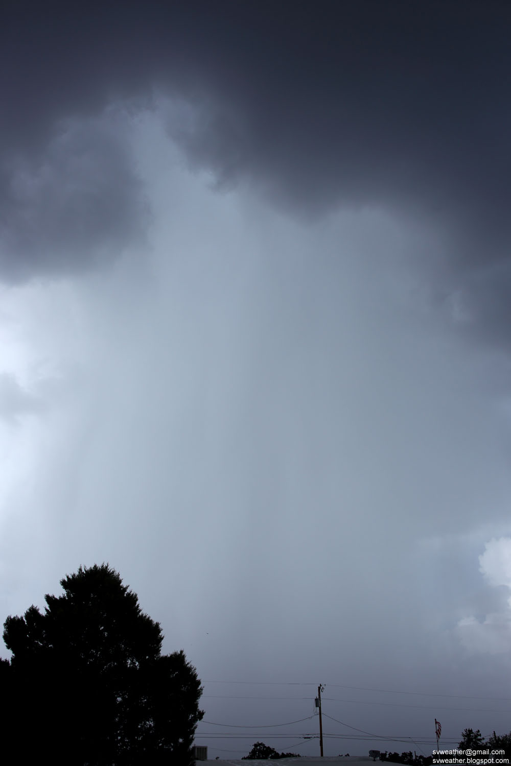
Series of thunderstorms produced moderate rain from east of Huachuca City to Huachuca mountains in the evening hours. Huachuca City received only sprinkle.


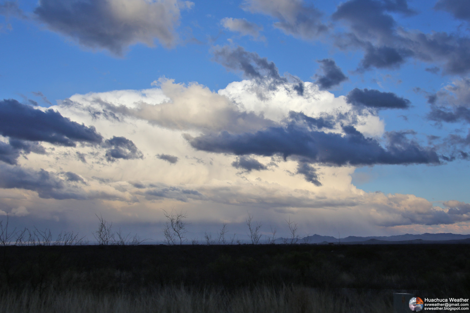
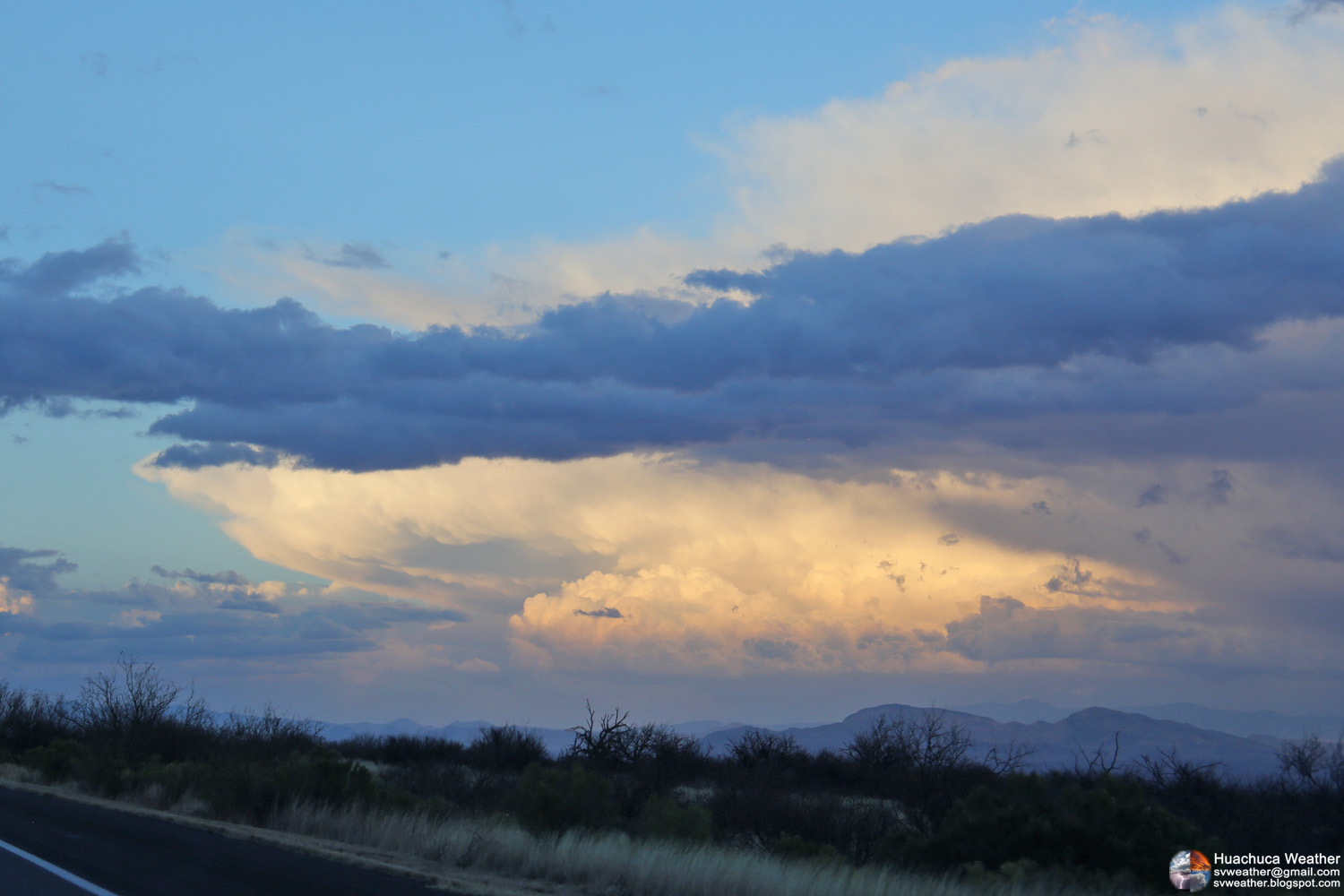
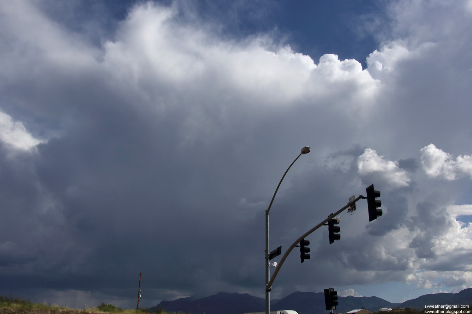
A big storm fired up near Green Valley and the tower of storm was visible from Huachuca City/Whetstone area.
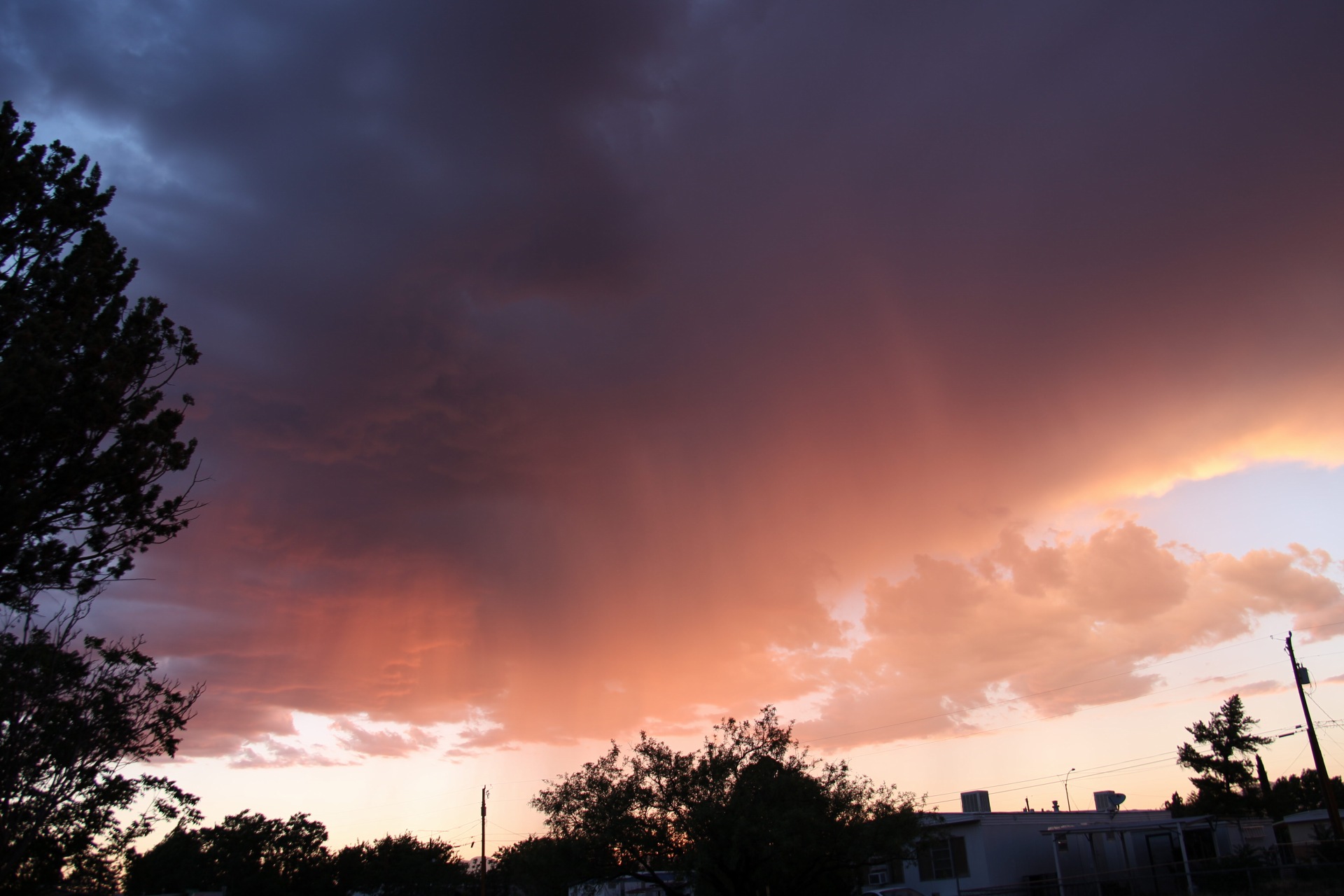
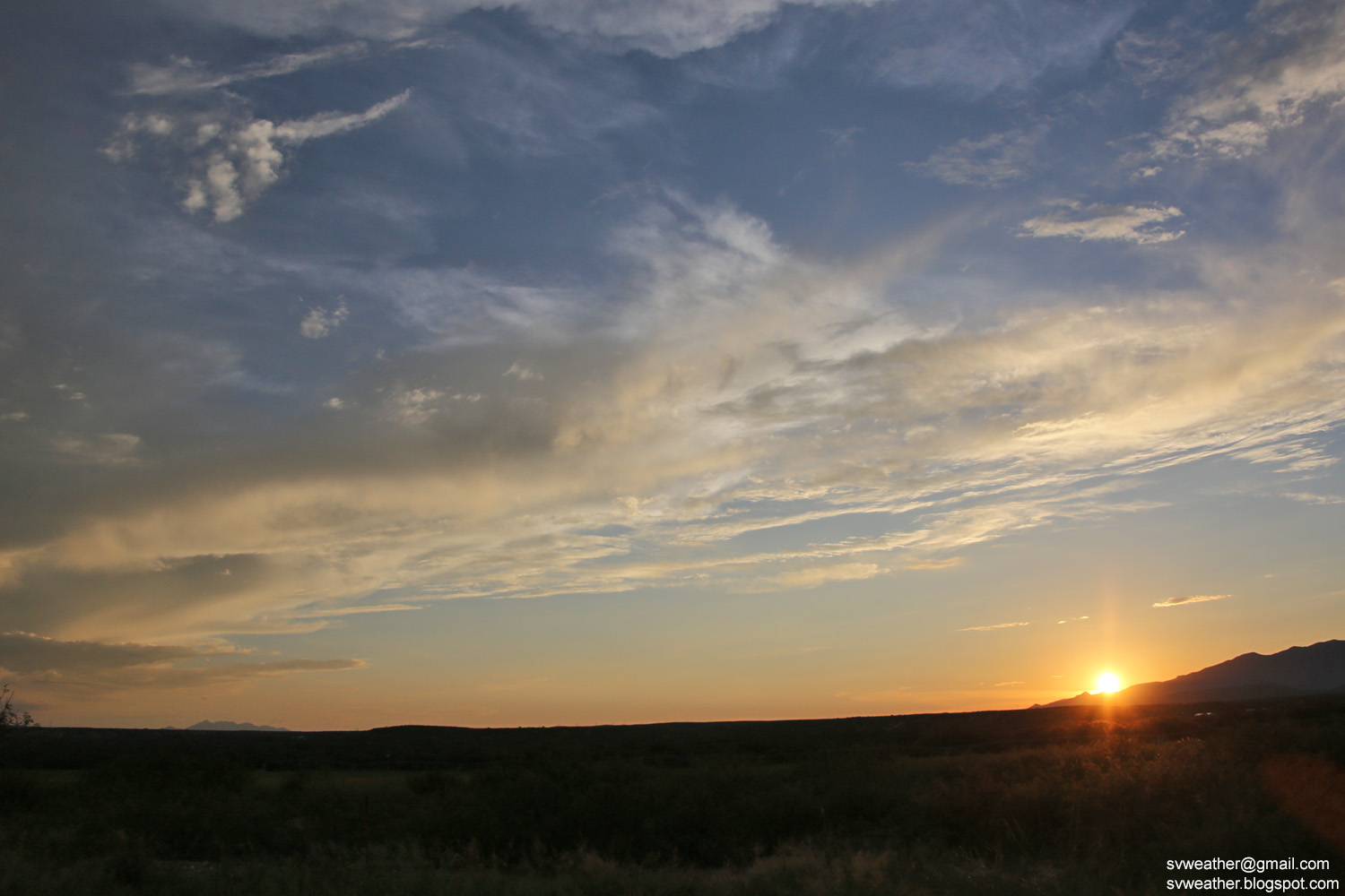
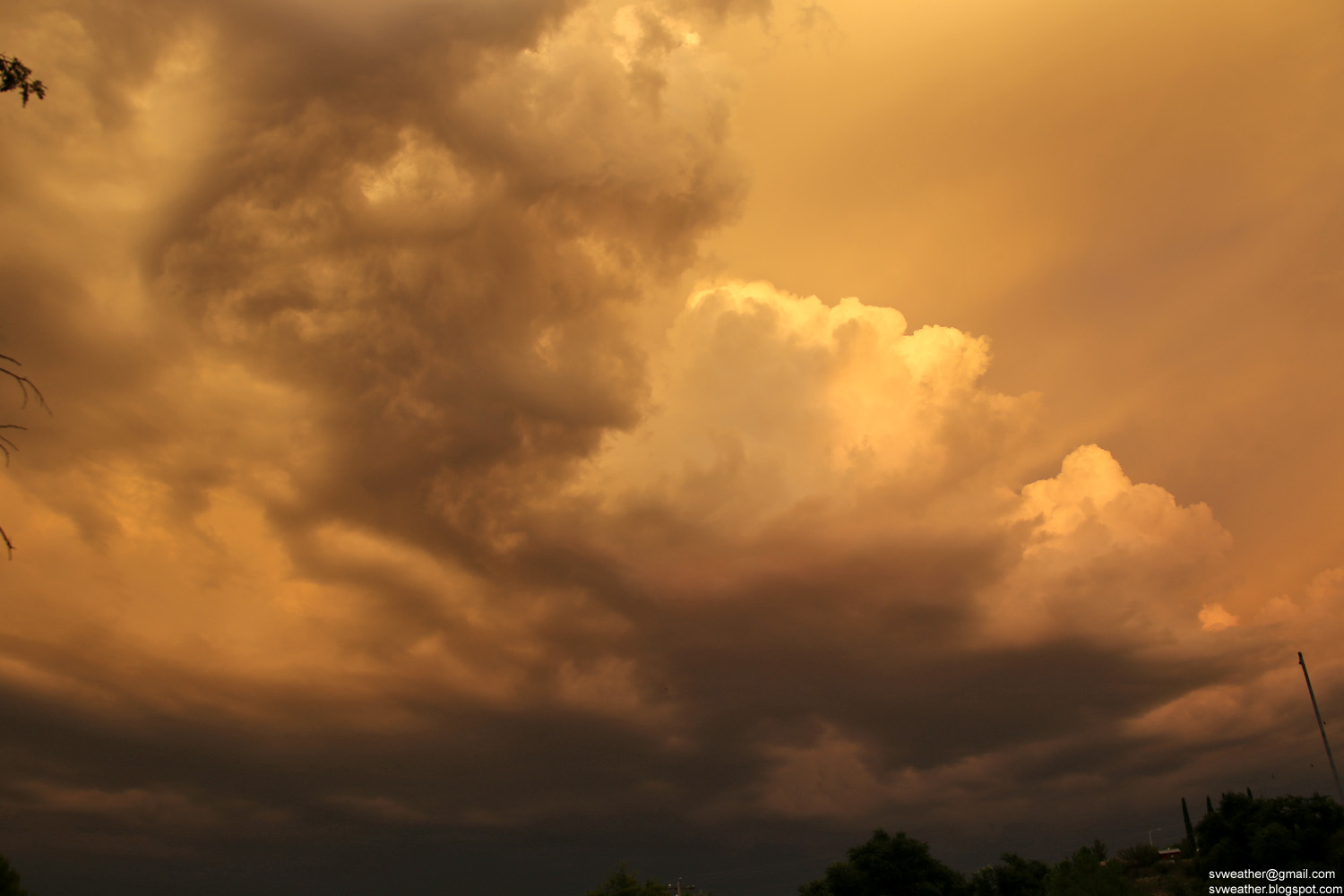
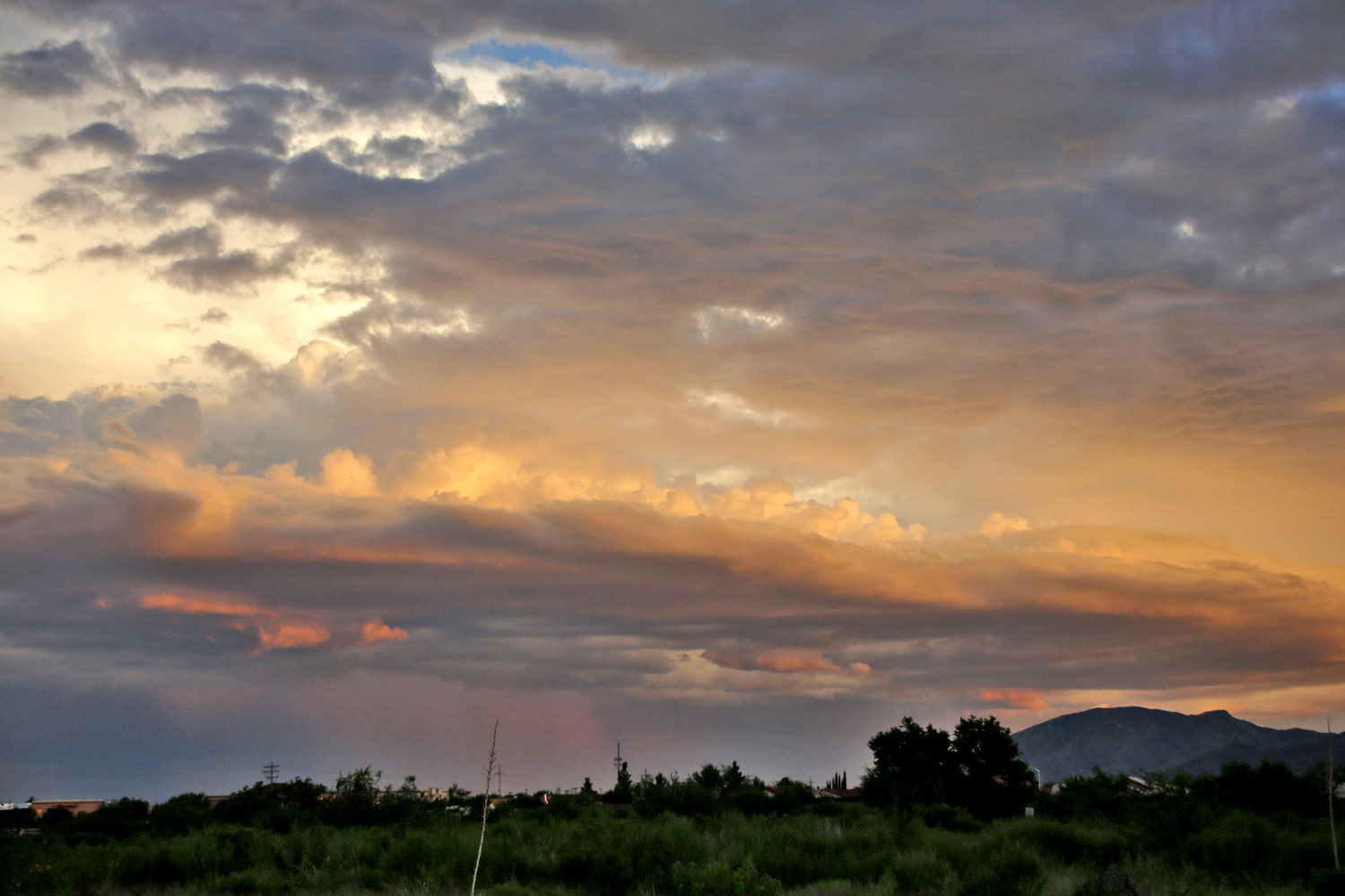
June 28th, 2018 A small storm in Huachuca City at sunset

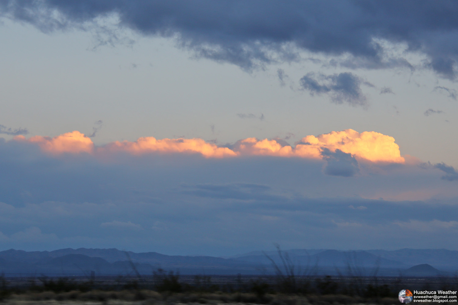
A small storm moved into Huachuca City right after sunset and dropped 0.07" of rain.


Friday, January 20, 2017

January 14th, 2017 Isolated Thunderstorms

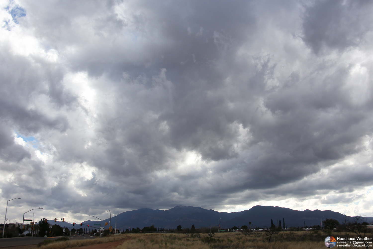
Increasing clouds over Huachuca Mountains as a low system moving into Arizona.
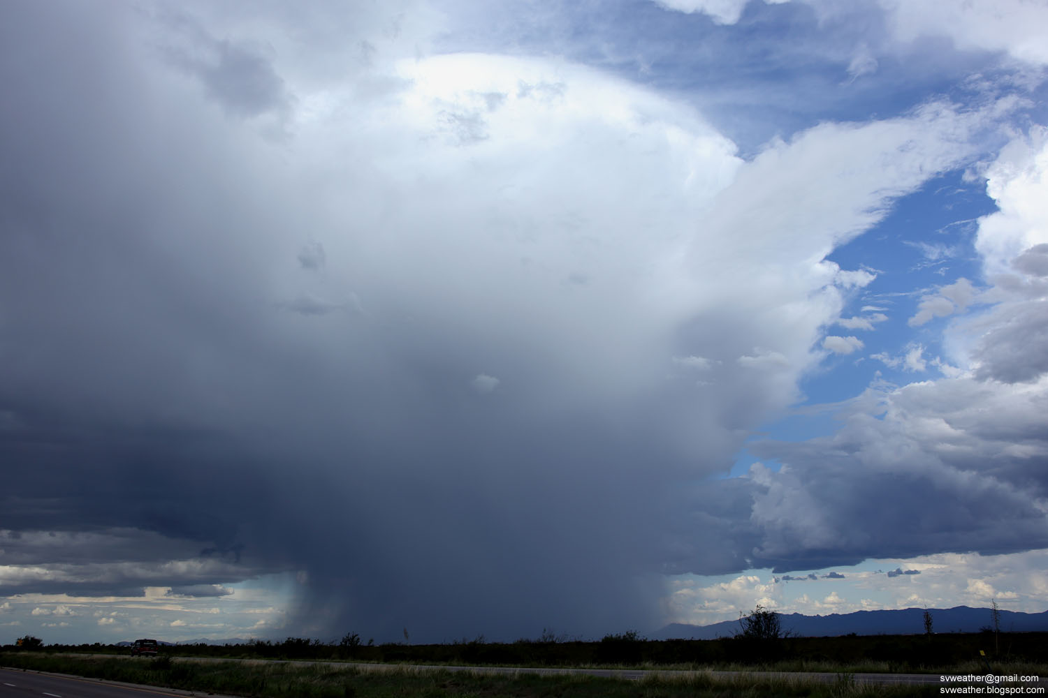

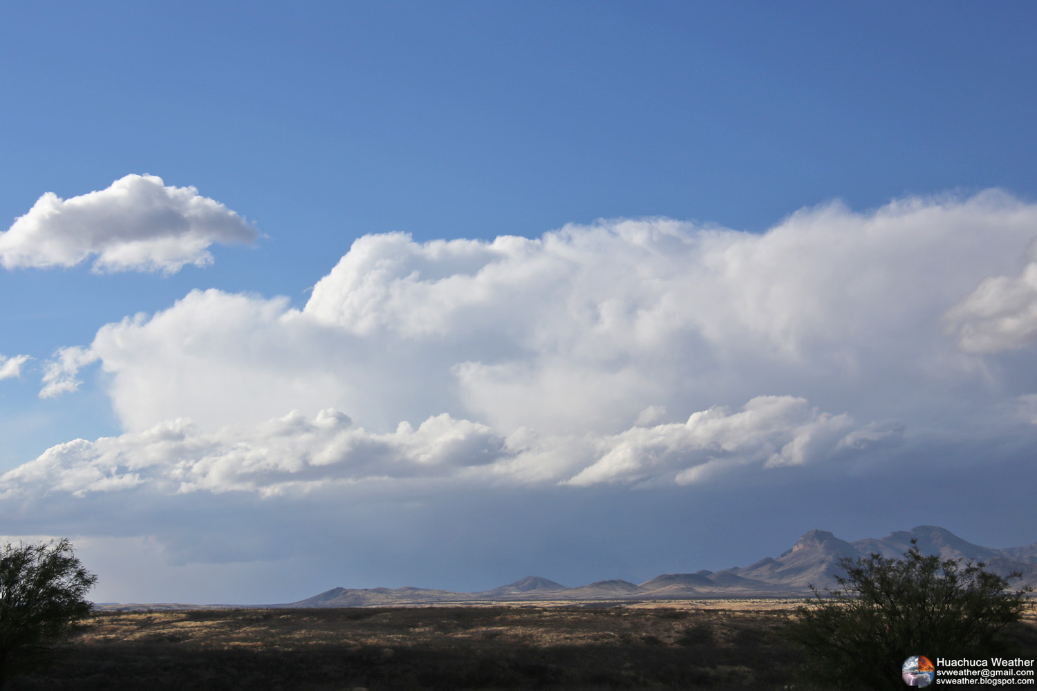
Isolated Thunderstorm near Patagonia. Seen from Huachuca City.
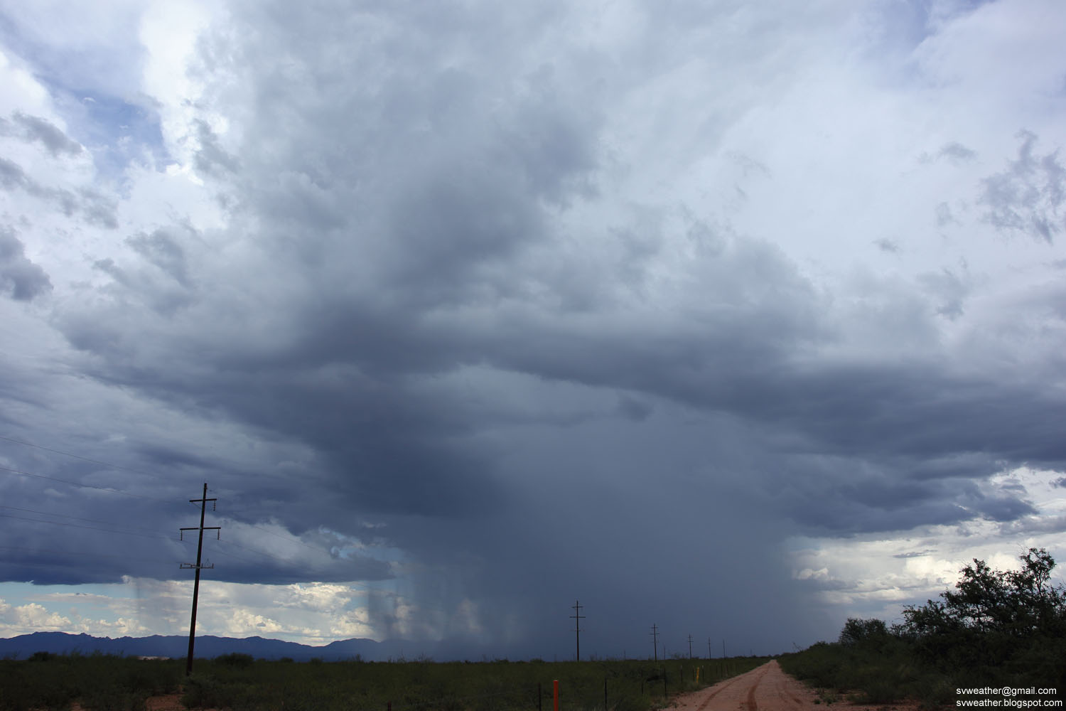

A weakening storm near St. David.


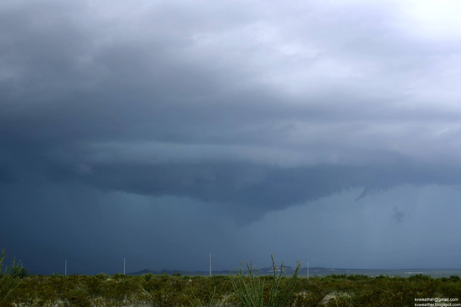
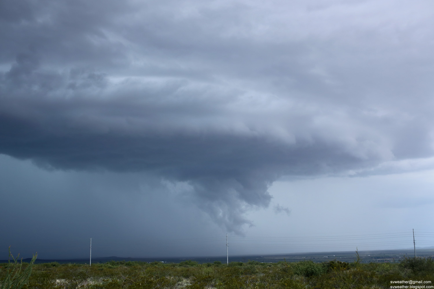
A strong thunderstorm north of Willcox. Seen from Highway 90 south of Benson.


Storms moving into Douglas. Seen from Highway 90 south of Benson.


Sunday, July 24, 2016

Photos from September 2015

September 5th, A storm west of Sierra Vista.


September 6th, Sunset near Pomerene.


September 11th, Rainbow, evening thunderstorm east of Huachuca City.


September 17th, A severe thunderstorm warned storm moving into Elfrida.

Monday, April 18, 2016

August 22, 2015 Heavy Rain in St. David

A strong storm towering up near St. David.


Producing heavy rain in St. David.

Friday, March 18, 2016

2015 August Storm Pictures

August 16, 2015 Evening Strom in Huachuca City.


August 17, 2015 Anvil of a thunderstorm in Mexico, just south of Lochiel.


August 21, 2015 Isolated thunderstorm over Huachuca Mountains.


August 9th, 2015 Heavy Rain and Flooding in Miller Canyon

2:45PM, Developing thunderstorm over Huachuca Mountains.


2:51PM, Heavy rain on Huachuca Mountains. Carr peak to Ramsey Canyon.


Rain 2:59PM, Heavy rain in Miller Canyon.


3:19PM, Heavy rain and flash flooding happening in Miller Canyon.


Check out Cochise County Fire N Incidents Facebook group's post about this storm.
https://www.facebook.com/groups/CochiseCountyFires/permalink/1595813760671054


4:06PM, Strong thunderstorm forming south of Bisbee, AZ


August 8th, 2015 Heavy Rain in Sierra Vista

3:54PM, Raining on Mustang Mountains, west of Huachuca City.


4:26PM, Storm base over Sierra Vista. About to dump heavy rain in minutes.


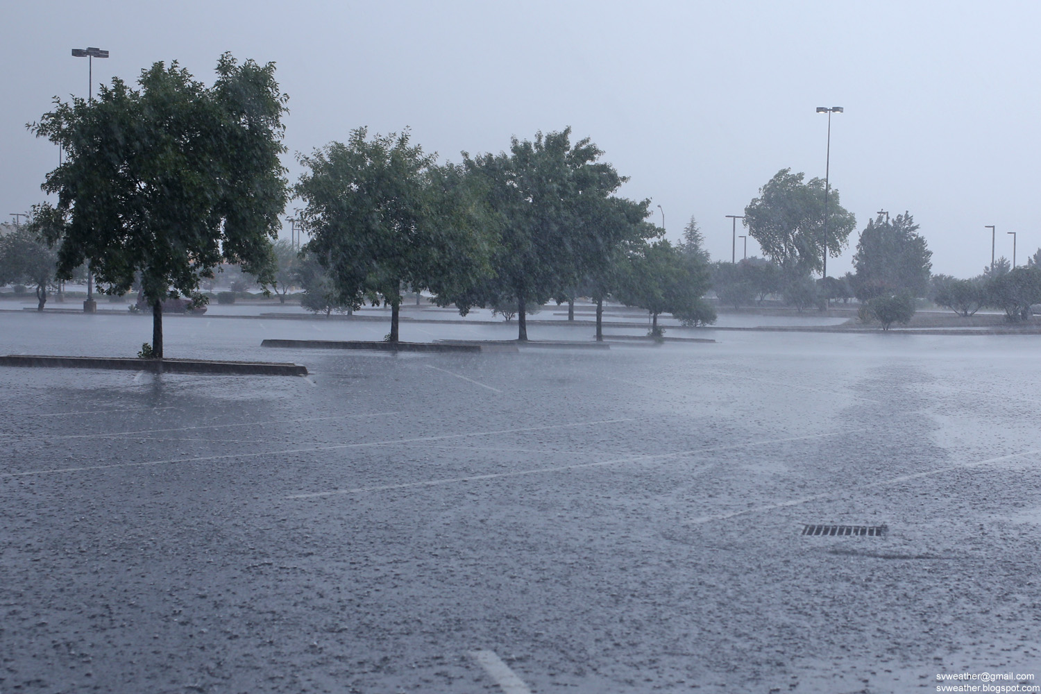
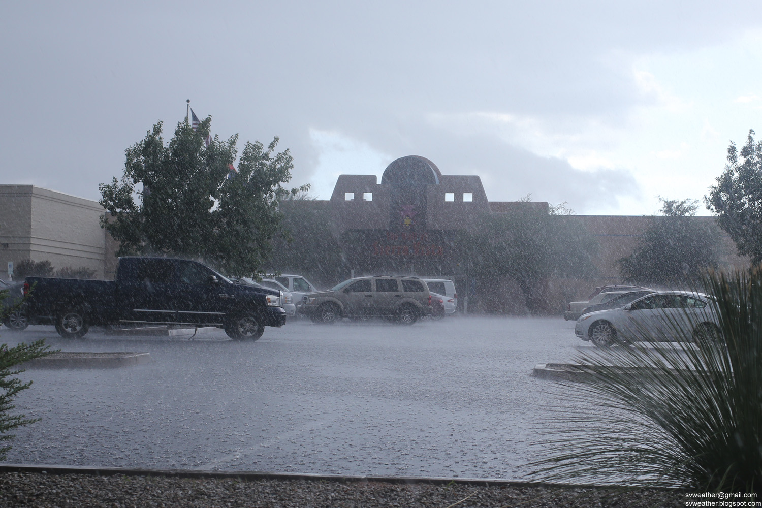
Heavy rain at Sierra Vista Mall parking lot.


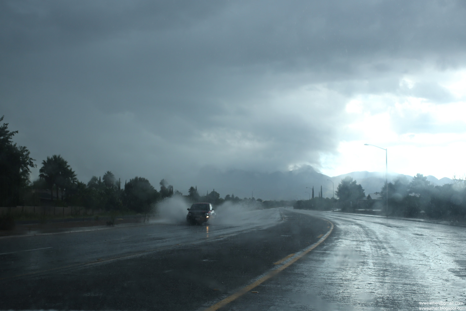
Flooded streets in Sierra Vista, AZ


Sunday, March 13, 2016

August 6th, 2015 Evening Thunderstorm & Lightning Pictures

A cluster of thunderstorms moved from Mexico into Palominas & Hereford area in the evening.


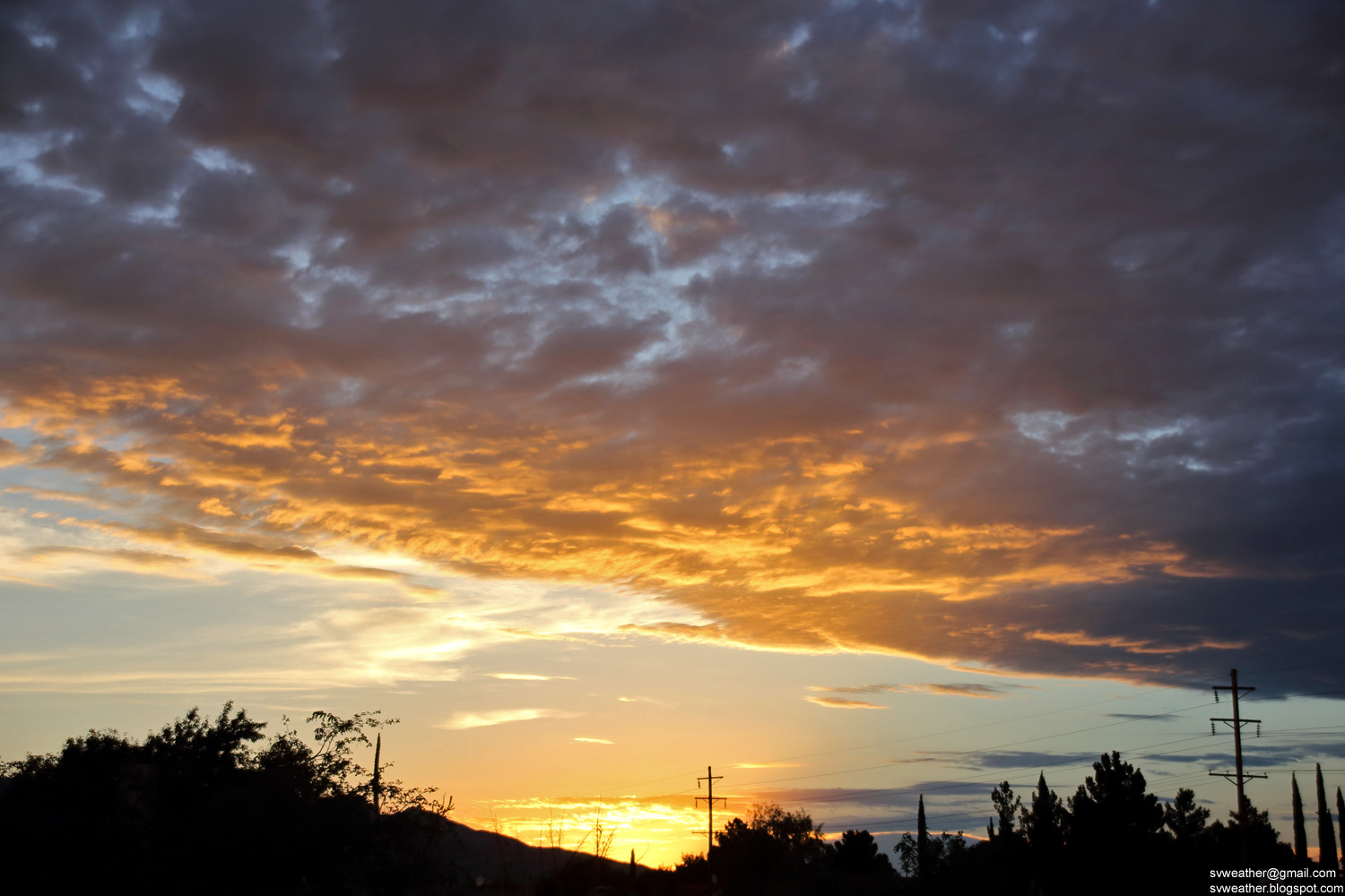
Sunset.


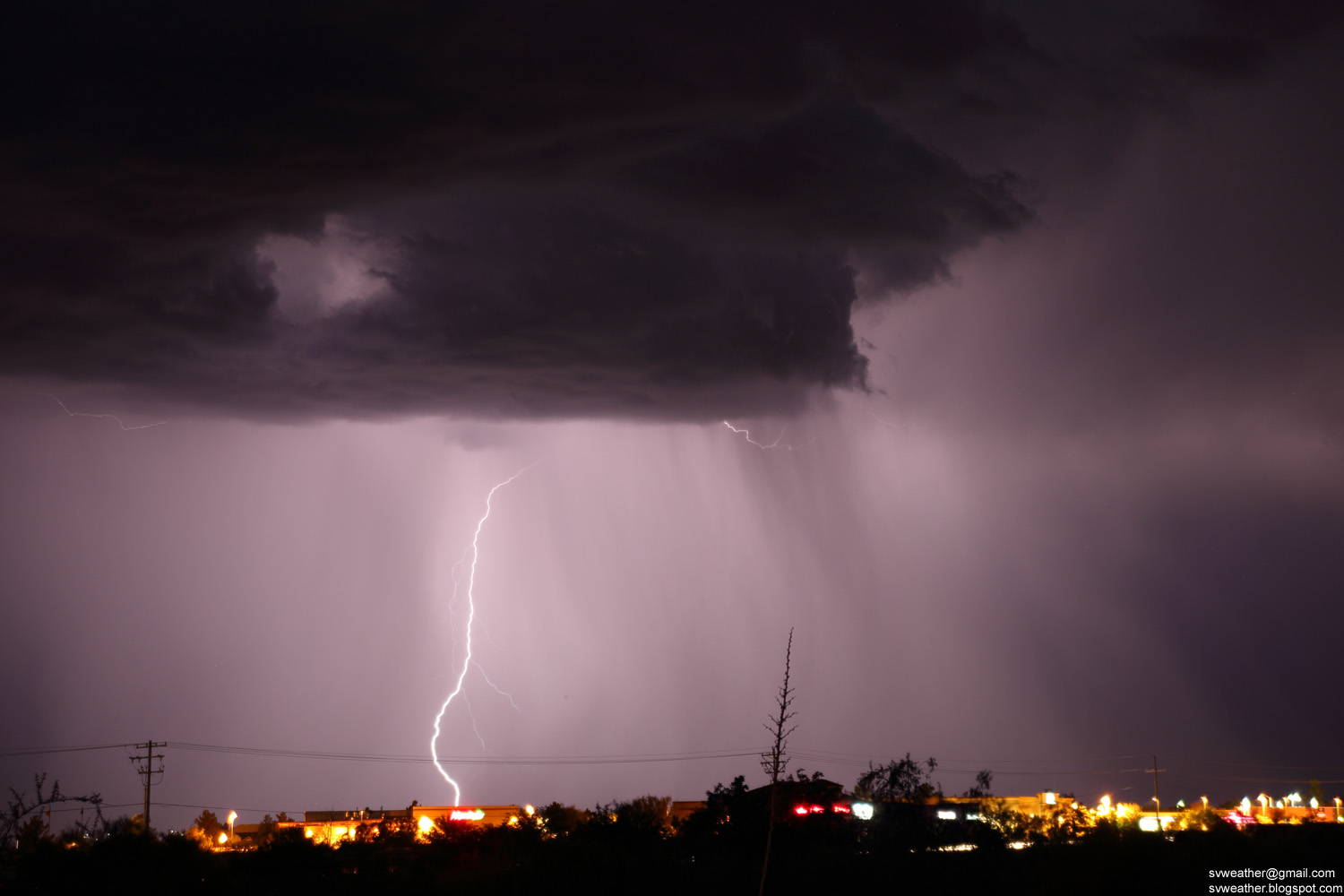
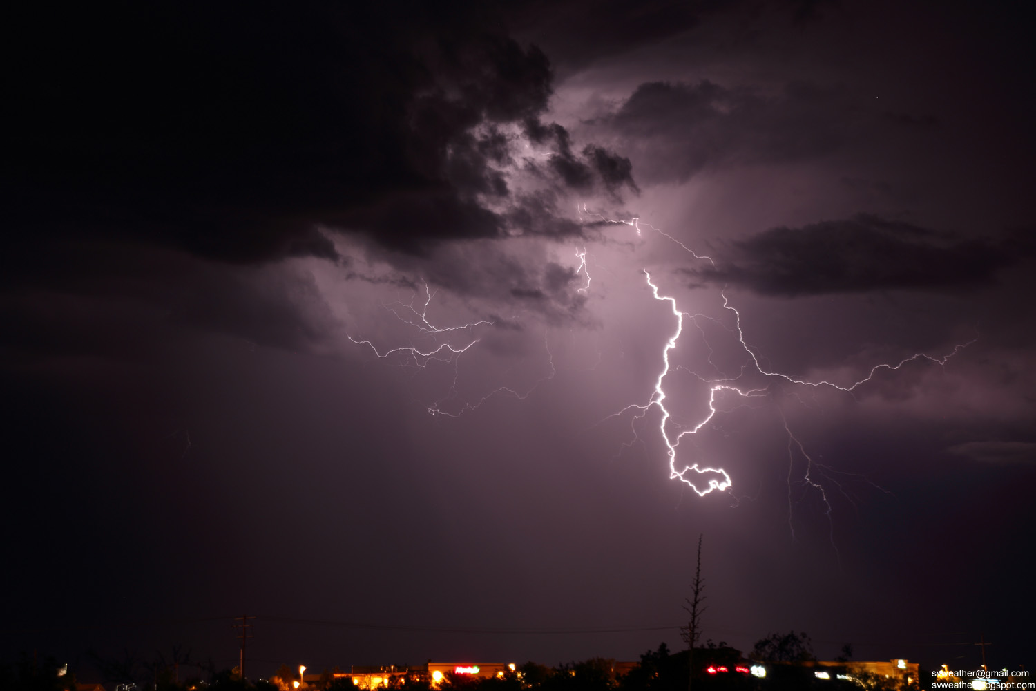
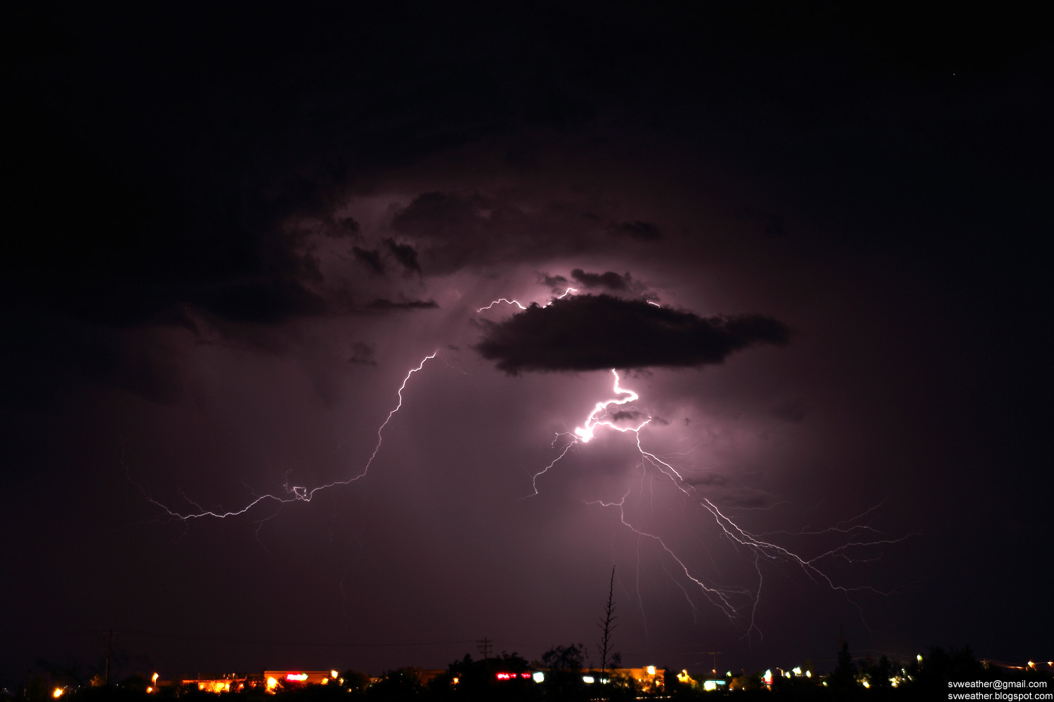
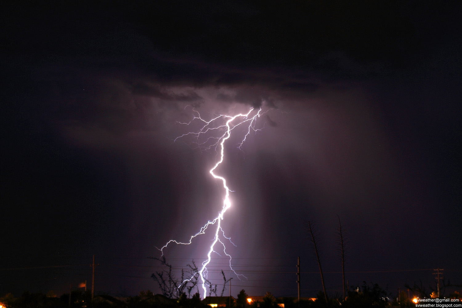
A few of best lightning shots from the night in Sierra Vista.


Thursday, January 21, 2016

July 31, 2015 Heavy Rain in Cochise County

4:28PM, Strong thunderstorm west of Huachuca City.


4:46PM, Storm near St. David.


4:56PM, A strong thunderstorm moving toward Tombstone.


5:18PM, Downpour in Huachua City.


July 30, 2015 Isolated Thunderstorms in Late Afternoon

4:59PM, Thunderstorm near Tombstone.


Around 5:30PM, Towering cloud near Fairbank. A few of lightning strikes were observed in the storm.


5:38PM, Sun rays south of Whetstone.


July 29, 2015 Strong Thunderstorm in Huachuca City

3:24PM, Isolated thunderstorm near Whetstone.


Around 4PM, Dark storm base and downpour over Huachuca City.


4:41PM, A thunderstorm moving into Huachuca City from southeast.


Received 1.29" of rain and recorded 42.5mph wind gust, the strongest thunderstorm wind of 2015 at my weather station.


Wednesday, November 4, 2015

July 28, 2015 Severe Thunderstorm near Elgin

2:30PM, Thunderstorm near I-10 Texas Canyon


3:34PM, A strong thunderstorm near Elgin.


3:41PM, Lowering clouds near the heaviest rain.


3:44PM, Frequent lightning strikes in the storm.


3:52PM, A new storm base developing over Elgin.